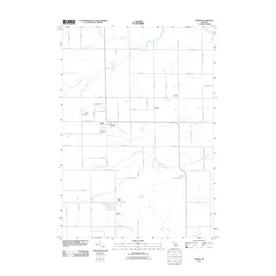
2011 Map of McBain
USGS Topo · Published 2011About this map
McBain serves as the central hub of this agricultural and wooded landscape in Missaukee County, where the McBain Post Office and Mount View Cemetery anchor the town center. The surrounding terrain is defined by a dense network of watercourses, including the Clam River in the north and the multi-pronged drainage system of North Branch Creek, Middle Branch Creek, and Dishwash Creek. This 2011 survey captures a mix of traditional land use and modern energy extraction, as seen with the Riverside Gas Field situated east of the main settlement.
Find a feature on this map
50 named features on this map. Tap any name to fly to it.
Don’t see what you’re looking for? This feature index may not catch every label — zoom into the map to look around manually.
Map Details
Editions of this 2011 McBain Map
This is the sole edition of this map. No revisions or reprints were ever made.
Other maps of this area

1954 · Traverse City
USGS Topo · 1:250,000

1956 · Cadillac North
USGS Topo · 1:62,500

1956 · Lake City
USGS Topo · 1:62,500

1957 · Cadillac South
USGS Topo · 1:62,500

1957 · Marion
USGS Topo · 1:62,500

1958 · Traverse City
USGS Topo · 1:250,000
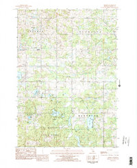
1983 · Dighton
USGS Topo · 1:25,000

1983 · Cadillac
USGS Topo · 1:100,000
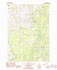
1983 · Temple
USGS Topo · 1:25,000

1983 · Lake City
USGS Topo · 1:25,000