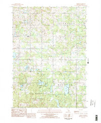
1983 Map of Dighton
USGS Topo · Published 1984About this map
Dighton and Ina anchor this landscape in Osceola County, reflecting a rural Michigan interior defined by glacial lakes and headwater streams. The area is divided into the townships of Sherman, Highland, Rose Lake, and Hartwick, with much of the southern half protected within the Pere Marquette State Forest. Numerous small water bodies like Goose Lake, Bootjack Lake, and Perch Lake dot the terrain, many showing development concentrated around their shorelines.
Find a feature on this map
36 named features on this map. Tap any name to fly to it.
Don’t see what you’re looking for? This feature index may not catch every label — zoom into the map to look around manually.
Map Details
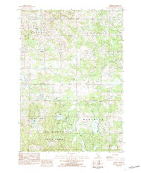
Editions of this 1983 Dighton Map
2 editions found
Other maps of this area

1954 · Traverse City
USGS Topo · 1:250,000

1954 · Midland
USGS Topo · 1:250,000

1957 · Cadillac South
USGS Topo · 1:62,500

1957 · Marion
USGS Topo · 1:62,500

1958 · Traverse City
USGS Topo · 1:250,000

1958 · Midland
USGS Topo · 1:250,000

1959 · Midland
USGS Topo · 1:250,000

1959 · Lake
USGS Topo · 1:62,500

1959 · Evart
USGS Topo · 1:62,500

1966 · Midland
USGS Topo · 1:250,000