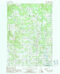
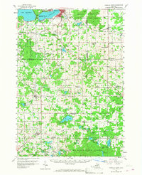
1987 Map of Reed City North
USGS Topo · Published 1987About this map
The Pere Marquette State Forest dominates the western half of this landscape on the border of Lake and Osceola Counties, where the headwaters of the Hersey River and its various branches create a complex drainage system. By the late 1980s, the region's industrial and infrastructure fingerprint was defined by energy and materials extraction, evidenced by a Pumping Station, a Compressor Station and Dehydration Plant, and numerous Sand Pits scattered throughout the glacial terrain.
Find a feature on this map
36 named features on this map. Tap any name to fly to it.
Don’t see what you’re looking for? This feature index may not catch every label — zoom into the map to look around manually.
Map Details
Editions of this 1987 Reed City North Map
This is the sole edition of this map. No revisions or reprints were ever made.
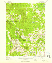
Other maps of this area
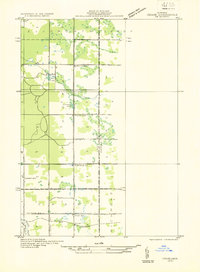
1931 · Chase NE
USGS Topo · 1:31,680
1932 · Chase NW
USGS Topo · 1:31,680
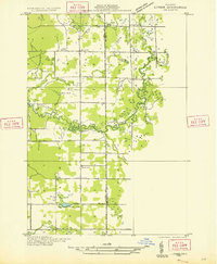
1933 · Luther SE
USGS Topo · 1:31,680

1933 · Luther SW
USGS Topo · 1:31,680

1954 · Traverse City
USGS Topo · 1:250,000

1954 · Midland
USGS Topo · 1:250,000
1957 · Cadillac South
USGS Topo · 1:62,500
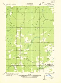
1957 · Luther
USGS Topo · 1:62,500

1958 · Traverse City
USGS Topo · 1:250,000

1958 · Midland
USGS Topo · 1:250,000