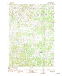
1983 Map of Dighton
USGS Topo · Published 1984About this map
Dighton stands as the primary settlement in this 1980s landscape of the Michigan northwoods, where glacial topography has created a dense network of kettle lakes and wetlands. The rural character of Osceola County is defined by its small community hubs, including the hamlet of Ina and the civic presence of the Townhall in Highland township. Social and family history is preserved at local landmarks like the Highland Ch and Free Methodist Ch, alongside the Highland Cem and Maple Valley Cem.
Find a feature on this map
34 named features on this map. Tap any name to fly to it.
Don’t see what you’re looking for? This feature index may not catch every label — zoom into the map to look around manually.
Map Details
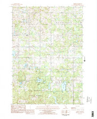
Editions of this 1983 Dighton Map
2 editions found
Other maps of this area

1954 · Traverse City
USGS Topo · 1:250,000

1954 · Midland
USGS Topo · 1:250,000

1957 · Cadillac South
USGS Topo · 1:62,500

1957 · Marion
USGS Topo · 1:62,500

1958 · Traverse City
USGS Topo · 1:250,000

1958 · Midland
USGS Topo · 1:250,000

1959 · Midland
USGS Topo · 1:250,000

1959 · Lake
USGS Topo · 1:62,500

1959 · Evart
USGS Topo · 1:62,500

1966 · Midland
USGS Topo · 1:250,000