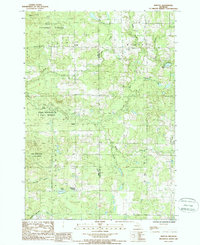
1987 Map of Bristol
USGS Topo · Published 1988About this map
Manistee National Forest and Pere Marquette State Forest dominate the landscape of northwestern Osceola County in the late 1980s. This survey records a geography defined by its drainage basins, where the Pine River and Manistee River carve through the glacial terrain. Smaller water bodies like Asplund Lake, Hewitt Lake, and Howe Lake are scattered throughout the forested regions, while the Little Manistee River cuts across the southwestern corner.
Find a feature on this map
29 named features on this map. Tap any name to fly to it.
Don’t see what you’re looking for? This feature index may not catch every label — zoom into the map to look around manually.
Map Details
Editions of this 1987 Bristol Map
This is the sole edition of this map. No revisions or reprints were ever made.
Other maps of this area

1931 · Chase NE
USGS Topo · 1:31,680

1932 · Chase NW
USGS Topo · 1:31,680

1933 · Luther SE
USGS Topo · 1:31,680

1933 · Luther SW
USGS Topo · 1:31,680

1933 · Luther NW
USGS Topo · 1:31,680

1954 · Traverse City
USGS Topo · 1:250,000

1954 · Midland
USGS Topo · 1:250,000

1957 · Cadillac South
USGS Topo · 1:62,500

1957 · Luther
USGS Topo · 1:62,500

1958 · Traverse City
USGS Topo · 1:250,000