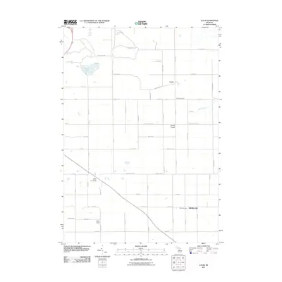
2011 Map of Lucas
USGS Topo · Published 2011About this map
Lucas and Stoney Corner serve as central points in this agricultural landscape of Missaukee and Wexford counties. The land is defined by a rigorous grid of section roads, including Meyering Rd and W Geers Rd, which connect the small clusters of Highland and various outlying landmarks. The terrain is largely dominated by open fields and woodlots, punctuated by the waters of Berry Lake and the flow of Marks Creek.
Find a feature on this map
37 named features on this map. Tap any name to fly to it.
Don’t see what you’re looking for? This feature index may not catch every label — zoom into the map to look around manually.
Map Details
Editions of this 2011 Lucas Map
This is the sole edition of this map. No revisions or reprints were ever made.
Other maps of this area

1954 · Traverse City
USGS Topo · 1:250,000

1956 · Cadillac North
USGS Topo · 1:62,500

1956 · Lake City
USGS Topo · 1:62,500

1957 · Cadillac South
USGS Topo · 1:62,500

1957 · Marion
USGS Topo · 1:62,500

1958 · Traverse City
USGS Topo · 1:250,000
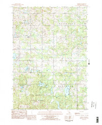
1983 · Dighton
USGS Topo · 1:25,000

1983 · Cadillac
USGS Topo · 1:100,000
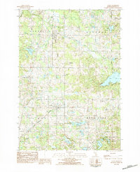
1983 · Le Roy
USGS Topo · 1:25,000

1983 · Lake City
USGS Topo · 1:25,000