Old Maps of LaSalle Township, Michigan for Metal Detecting
Plan your next treasure hunt with 45 historic maps of LaSalle Township. Find old homesites, ghost towns, trails, and gathering spots that may be lost to time — perfect for identifying promising metal detecting locations.
- Locate forgotten sites: Uncover places like long-lost settlements, abandoned rail lines, or gathering spots.
- Plan better hunts: Use map overlays combined with LiDAR or satellite views to narrow in on historically rich areas.
- Made for detectorists: Thousands of hobbyists use these maps to discover relics, coins, and hidden history.
Use these historic maps to boost your research and find new opportunities beneath the surface of LaSalle Township.
LaSalle Township, MI maps
(45)- 1912 Map of Monroe
 1912 Monroe1912 Print · USGSMonroe County before the First World War was a landscape defined by its strategic lakefront positioning and a massive concentration of competing railroads. Genealogists can trace the early footprints of Monroe, Brest P.O., and Erie while following local landmarks like Sandy Creek and Plum Creek.
 - 1912 Map of Dundee
 1912 Dundee1912 Print · USGSMonroe County was a bustling intersection of rail and river commerce just before the First World War. Local historians can trace the exact routes of the Cincinnati Northern R. R. and the Ann Arbor R. R. as they pass through Dundee and Petersburg.
 - 1914 Map of Monroe, 1928 Print
 1914 Monroe1928 Print · USGSCoastal Michigan between Detroit and Toledo is shown here in the early twentieth century as a bustling hub of rail and river commerce. Genealogists and historians can trace the paths of six different railroads through Monroe and locate the old Brest Post Office near Point Aux Peaux.
 - 1926 Map of Dundee
 1926 Dundee1926 Print · USGSSoutheastern Michigan is captured here during the height of the steam-rail era, showing the intricate network of Monroe County townships. Genealogists and historians can trace family locations near Dundee, Lambertville, or the rail junctions at Ida and Strasburgh.
 - 1927 Map of Monroe
 1927 Monroe1927 Print · USGSMonroe and the surrounding Lake Erie shoreline are shown here during the late 1930s as a thriving industrial and rail corridor. Researchers can locate family landmarks like the Monroe Co Cem, Strasburg Sch, and the notable Monroe Co Infirmary.
 - 1936 Map of Samaria
 1936 Samaria1936 Print · USGSDuring the mid-1930s, this corridor north of the Michigan-Ohio border was a hub of drainage projects and rail expansion. Researchers can trace the layout of the Ottawa Yard, the site of Vienna Junction, and local landmarks like Erie Union Cem and Yargerville Sch.
 - 1936 Map of Erie
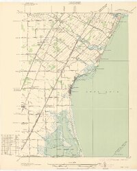 1936 Erie1936 Print · USGSCoastal Monroe County in the mid-1930s shows a landscape of lakeside resorts and busy rail corridors heading toward the Ohio line. Genealogists and local historians can locate early twentieth-century landmarks like San Freal Sch, Luna Pier, and the Roselawn Memorial Cem.
 - 1936 Map of Ida
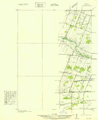 1936 Ida1936 Print · USGSMonroe County agriculture and rural life are captured here in the mid-1930s as a complex network of drains and creeks shaped the land. Researchers can locate several country schoolhouses like Grape Sch, the Immanuel Cem, and the village of Strasburg.
 - 1939 Map of Samaria, 1959 Print
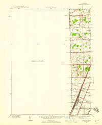 1939 Samaria1959 Print · USGSMonroe County farmland and early transport corridors are documented here just before the 1940s. Genealogists and local historians can trace family roots through Zion Ch, St Joseph Cem, and vanished schoolhouses like Dean Sch.
 - 1939 Map of Dundee, 1961 Print
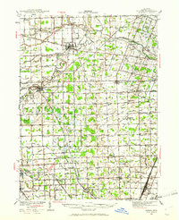 1939 Dundee1961 Print · USGSMonroe County before the war was a landscape of river-bend towns and rural school districts linked by an intricate rail and water network. Genealogists can locate family landmarks such as St Anthonys Ch, Wells Sch, and numerous burial grounds like Oak Grove Cem.2 unique versions available
 - 1940 Map of Ida
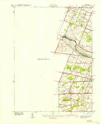 1940 Ida1940 Print · USGSMonroe County farmland and the village of Ida are captured here just before the war, when the New York Central railroad still fueled local transit. Researchers can trace rural school districts like King Sch and find family sites near Immanuel Cem.2 unique versions available
 - 1940 Map of Dundee
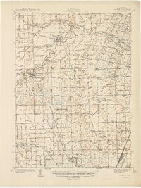 1940 Dundee1940 Print · USGSMonroe County's rural landscape is captured here in the late 1930s, showing a network of rail-side towns and country schools. Genealogists can locate family landmarks like St Joseph Cem, Hull Sch, and the riverside settlement of Dundee.
 - 1941 Map of Samaria
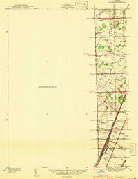 1941 Samaria1941 Print · USGSMonroe County was a hub of rail traffic and rural farming just before the war, with dense networks of drainage canals and country schools. Researchers can trace family roots through the St Joseph Cem, find the old Dean Sch, or explore the rail works at Ottawa Yard.
 - 1941 Map of Dundee
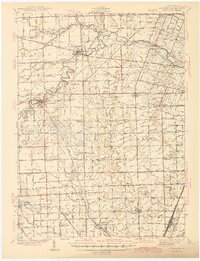 1941 Dundee1941 Print · USGSMonroe County was a thriving network of rail lines and rural school districts in the years just before the war. Genealogists can trace family landmarks and local institutions like St Anthonys Ch, Maplegrove Cem, and dozens of named schools including Hull Sch.2 unique versions available
 - 1942 Map of Monroe
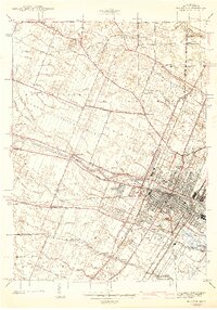 1942 Monroe1942 Print · USGSMonroe and its riverfront townships are shown here in the early 1940s, revealing a busy rail corridor and the city's growth. Genealogists can trace family sites like Sandy Creek Cem, St Marys Academy, and the County Infirmary.2 unique versions available
 - 1943 Map of Erie
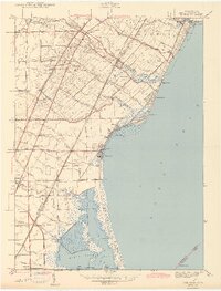 1943 Erie1943 Print · USGSThe Lake Erie shoreline in the early 1940s reveals a landscape of coastal marshes, growing beach communities, and vital rail corridors. Genealogists can locate family landmarks such as La Salle Cem and numerous country schools like San Freal Sch and Moran Sch.3 unique versions available
 - 1952 Map of Erie, 1953 Print
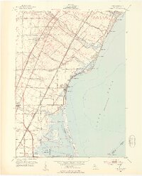 1952 Erie1953 Print · USGSThe Lake Erie shoreline in the early fifties shows a landscape defined by coastal resorts, marshlands, and heavy rail. Genealogists can locate family sites at Roselawn Memorial Cemetery or trace the rural school system at Keeney Sch and Agnew Sch.3 unique versions available
 - 1952 Map of Monroe, 1954 Print
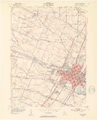 1952 Monroe1954 Print · USGSMonroe and its surrounding townships thrive in the early fifties as a hub of Lake Erie commerce and industry. Researchers can trace the layout of family neighborhoods and local landmarks like St Marys Academy, Tamarack, and the Custer Airport.2 unique versions available
 - 1956 Map of Toledo, 1968 Print
 1956 Toledo1968 Print · USGSNorthwest Ohio and the Lake Erie shoreline are shown in detail during the late fifties, showcasing a landscape of heavy industry, railroads, and island communities. Genealogists and historians can trace rail networks like the Chesapeake & Ohio RR or locate landmarks such as the Erie Proving Ground and Kelleys Island.4 unique versions available
 - 1961 Map of Toledo
 1961 Toledo1961 Print · USGSThe western basin of Lake Erie and the industrial heart of Northern Ohio are captured here during the post-war era. Researchers can trace historical rail lines like the New York Central or locate landmarks like the Erie Ordnance Depot and Pelee Island.
 - 1967 Map of Monroe, 1969 Print
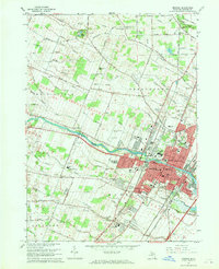 1967 Monroe1969 Print · USGSMonroe and its surrounding townships show a mix of industrial growth and rural tradition during the late sixties. Genealogists can trace family names through several burial grounds, including McIntyre Cem and Woodland Cem, while mapping the expansion of South Monroe.3 unique versions available
 - 1967 Map of Erie, 1969 Print
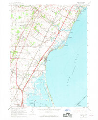 1967 Erie1969 Print · USGSThe Lake Erie shoreline in the late sixties reveals a landscape of industrial power and lakeside recreation at the Michigan-Ohio border. Researchers can trace the rail lines of the Penn Central, locate the St Joseph Sch in Erie, or explore the coastal reaches of the Woodtick Peninsula.2 unique versions available
 - 1972 Map of Ida, 1975 Print
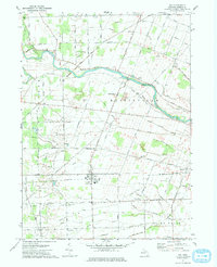 1972 Ida1975 Print · USGSMonroe County farmland and the village of Ida are captured in the early seventies as the region maintained its rural character. Genealogists and local historians can trace family locations through numerous rural burial grounds like St Joseph Cem and the Lulu Cem near the Lulu settlement.
 - 1972 Map of Lambertville East, 1975 Print
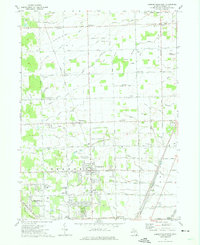 1972 Lambertville East1975 Print · USGSMonroe County in the early seventies shows a landscape of steady growth and deep-rooted community infrastructure. Genealogists and local researchers can trace family lines through St Anthonys Cem, locate the Bedford Jr High Sch, or find the old railroad crossings at Samaria.2 unique versions available
 - 1986 Map of Toledo
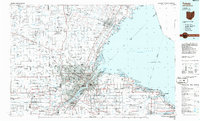 1986 Toledo1986 Print · USGSGreater Toledo and the Lake Erie shoreline are captured here in the mid-eighties, showcasing a massive network of industrial waterways and rail lines. You can trace the path of the Maumee River past Rossford or explore the conservation lands at Ottawa National Wildlife Refuge.2 unique versions available
Showing maps 1-25 of 45
Top cities near LaSalle Township
- Toledo historical maps
- Brownstown Charter Township historical maps
- Bedford Township historical maps
- Frenchtown Charter Township historical maps
- Monroe historical maps
- Oregon historical maps
See more
Top neighborhoods of LaSalle Township
- North Shores historical maps
- Hillcrest Orchard historical maps
- Yargerville historical maps
- Grand View historical maps
- LaSalle historical maps
Frequently asked questions
- What are the different types of historical maps available for LaSalle Township?
- What is the oldest map of LaSalle Township?
- Where can I purchase historical maps of LaSalle Township for my home or office?
- Where can I download high-res historical maps of LaSalle Township?
- Are there historical topographic maps available for LaSalle Township?
- Is there historical aerial imagery available for LaSalle Township?
- Where are historical maps of LaSalle Township sourced from?