Old Maps of Whiteford Township, Michigan for Metal Detecting
Plan your next treasure hunt with 42 historic maps of Whiteford Township. Find old homesites, ghost towns, trails, and gathering spots that may be lost to time — perfect for identifying promising metal detecting locations.
- Locate forgotten sites: Uncover places like long-lost settlements, abandoned rail lines, or gathering spots.
- Plan better hunts: Use map overlays combined with LiDAR or satellite views to narrow in on historically rich areas.
- Made for detectorists: Thousands of hobbyists use these maps to discover relics, coins, and hidden history.
Use these historic maps to boost your research and find new opportunities beneath the surface of Whiteford Township.
Whiteford Township, MI maps
(42)- 1900 Map of Toledo, 1932 Print
 1900 Toledo1932 Print · USGSToledo and the lower Maumee River valley are shown at the height of the railroad era, as the city expanded into an industrial powerhouse. Researchers can trace early infrastructure like the Michigan Division Canal and locate historic sites like the Toledo Insane Asylum or the Oil Wells near Lime City.
 - 1911 Map of Swanton, 1956 Print
 1911 Swanton1956 Print · USGSNorthwest Ohio and the Michigan border are captured here just before the era of major highway expansion. Genealogists can trace early twentieth-century property locations near Metamora, Raab Corners, and numerous rural schoolhouses like Frogpond School.
 - 1912 Map of Dundee
 1912 Dundee1912 Print · USGSMonroe County was a bustling intersection of rail and river commerce just before the First World War. Local historians can trace the exact routes of the Cincinnati Northern R. R. and the Ann Arbor R. R. as they pass through Dundee and Petersburg.
 - 1914 Map of Swanton, 1937 Print
 1914 Swanton1937 Print · USGSThe Ohio-Michigan borderlands come alive in this era of peak rail transit and rural schoolhouse density. Genealogists and historians can trace family roots through numerous local landmarks like Metamora, Richfield Center, and uniquely named sites such as Huckleberry School or Frogpond School.
 - 1926 Map of Dundee
 1926 Dundee1926 Print · USGSSoutheastern Michigan is captured here during the height of the steam-rail era, showing the intricate network of Monroe County townships. Genealogists and historians can trace family locations near Dundee, Lambertville, or the rail junctions at Ida and Strasburgh.
 - 1935 Map of Berkey
 1935 Berkey1935 Print · USGSLucas County farms and small crossroads settlements are captured here in the mid-1930s as the region transitioned from electric rail to highway travel. Researchers can trace family sites near Wolfinger Cem, the St Elizabeth Sch Richfield Center, and the industrial spur at Allen Junction.
 - 1937 Map of Sylvania
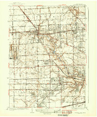 1937 Sylvania1937 Print · USGSSylvania and the Ohio-Michigan borderlands are shown in the mid-1930s as limestone extraction and suburban neighborhoods began to reshape the landscape. Researchers can trace local industry at Medusa Quarry or locate vanished rural landmarks like Dorr St Sch and the Boy Scout Reservation.2 unique versions available
 - 1939 Map of Berkey
 1939 Berkey1939 Print · USGSNorthwest Ohio at the end of the Depression reveals a landscape defined by rail transit and reclaimed wetlands. Trace the path of the Toledo and Western Railroad or locate family roots near Richfield Center and the Immaculate Conception Sch.3 unique versions available
 - 1939 Map of Blissfield, 1958 Print
 1939 Blissfield1958 Print · USGSSoutheastern Michigan agriculture and industry are in full view during the late 1930s as a dense network of railroads and rivers connects small farm towns. Local historians can trace the locations of dozens of vanished schools like Ford Sch and rail junctions like Lenawee Junction.
 - 1939 Map of Dundee, 1961 Print
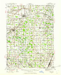 1939 Dundee1961 Print · USGSMonroe County before the war was a landscape of river-bend towns and rural school districts linked by an intricate rail and water network. Genealogists can locate family landmarks such as St Anthonys Ch, Wells Sch, and numerous burial grounds like Oak Grove Cem.2 unique versions available
 - 1940 Map of Dundee
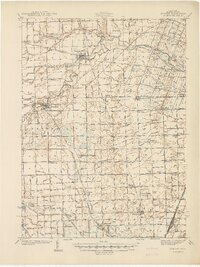 1940 Dundee1940 Print · USGSMonroe County's rural landscape is captured here in the late 1930s, showing a network of rail-side towns and country schools. Genealogists can locate family landmarks like St Joseph Cem, Hull Sch, and the riverside settlement of Dundee.
 - 1941 Map of Blissfield
 1941 Blissfield1941 Print · USGSSoutheastern Michigan is captured here just before the war, showcasing a landscape defined by the winding Raisin River and its busy rail corridors. Genealogists and historians can trace dozens of country schoolhouses like Centennial Sch and family landmarks near Blissfield and Lenawee Junction.2 unique versions available
 - 1941 Map of Dundee
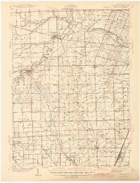 1941 Dundee1941 Print · USGSMonroe County was a thriving network of rail lines and rural school districts in the years just before the war. Genealogists can trace family landmarks and local institutions like St Anthonys Ch, Maplegrove Cem, and dozens of named schools including Hull Sch.2 unique versions available
 - 1951 Map of Berkey, 1952 Print
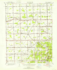 1951 Berkey1952 Print · USGSThis Lucas County landscape in the early fifties shows a rural community defined by family farms and the Michigan-Ohio border. Genealogists can locate family landmarks like the Wolfinger Cemetery, Sharples Church, and schools like Mulberry School.3 unique versions available
 - 1951 Map of Sylvania, 1952 Print
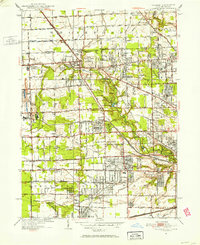 1951 Sylvania1952 Print · USGSSylvania and the northern edge of Lucas County appear here in the early fifties, caught between its rail-industrial roots and growing suburban leisure. Researchers can trace family sites from Toledo Memorial Park and Cemetery to vanished landmarks like the Drive-In Theater and Franklin Airport.2 unique versions available
 - 1956 Map of Toledo, 1968 Print
 1956 Toledo1968 Print · USGSNorthwest Ohio and the Lake Erie shoreline are shown in detail during the late fifties, showcasing a landscape of heavy industry, railroads, and island communities. Genealogists and historians can trace rail networks like the Chesapeake & Ohio RR or locate landmarks such as the Erie Proving Ground and Kelleys Island.4 unique versions available
 - 1961 Map of Toledo
 1961 Toledo1961 Print · USGSThe western basin of Lake Erie and the industrial heart of Northern Ohio are captured here during the post-war era. Researchers can trace historical rail lines like the New York Central or locate landmarks like the Erie Ordnance Depot and Pelee Island.
 - 1965 Map of Sylvania, 1967 Print
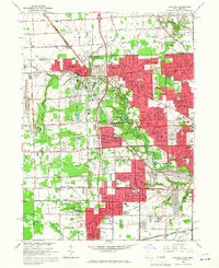 1965 Sylvania1967 Print · USGSGreater Toledo and Sylvania are captured during a period of significant suburban expansion in the mid-1960s. Genealogists and local historians can map out family landmarks like Toledo Memorial Park, St Theresa Ch, and schools from Silica to Ottawa Hills.3 unique versions available
 - 1966 Map of Berkey, 1968 Print
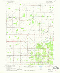 1966 Berkey1968 Print · USGSThe Ohio-Michigan borderlands show their mid-century agricultural character in this detailed survey. Genealogists and local historians can trace family locations near Berkey, Richfield Center, and the Wolfinger Cem.2 unique versions available
 - 1972 Map of Lambertville West, 1975 Print
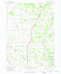 1972 Lambertville West1975 Print · USGSMonroe County in the early seventies shows a landscape of steady agricultural life and evolving transit corridors. Researchers can trace family-named roads and rural centers like Whiteford Center or local landmarks including Zion Ch and the Ottawa Lakebed.2 unique versions available
 - 1972 Map of Blissfield, 1975 Print
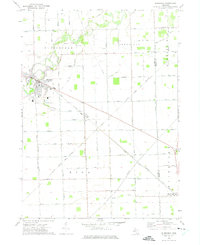 1972 Blissfield1975 Print · USGSSoutheastern Michigan agriculture and transit converge during the early seventies as the Raisin River meanders toward Lake Erie. Genealogists can trace family footprints across the Lenawee and Monroe border, locating sites like Logan Cem, Riga Cem, and the village of Ottawa Lake.
 - 1986 Map of Toledo
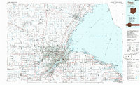 1986 Toledo1986 Print · USGSGreater Toledo and the Lake Erie shoreline are captured here in the mid-eighties, showcasing a massive network of industrial waterways and rail lines. You can trace the path of the Maumee River past Rossford or explore the conservation lands at Ottawa National Wildlife Refuge.2 unique versions available
 - 2011 Map of Blissfield, 2011 Print
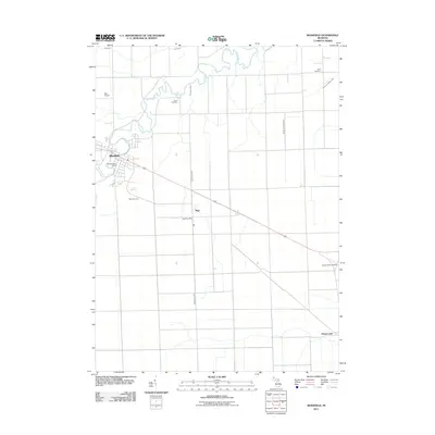 2011 Blissfield2011 Print · USGSCovers Whiteford Township, including Summerfield Township, Blissfield, and other nearby areas
 - 2011 Map of Sylvania, 2011 Print
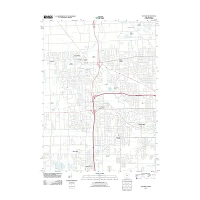 2011 Sylvania2011 Print · USGSSylvania and the northern suburbs of Toledo are shown here in the early twenty-first century as established residential communities. Local historians can trace the grounds of Camp Miakonda, the Toledo Suburban Airport, and several local burial sites like Joy Cemetery.
 - 2011 Map of Lambertville West, 2011 Print
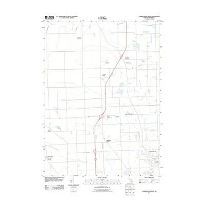 2011 Lambertville West2011 Print · USGSCovers Whiteford Township, including Bedford Township, Lambertville, and other nearby areas
Showing maps 1-25 of 42
Top cities near Whiteford Township
- Toledo historical maps
- Bedford Township historical maps
- Perrysburg historical maps
- Oregon historical maps
- Sylvania historical maps
- Monroe Charter Township historical maps
See more
Top neighborhoods of Whiteford Township
Frequently asked questions
- What are the different types of historical maps available for Whiteford Township?
- What is the oldest map of Whiteford Township?
- Where can I purchase historical maps of Whiteford Township for my home or office?
- Where can I download high-res historical maps of Whiteford Township?
- Are there historical topographic maps available for Whiteford Township?
- Is there historical aerial imagery available for Whiteford Township?
- Where are historical maps of Whiteford Township sourced from?