Old Maps of Crystal Township, Michigan for Metal Detecting
Plan your next treasure hunt with 29 historic maps of Crystal Township. Find old homesites, ghost towns, trails, and gathering spots that may be lost to time — perfect for identifying promising metal detecting locations.
- Locate forgotten sites: Uncover places like long-lost settlements, abandoned rail lines, or gathering spots.
- Plan better hunts: Use map overlays combined with LiDAR or satellite views to narrow in on historically rich areas.
- Made for detectorists: Thousands of hobbyists use these maps to discover relics, coins, and hidden history.
Use these historic maps to boost your research and find new opportunities beneath the surface of Crystal Township.
Crystal Township, MI maps
(29)- 1954 Map of Midland, 1967 Print
 1954 Midland1967 Print · USGSMid-Michigan at the peak of the post-war era shows a landscape balancing industrial growth in Midland with the deep timberlands of the Manistee National Forest. Researchers can trace the legacy of the timber and rail era along the Pennsylvania RR or find family roots in river towns like Chesaning and Big Rapids.4 unique versions available
 - 1958 Map of Midland
 1958 Midland1958 Print · USGSCentral Michigan in the late fifties is captured here during a period of transition for its university towns and industrial hubs. Genealogists and researchers can trace family lines through old rail-stop towns like Breckenridge and Chesaning or locate property near the Muskegon River and Prairie Farm.
 - 1959 Map of Midland
 1959 Midland1959 Print · USGSMid-century Michigan comes alive in this survey of the central Lower Peninsula, from the streets of Grand Rapids to the Houghton Lake timberlands. Genealogists and rail fans can trace the Ann Arbor RR and Chesapeake and Ohio RR through towns like Big Rapids and Mount Pleasant.
 - 1965 Map of Sumner, 1966 Print
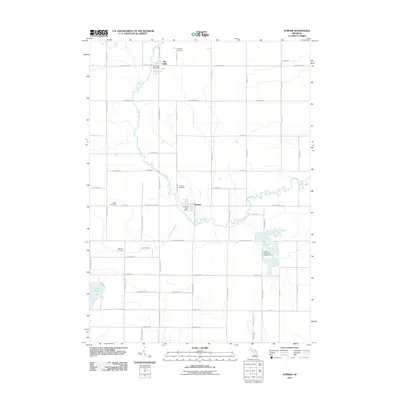
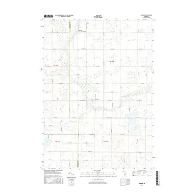
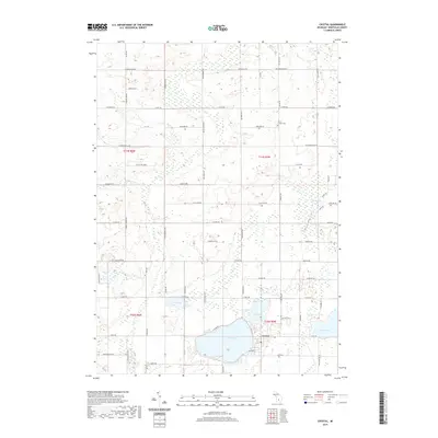
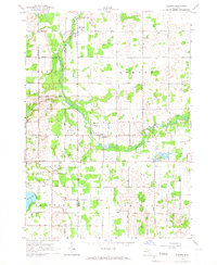 1965 Sumner1966 Print · USGSGratiot and Montcalm counties are captured here in the mid-1960s, showing a rural landscape where the Pine River winds through agricultural townships. Researchers can trace family history through local sites like Spencer Chapel, Elm Hall Cem, and Crystal Sch.2 unique versions available
 - 1965 Map of Crystal, 1966 Print
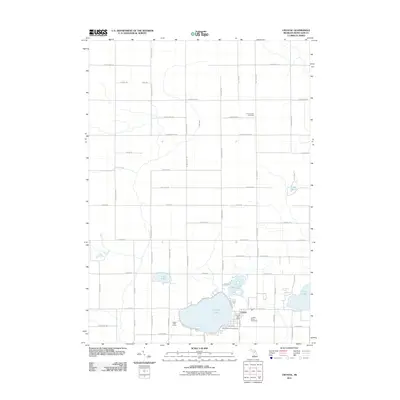
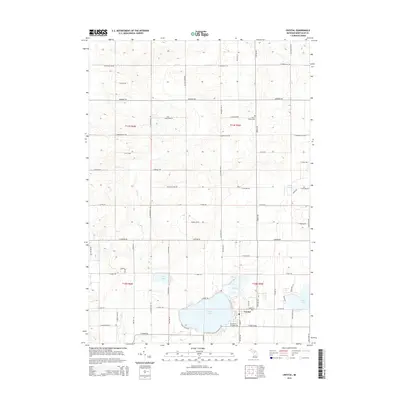
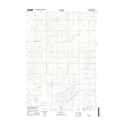
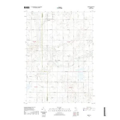
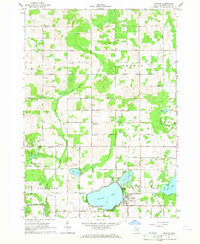 1965 Crystal1966 Print · USGSMontcalm County’s rural townships are seen here in the mid-1960s, a period when lakeside recreation and gravel mining shaped the local economy. Genealogists can locate old rural landmarks like Ferris Ch and West End Sch or trace the early development of Crystal on the shores of Crystal Lake.
 - 1966 Map of Midland
 1966 Midland1966 Print · USGSCentral Michigan in the mid-1960s shows a landscape of growing manufacturing hubs and active resource extraction. Genealogists and historians can trace the rail corridors of the Grand Trunk Western or locate family-named landmarks near Oil wells and the Muskegon River.
 - 1967 Map of Carson City, 1968 Print
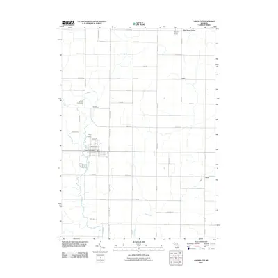
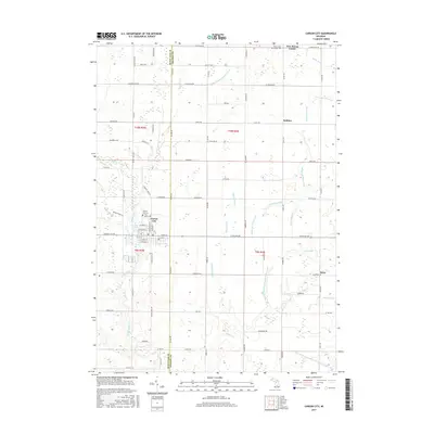
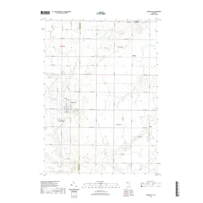
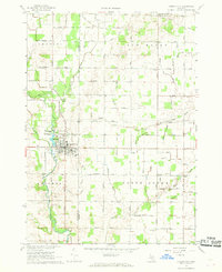 1967 Carson City1968 Print · USGSMid-Michigan farm country and the industrial center of Carson City are captured here in the late sixties. Genealogists and local historians can trace the foundations of the community through landmarks like the Oil Refinery, North Shade Sch, and Mt Hope Ch.
 - 1967 Map of Butternut, 1969 Print
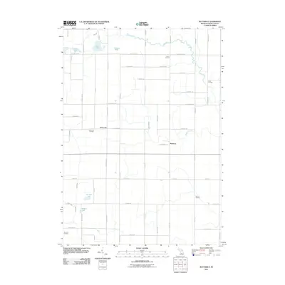
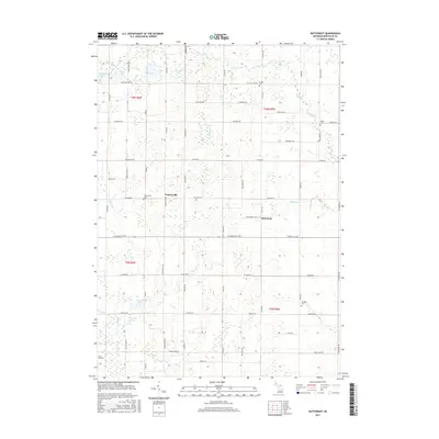
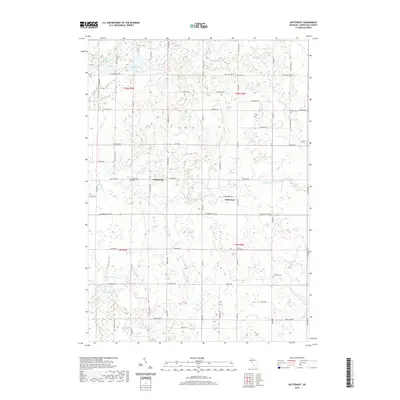
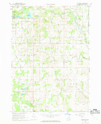 1967 Butternut1969 Print · USGSMontcalm County farmland was defined by its winding creeks and glacial lakes during the late sixties. Genealogists and local historians can trace the roads connecting Vickeryville and Butternut, and locate family burial sites like Bloomer Cem or Butke Cem.2 unique versions available
 - 1985 Map of Alma
 1985 Alma1985 Print · USGSCentral Michigan in the mid-eighties shows a landscape of steady agricultural communities and vital rail corridors. Genealogists and local historians can trace family roots through the detailed grids of Alma, Ithaca, and Chesaning, or locate rural landmarks like Riverside Cem and Lumberjack Land Airport.2 unique versions available
 - 2011 Map of Carson City, 2011 Print
 2011 Carson City2011 Print · USGSCovers Crystal Township, including Carson City, Bloomer Township, and other nearby areas
 - 2011 Map of Crystal, 2011 Print
 2011 Crystal2011 Print · USGSCovers Crystal Township, including Crystal, Evergreen Township, and other nearby areas
 - 2011 Map of Sumner, 2011 Print
 2011 Sumner2011 Print · USGSCovers Crystal Township, including Sumner, Elm Hall, and other nearby areas
 - 2011 Map of Butternut, 2011 Print
 2011 Butternut2011 Print · USGSCovers Crystal Township, including Evergreen Township, Bloomer Township, and other nearby areas
 - 2014 Map of Crystal, 2014 Print
 2014 Crystal2014 Print · USGSCovers Crystal Township, including Crystal, Evergreen Township, and other nearby areas
 - 2014 Map of Carson City, 2014 Print
 2014 Carson City2014 Print · USGSCovers Crystal Township, including Carson City, Bloomer Township, and other nearby areas
 - 2014 Map of Sumner, 2014 Print
 2014 Sumner2014 Print · USGSCovers Crystal Township, including Sumner, Elm Hall, and other nearby areas
 - 2014 Map of Butternut, 2014 Print
 2014 Butternut2014 Print · USGSCovers Crystal Township, including Evergreen Township, Bloomer Township, and other nearby areas
 - 2017 Map of Crystal, 2017 Print
 2017 Crystal2017 Print · USGSCovers Crystal Township, including Crystal, Evergreen Township, and other nearby areas
 - 2017 Map of Butternut, 2017 Print
 2017 Butternut2017 Print · USGSCovers Crystal Township, including Evergreen Township, Bloomer Township, and other nearby areas
 - 2017 Map of Carson City, 2017 Print
 2017 Carson City2017 Print · USGSCovers Crystal Township, including Carson City, Bloomer Township, and other nearby areas
 - 2017 Map of Sumner, 2017 Print
 2017 Sumner2017 Print · USGSCovers Crystal Township, including Sumner, Elm Hall, and other nearby areas
 - 2019 Map of Carson City, 2019 Print
 2019 Carson City2019 Print · USGSCovers Crystal Township, including Carson City, Bloomer Township, and other nearby areas
 - 2019 Map of Sumner, 2019 Print
 2019 Sumner2019 Print · USGSCovers Crystal Township, including Sumner, Elm Hall, and other nearby areas
 - 2019 Map of Crystal, 2019 Print
 2019 Crystal2019 Print · USGSCovers Crystal Township, including Crystal, Evergreen Township, and other nearby areas
 - 2019 Map of Butternut, 2019 Print
 2019 Butternut2019 Print · USGSCovers Crystal Township, including Evergreen Township, Bloomer Township, and other nearby areas
Showing maps 1-25 of 29
Top cities near Crystal Township
- Alma historical maps
- Crystal historical maps
- Sumner historical maps
- Stanton historical maps
- Edmore historical maps
- Carson City historical maps
See more
Top neighborhoods of Crystal Township
Frequently asked questions
- What are the different types of historical maps available for Crystal Township?
- What is the oldest map of Crystal Township?
- Where can I purchase historical maps of Crystal Township for my home or office?
- Where can I download high-res historical maps of Crystal Township?
- Are there historical topographic maps available for Crystal Township?
- Is there historical aerial imagery available for Crystal Township?
- Where are historical maps of Crystal Township sourced from?