
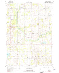
1965 Map of Sumner
USGS Topo · Published 1966About this map
The Pine River meanders across this rural landscape, defining the character of the Sumner and Ferris townships during the mid-1960s. The region is marked by a grid of family-named roads, such as Kendaville Road and Warner Road, which connect small agrarian settlements like Elm Hall. Local social and civic life is anchored by landmarks like the Spencer Chapel, the Townhall, and schools including Wolford Sch.
Find a feature on this map
49 named features on this map. Tap any name to fly to it.
Don’t see what you’re looking for? This feature index may not catch every label — zoom into the map to look around manually.
Map Details
Editions of this 1965 Sumner Map
2 editions found
Other maps of this area

1918 · Perrinton
USGS Topo · 1:62,500

1935 · Alma
USGS Topo · 1:62,500

1938 · Alma
USGS Topo · 1:62,500

1943 · Perrinton
USGS Topo · 1:62,500

1954 · Midland
USGS Topo · 1:250,000

1958 · Midland
USGS Topo · 1:250,000

1959 · Midland
USGS Topo · 1:250,000

1965 · Vestaburg
USGS Topo · 1:24,000
1965 · Perrinton
USGS Topo · 1:24,000

1965 · Crystal
USGS Topo · 1:24,000