
1965 Map of Crystal
USGS Topo · Published 1966About this map
Crystal Lake serves as the focal point for this mid-1960s agricultural and recreational landscape in Montcalm County. The settlement of Crystal is densely developed on the lake's eastern shore, characterized by a tight grid of streets and lakeside cottages, while nearby Krum Park offers a smaller residential pocket to the west. The surrounding townships of Day, Ferris, Evergreen, and Crystal are defined by a regular mile-square road grid, where local life centered around rural landmarks like Ferris Ch, Pine Grove Ch, and schools such as Vestaburg Sch. Extensive networks of Gravel Pits and various pipelines suggest a landscape shaped by resource extraction and utility infrastructure. Conservation efforts are evident in the Stanton State Game Area, which preserves the wetlands and winding course of Fish Creek as it flows south toward the larger lakes.
Find a feature on this map
44 named features on this map. Tap any name to fly to it.
Don’t see what you’re looking for? This feature index may not catch every label — zoom into the map to look around manually.
Map Details
Editions of this 1965 Crystal Map
This is the sole edition of this map. No revisions or reprints were ever made.
Other maps of this area

1954 · Midland
USGS Topo · 1:250,000

1958 · Midland
USGS Topo · 1:250,000

1959 · Midland
USGS Topo · 1:250,000

1964 · Edmore
USGS Topo · 1:24,000

1964 · Stanton
USGS Topo · 1:24,000

1965 · Vestaburg
USGS Topo · 1:24,000

1965 · Sumner
USGS Topo · 1:24,000
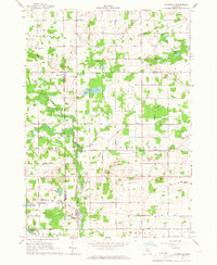
1965 · Riverdale
USGS Topo · 1:24,000

1966 · Midland
USGS Topo · 1:250,000
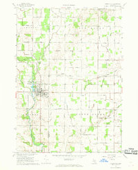
1967 · Carson City
USGS Topo · 1:24,000