Old Maps of Pierson, Michigan for Academic Research
Study the evolution of Pierson with 20 high-resolution historic maps. Whether you're teaching, researching, or modeling changes in land use, these maps provide essential visual documentation of urban, environmental, and geographic change.
- Analyze long-term change: Track patterns in development, transportation, and natural features.
- Ideal for environmental or urban studies: Support academic projects with primary historical map data.
- Use in the classroom or lab: Educators and researchers rely on these maps to bring historical context to life.
These maps are a powerful tool for teaching, research, and visualizing how Pierson has changed over the decades.
Pierson, MI maps
(20)- 1954 Map of Midland, 1967 Print
 1954 Midland1967 Print · USGSMid-Michigan at the peak of the post-war era shows a landscape balancing industrial growth in Midland with the deep timberlands of the Manistee National Forest. Researchers can trace the legacy of the timber and rail era along the Pennsylvania RR or find family roots in river towns like Chesaning and Big Rapids.4 unique versions available
 - 1958 Map of Midland
 1958 Midland1958 Print · USGSCentral Michigan in the late fifties is captured here during a period of transition for its university towns and industrial hubs. Genealogists and researchers can trace family lines through old rail-stop towns like Breckenridge and Chesaning or locate property near the Muskegon River and Prairie Farm.
 - 1958 Map of Sand Lake, 1960 Print
 1958 Sand Lake1960 Print · USGSWest-central Michigan at the close of the fifties reveals a landscape shaped by the meeting of the Muskegon rivers and the expansive Manistee National Forest. Genealogists can locate family names and sites at Ensley Center, the Lady of Guadalupe Mission, and the Sand Lake Cem.2 unique versions available
 - 1959 Map of Midland
 1959 Midland1959 Print · USGSMid-century Michigan comes alive in this survey of the central Lower Peninsula, from the streets of Grand Rapids to the Houghton Lake timberlands. Genealogists and rail fans can trace the Ann Arbor RR and Chesapeake and Ohio RR through towns like Big Rapids and Mount Pleasant.
 - 1959 Map of Howard City, 1960 Print
 1959 Howard City1960 Print · USGSMontcalm and Mecosta Counties thrived as a patchwork of farming and rail-side villages in the late fifties. You can trace early family sites at Little Denmark, the James Ch Settlement, and numerous rural schools like Huggard Sch or Gaffield Sch.2 unique versions available
 - 1966 Map of Midland
 1966 Midland1966 Print · USGSCentral Michigan in the mid-1960s shows a landscape of growing manufacturing hubs and active resource extraction. Genealogists and historians can trace the rail corridors of the Grand Trunk Western or locate family-named landmarks near Oil wells and the Muskegon River.
 - 1985 Map of Sand Lake
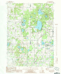 1985 Sand Lake1985 Print · USGSThe tri-county junction of Kent, Newaygo, and Montcalm comes to life in this mid-eighties survey of lake-dotted townships. You can trace early community footprints through the Crandall Cem, the village of Pierson, and the small settlement at Eisley Center.
 - 1985 Map of Cedar Springs
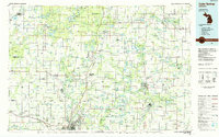 1985 Cedar Springs1985 Print · USGSThe northern reaches of the Grand Rapids metro area meet the forests of the Manistee during the mid-eighties. Genealogists and historians can trace the paths of the Grand Trunk Western RR through Sparta or locate rural landmarks near Cedar Springs and Rockford.
 - 1985 Map of Coral
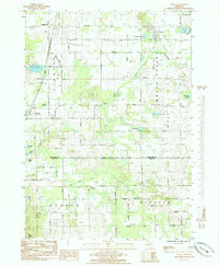 1985 Coral1985 Print · USGSThe glacial landscape of Montcalm County in the mid-eighties is captured here, centered on the village of Coral and the broad Maple Valley. Trace family history at Maple Hill Ch, St Marys Cem, and the old rail corridor.
 - 1986 Map of Cedar Springs, 1989 Print
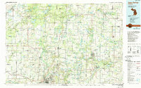 1986 Cedar Springs1989 Print · USGSThe northern suburbs of Grand Rapids meet the Manistee National Forest in the mid-1980s. Genealogists and historians can trace the rail-side growth of Howard City, Rockford, and Greenville along the C & O RR and Flat River.
 - 2011 Map of Coral, 2011 Print
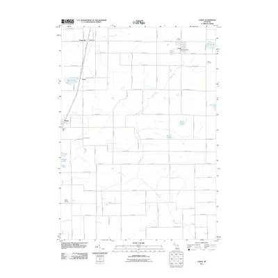 2011 Coral2011 Print · USGSMontcalm County townships appear in their modern rural character during the early twenty-first century. Genealogists can trace family footprints through Coral, Coady, and Saint Marys Cemetery or locate old community centers at Maple Hill and Hiram.
 - 2011 Map of Sand Lake, 2011 Print
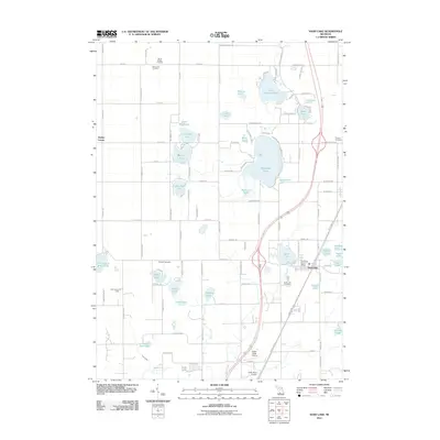 2011 Sand Lake2011 Print · USGSThe village of Sand Lake and the surrounding lake country are shown in detail during the early 2000s. Genealogists and local historians can locate several burial grounds like Crandall Cemetery and Saint John Cemetery or landmarks like the Fisk Lookout Tower.
 - 2014 Map of Sand Lake, 2014 Print
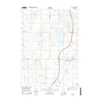 2014 Sand Lake2014 Print · USGSThe tri-county border area of Newaygo, Montcalm, and Kent Counties is shown here in the early 2010s, featuring a landscape defined by dozens of glacial lakes. Researchers can locate family sites near Pierson Cem or Sand Lake Cem and trace rural routes between Ensley Center and Cheney Hills.
 - 2014 Map of Coral, 2014 Print
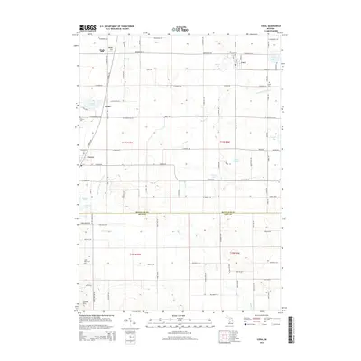 2014 Coral2014 Print · USGSMontcalm and Kent counties appear here in the modern era, showing the enduring rural layout of the Coral and Pierson vicinity. Researchers can locate local landmarks such as Coral Cem, family-named sites like Barnard Lake, and small settlements at Maple Hill and Hiram.
 - 2017 Map of Coral, 2017 Print
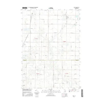 2017 Coral2017 Print · USGSMontcalm County at the dawn of the twenty-first century is captured here in detail, centered on the village of Coral. Genealogists and local historians can locate early burial sites at Coral Cem and Coady Cem, or trace the rail-to-trail conversion of the White Pine Trail.
 - 2017 Map of Sand Lake, 2017 Print
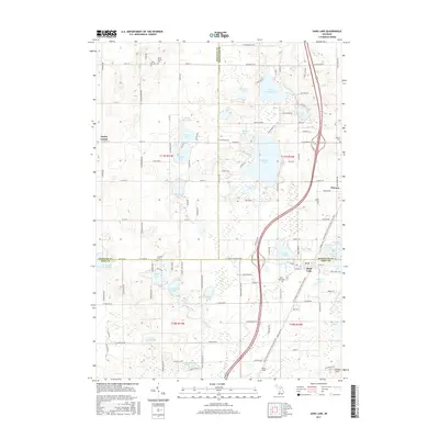 2017 Sand Lake2017 Print · USGSThe tri-county borderlands of West Michigan are captured here in the late twenty-first century. Researchers can trace family roots at Saint John Cemetery or explore the lakefront layouts of Sand Lake, Pierson, and Whitefish Lake.
 - 2019 Map of Coral, 2019 Print
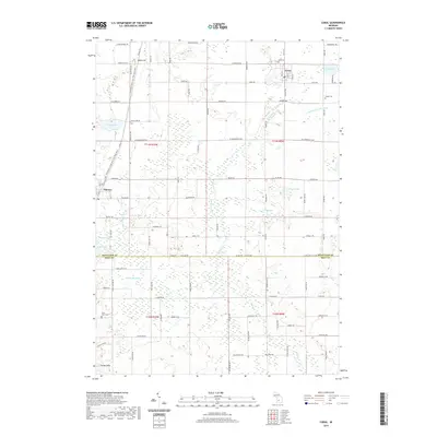 2019 Coral2019 Print · USGSThe rural border of Montcalm and Kent Counties comes into focus in this late twenty-first-century survey of the lakes and farmsteads. Researchers can trace local genealogy and land use across the village of Pierson and historic sites like Coral Cem and Coady Cem.
 - 2019 Map of Sand Lake, 2019 Print
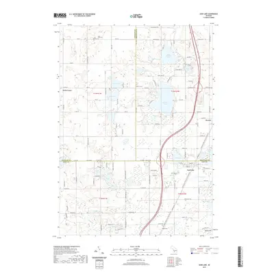 2019 Sand Lake2019 Print · USGSThe tri-county borderlands of West Michigan are captured here in 2019, showing the lake-rich landscape around Sand Lake and Pierson. Researchers can trace local genealogy through several burial grounds like Pierson Cem or locate rural landmarks like Wilds Field.
 - 2023 Map of Sand Lake, 2023 Print
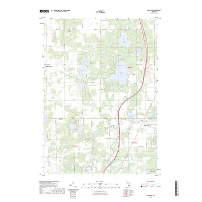 2023 Sand Lake2023 Print · USGSThe lake-dotted borderlands of Kent and Montcalm Counties appear in clear detail in this recent survey. Researchers can trace family history through several local burial grounds like Crandall Cem or locate seasonal properties near Whitefish Lake and Sand Lake.
 - 2023 Map of Coral, 2023 Print
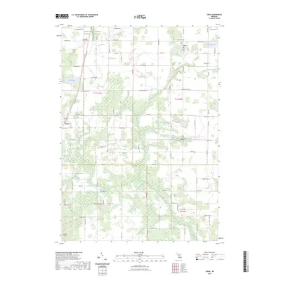 2023 Coral2023 Print · USGSMontcalm and Kent counties are shown in this 2023 survey as a landscape of rural townships and glacial lakes. Local historians can trace the footprint of Coral and Pierson, locate Saint Marys Cem, or follow the White Pine Trail.
End of results
Showing maps 1-20 of 20
Top cities near Pierson
- Plainfield Charter Township historical maps
- Cannon Township historical maps
- Alpine Township historical maps
- Greenville historical maps
- Rockford historical maps
- Sparta historical maps
See more
Frequently asked questions
- What are the different types of historical maps available for Pierson?
- What is the oldest map of Pierson?
- Where can I purchase historical maps of Pierson for my home or office?
- Where can I download high-res historical maps of Pierson?
- Are there historical topographic maps available for Pierson?
- Is there historical aerial imagery available for Pierson?
- Where are historical maps of Pierson sourced from?