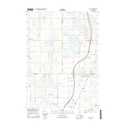
2014 Map of Sand Lake
USGS Topo · Published 2014About this map
Glacial lakes and small rural communities define this intersection of Newaygo, Montcalm, and Kent Counties. The village of Sand Lake serves as a primary hub in the south, while the community of Pierson and the crossroad settlement of Ensley Center anchor the northern reaches. The landscape is notably dense with water bodies of varying sizes, from the larger Whitefish Lake and Little Whitefish Lake to more secluded spots like Baptist Lake and No-Ko-Mos Lake.
Find a feature on this map
79 named features on this map. Tap any name to fly to it.
Don’t see what you’re looking for? This feature index may not catch every label — zoom into the map to look around manually.
Map Details
Editions of this 2014 Sand Lake Map
This is the sole edition of this map. No revisions or reprints were ever made.
Other maps of this area

1918 · Cedar Springs
USGS Topo · 1:62,500

1943 · Cedar Springs
USGS Topo · 1:62,500

1954 · Midland
USGS Topo · 1:250,000

1958 · Midland
USGS Topo · 1:250,000

1958 · Sand Lake
USGS Topo · 1:62,500

1959 · Midland
USGS Topo · 1:250,000

1959 · Howard City
USGS Topo · 1:62,500

1966 · Midland
USGS Topo · 1:250,000

1967 · Sparta
USGS Topo · 1:24,000

1967 · Cedar Springs
USGS Topo · 1:24,000