Old Maps of Pine Township, Michigan for Genealogy
Trace your family roots with 32 historic maps of Pine Township. These high-res maps reveal old neighborhoods, homesites, landmarks, and streets — helping you uncover where your ancestors lived and how the area evolved over time.
- Explore historic neighborhoods: Identify where your relatives may have lived in the 1800s or 1900s.
- Compare maps over time: Trace the changes in streets, buildings, and landmarks for multi-generational research.
- Perfect for genealogy & ancestry research: Used by family historians and researchers to map out lineage and migration.
These maps are an incredible resource for exploring your personal connection to Pine Township's past.
Pine Township, MI maps
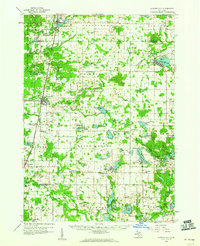
(32)- 1954 Map of Midland, 1967 Print
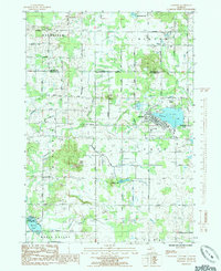
 1954 Midland1967 Print · USGSMid-Michigan at the peak of the post-war era shows a landscape balancing industrial growth in Midland with the deep timberlands of the Manistee National Forest. Researchers can trace the legacy of the timber and rail era along the Pennsylvania RR or find family roots in river towns like Chesaning and Big Rapids.4 unique versions available
 - 1958 Map of Midland
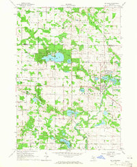
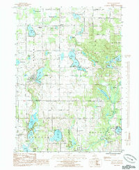
 1958 Midland1958 Print · USGSCentral Michigan in the late fifties is captured here during a period of transition for its university towns and industrial hubs. Genealogists and researchers can trace family lines through old rail-stop towns like Breckenridge and Chesaning or locate property near the Muskegon River and Prairie Farm.
 - 1959 Map of Midland
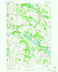
 1959 Midland1959 Print · USGSMid-century Michigan comes alive in this survey of the central Lower Peninsula, from the streets of Grand Rapids to the Houghton Lake timberlands. Genealogists and rail fans can trace the Ann Arbor RR and Chesapeake and Ohio RR through towns like Big Rapids and Mount Pleasant.
 - 1959 Map of Howard City, 1960 Print
 1959 Howard City1960 Print · USGSMontcalm and Mecosta Counties thrived as a patchwork of farming and rail-side villages in the late fifties. You can trace early family sites at Little Denmark, the James Ch Settlement, and numerous rural schools like Huggard Sch or Gaffield Sch.2 unique versions available
 - 1964 Map of Six Lakes, 1965 Print
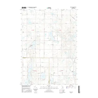
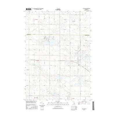
 1964 Six Lakes1965 Print · USGSThe mid-Michigan village of Six Lakes flourished as a lakeside rail hub in the mid-1960s. Genealogists and local historians can trace the foundations of Belvidere Ch, locate family plots at Evergreen Cem, and follow the Chesapeake and Ohio railroad corridor.2 unique versions available
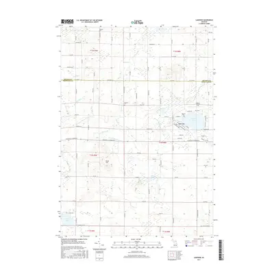
 - 1964 Map of Langston, 1965 Print
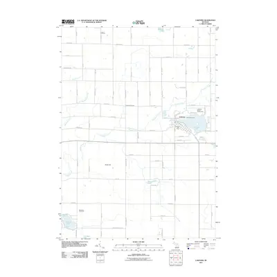
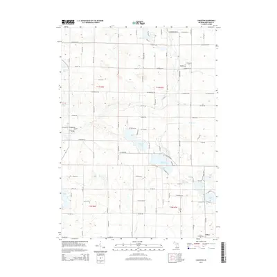
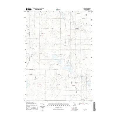
 1964 Langston1965 Print · USGSMontcalm County in the mid-1960s was a landscape of small crossroads settlements and numerous glacial lakes. Researchers can trace family sites near Entrican, the banks of the Flat River, or local landmarks like the Nevins Lake Ch and Entrican Cem.2 unique versions available
 - 1966 Map of Midland
 1966 Midland1966 Print · USGSCentral Michigan in the mid-1960s shows a landscape of growing manufacturing hubs and active resource extraction. Genealogists and historians can trace the rail corridors of the Grand Trunk Western or locate family-named landmarks near Oil wells and the Muskegon River.
 - 1976 Map of Howard City NE, 1979 Print
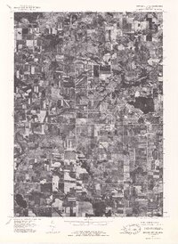 1976 Howard City NE1979 Print · USGSMontcalm County farmland and the village of Lakeview are captured during the mid-seventies in this detailed aerial orthophoto. Researchers can trace the development of the lakeshore around Tamarack Lake and follow the path of Tamarack Creek.
 - 1985 Map of Cedar Springs
 1985 Cedar Springs1985 Print · USGSThe northern reaches of the Grand Rapids metro area meet the forests of the Manistee during the mid-eighties. Genealogists and historians can trace the paths of the Grand Trunk Western RR through Sparta or locate rural landmarks near Cedar Springs and Rockford.
 - 1985 Map of Lakeview
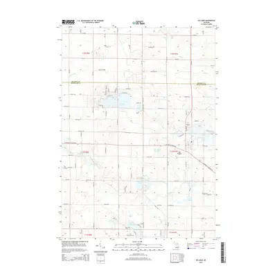
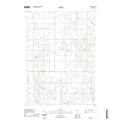
 1985 Lakeview1985 Print · USGSLakeview sits at the center of this mid-1980s Michigan landscape, where the town's life is shaped by the waters of Tamarack Lake. Researchers can trace old property lines and rural landmarks like Hinton Ch, Dickerson Cem, and the defunct Railroad Grade.
 - 1985 Map of Trufant
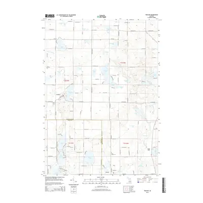
 1985 Trufant1985 Print · USGSThe area surrounding Trufant and Gowen is shown here in the mid-1980s, highlighting a landscape defined by its many lakes. Genealogists can trace local roots at Little Denmark Cem, Settlement Ch, and family-named water bodies like Paulson Lake.
 - 1986 Map of Cedar Springs, 1989 Print
 1986 Cedar Springs1989 Print · USGSThe northern suburbs of Grand Rapids meet the Manistee National Forest in the mid-1980s. Genealogists and historians can trace the rail-side growth of Howard City, Rockford, and Greenville along the C & O RR and Flat River.
 - 2011 Map of Six Lakes, 2011 Print
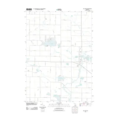 2011 Six Lakes2011 Print · USGSCovers Pine Township, including Hinton Township, Belvidere Township, and other nearby areas
 - 2011 Map of Trufant, 2011 Print
 2011 Trufant2011 Print · USGSCovers Pine Township, including Trufant, Turk Lake, and other nearby areas
 - 2011 Map of Lakeview, 2011 Print
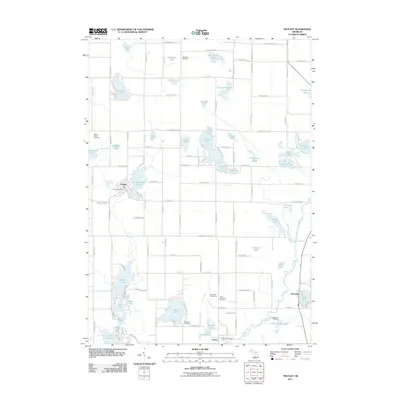
 2011 Lakeview2011 Print · USGSCovers Pine Township, including Lakeview, Winfield Township, and other nearby areas
 - 2011 Map of Langston, 2011 Print
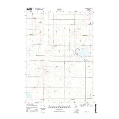
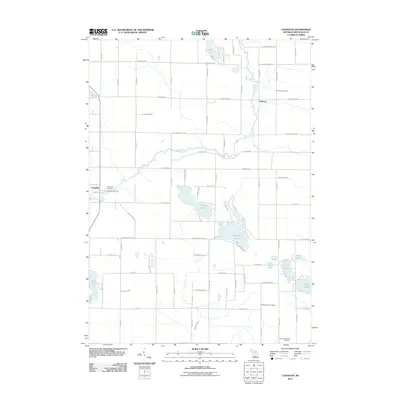 2011 Langston2011 Print · USGSCovers Pine Township, including Sidney, Entrican, and other nearby areas
 - 2014 Map of Trufant, 2014 Print
 2014 Trufant2014 Print · USGSCovers Pine Township, including Trufant, Turk Lake, and other nearby areas
 - 2014 Map of Six Lakes, 2014 Print
 2014 Six Lakes2014 Print · USGSCovers Pine Township, including Hinton Township, Belvidere Township, and other nearby areas
 - 2014 Map of Langston, 2014 Print
 2014 Langston2014 Print · USGSCovers Pine Township, including Sidney, Entrican, and other nearby areas
 - 2014 Map of Lakeview, 2014 Print
 2014 Lakeview2014 Print · USGSCovers Pine Township, including Lakeview, Winfield Township, and other nearby areas
 - 2017 Map of Langston, 2017 Print
 2017 Langston2017 Print · USGSCovers Pine Township, including Sidney, Entrican, and other nearby areas
 - 2017 Map of Trufant, 2017 Print
 2017 Trufant2017 Print · USGSCovers Pine Township, including Trufant, Turk Lake, and other nearby areas
 - 2017 Map of Lakeview, 2017 Print
 2017 Lakeview2017 Print · USGSCovers Pine Township, including Lakeview, Winfield Township, and other nearby areas
 - 2017 Map of Six Lakes, 2017 Print
 2017 Six Lakes2017 Print · USGSCovers Pine Township, including Hinton Township, Belvidere Township, and other nearby areas
 - 2019 Map of Trufant, 2019 Print
 2019 Trufant2019 Print · USGSCovers Pine Township, including Trufant, Turk Lake, and other nearby areas
Showing maps 1-25 of 32
Top cities near Pine Township
- Cannon Township historical maps
- Greenville historical maps
- Belding historical maps
- Sidney historical maps
- Howard City historical maps
- Stanton historical maps
See more
Top neighborhoods of Pine Township
Frequently asked questions
- What are the different types of historical maps available for Pine Township?
- What is the oldest map of Pine Township?
- Where can I purchase historical maps of Pine Township for my home or office?
- Where can I download high-res historical maps of Pine Township?
- Are there historical topographic maps available for Pine Township?
- Is there historical aerial imagery available for Pine Township?
- Where are historical maps of Pine Township sourced from?