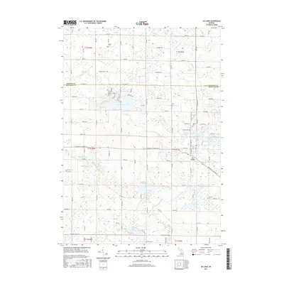
2017 Map of Six Lakes
USGS Topo · Published 2017About this map
The settlement of Six Lakes serves as the central hub of this northern Michigan landscape, situated at the junction where several glacial lakes cluster together. The map reveals a high density of water bodies, including the significant Townline Lake, Bass Lake, and Lake Montcalm, which define the local drainage patterns and recreational geography. These lakes are connected by a network of smaller streams such as Black Cr and Townline Cr, ultimately feeding into the Flat River.
Find a feature on this map
106 named features on this map. Tap any name to fly to it.
Don’t see what you’re looking for? This feature index may not catch every label — zoom into the map to look around manually.
Map Details
Editions of this 2017 Six Lakes Map
This is the sole edition of this map. No revisions or reprints were ever made.
Other maps of this area

1954 · Midland
USGS Topo · 1:250,000

1958 · Midland
USGS Topo · 1:250,000

1958 · Big Rapids
USGS Topo · 1:62,500

1959 · Midland
USGS Topo · 1:250,000

1959 · Howard City
USGS Topo · 1:62,500

1964 · Edmore
USGS Topo · 1:24,000

1964 · Six Lakes
USGS Topo · 1:24,000

1964 · Blanchard
USGS Topo · 1:24,000

1964 · Langston
USGS Topo · 1:24,000

1964 · Mecosta
USGS Topo · 1:24,000