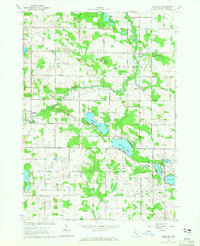
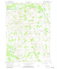
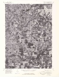
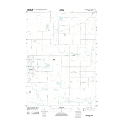
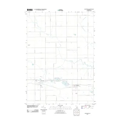
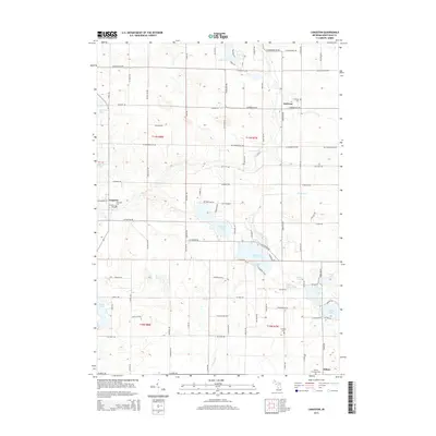
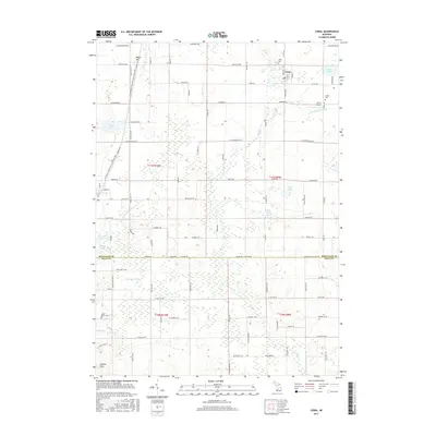
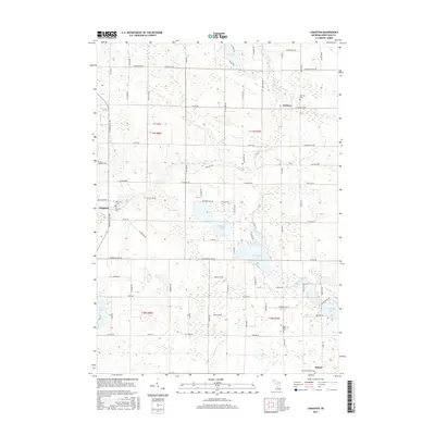
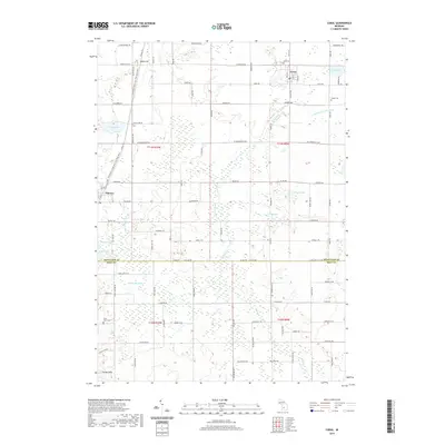
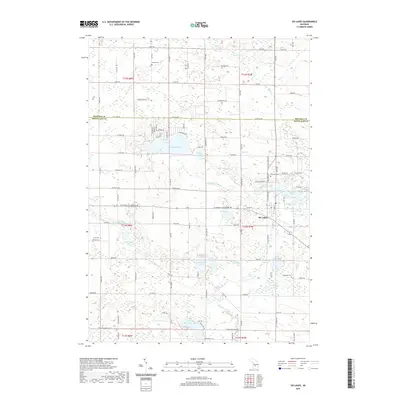
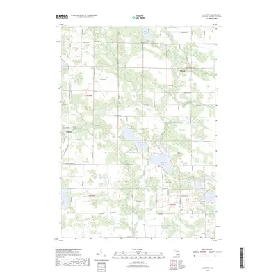
1964 Map of Langston
USGS Topo · Published 1965About this map
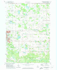
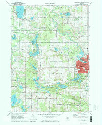
Langston stands near the center of this rural landscape, which is defined by a dense concentration of glacial lakes and small agrarian settlements. In the mid-1960s, the area supported several distinct communities including Entrican, Kendaville, and Cannonsville, linked by a grid of named roads like Briggs Road and Sidney Road. The topography is shaped by the Flat River and Dickerson Creek, surrounded by numerous water bodies such as Clifford Lake and Dickerson Lake. This period of Montcalm County history shows a community deeply rooted in its local institutions, evidenced by the distribution of country churches and burial grounds like the Nevins Lake Ch, Entrican Cem, and the North Sidney Ch Cem. Evidence of local industry appears in the form of scattered Gravel Pits and an isolated Oil Well, reflecting the extraction economy that operated alongside traditional farming.
Find a feature on this map
41 named features on this map. Tap any name to fly to it.
Don’t see what you’re looking for? This feature index may not catch every label — zoom into the map to look around manually.
Map Details
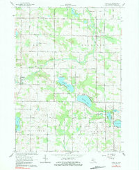
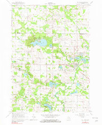
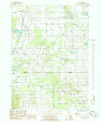
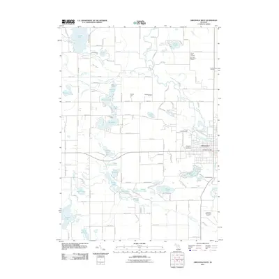
Editions of this 1964 Langston Map
2 editions found
Historical Maps of Sidney Through Time
44 maps found
1964 Langston
Montcalm County, MI
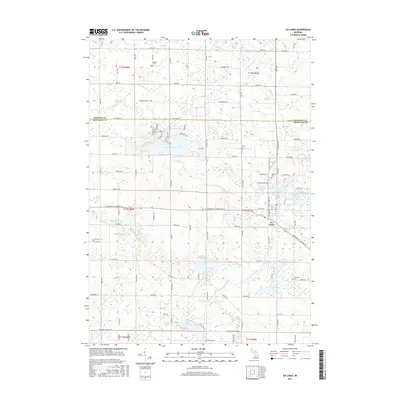
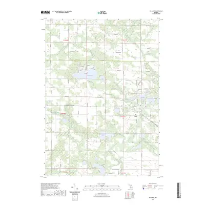
1964 Six Lakes
Montcalm County, MI
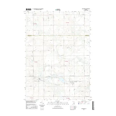
1965 Vestaburg
Montcalm County, MI
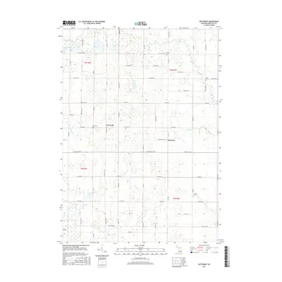
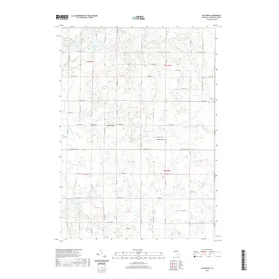
1967 Butternut
Montcalm County, MI
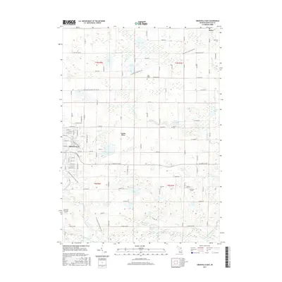
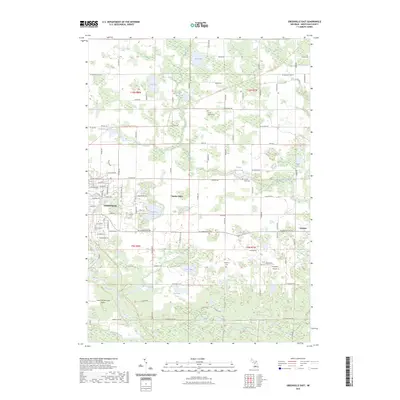
1972 Greenville East
Montcalm County, MI
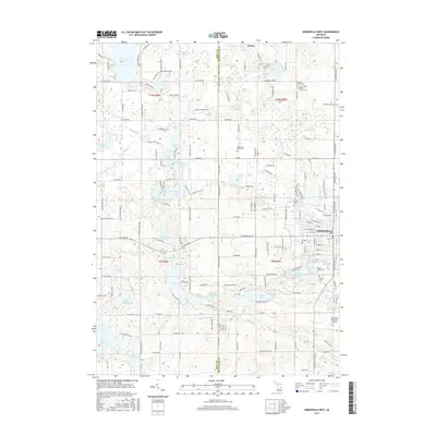
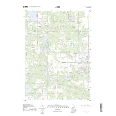
1972 Greenville West
Montcalm County, MI
1976 Howard City NE
Montcalm County, MI
1976 Howard City NW
Montcalm County, MI
1985 Coral
Montcalm County, MI
2011 Butternut
Montcalm County, MI
2011 Coral
Montcalm County, MI
2011 Greenville East
Montcalm County, MI
2011 Greenville West
Montcalm County, MI
2011 Langston
Montcalm County, MI
2011 Six Lakes
Montcalm County, MI
2011 Vestaburg
Montcalm County, MI
2014 Butternut
Montcalm County, MI
2014 Coral
Montcalm County, MI
2014 Greenville East
Montcalm County, MI
2014 Greenville West
Montcalm County, MI
2014 Langston
Montcalm County, MI
2014 Six Lakes
Montcalm County, MI
2014 Vestaburg
Montcalm County, MI
2017 Butternut
Montcalm County, MI
2017 Coral
Montcalm County, MI
2017 Greenville East
Montcalm County, MI
2017 Greenville West
Montcalm County, MI
2017 Langston
Montcalm County, MI
2017 Six Lakes
Montcalm County, MI
2017 Vestaburg
Montcalm County, MI
2019 Butternut
Montcalm County, MI
2019 Coral
Montcalm County, MI
2019 Greenville East
Montcalm County, MI
2019 Greenville West
Montcalm County, MI
2019 Langston
Montcalm County, MI
2019 Six Lakes
Montcalm County, MI
2019 Vestaburg
Montcalm County, MI
2023 Butternut
Montcalm County, MI
2023 Coral
Montcalm County, MI
2023 Greenville East
Montcalm County, MI
2023 Greenville West
Montcalm County, MI
2023 Langston
Montcalm County, MI
2023 Six Lakes
Montcalm County, MI
2023 Vestaburg
Montcalm County, MI
Featured Locations
- Douglass Township, MI
- Pine Township, MI
- Sidney Township, MI
- Sidney, Sidney Township
- Entrican, Douglass Township