Old Maps of Laketon Township, Michigan for Hiking & Exploration
Hike through history with 27 historic maps of Laketon Township. Explore old trails, ghost towns, and forgotten backroads — perfect for outdoor adventurers and local explorers.
- Rediscover forgotten places: Map out old mining camps, roads, and footpaths that no longer exist on modern maps.
- Layer with modern tools: Combine with LiDAR or satellite views to plan hikes through historical terrain.
- Made for exploration: Popular among hikers, overlanders, and local history lovers.
Use these maps to find adventure and explore the hidden past of Laketon Township.
Laketon Township, MI maps
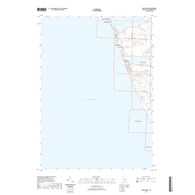
(27)- 1929 Map of Montague
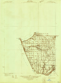 1929 Montague1929 Print · USGSThe Muskegon County shoreline flourished as a premier Great Lakes resort destination in the late twenties. Genealogists and local researchers can locate numerous rural schoolhouses, the White River Light, and the old Swedish Mission meeting house.
 - 1930 Map of Lake Harbor
 1930 Lake Harbor1930 Print · USGSThe industrial and recreational shoreline of Lake Michigan comes alive in this pre-war survey of the Muskegon region. Genealogists can trace family roots through specific locations like Indian Village, Port Sherman, and the Maple Grove Sch.
 - 1936 Map of Lake Harbor
 1936 Lake Harbor1936 Print · USGSCoastal Muskegon and its industrial neighbors are captured in the mid-1930s as the region transitioned into a major Lake Michigan port. Genealogists and historians can trace neighborhood growth through landmarks like Indian Village, Maple Grove Sch, and the rail lines of the P M RY.3 unique versions available
 - 1954 Map of Milwaukee, 1967 Print
 1954 Milwaukee1967 Print · USGSCoastal life and maritime commerce across Lake Michigan are seen here during the mid-fifties, bridging Wisconsin's industrial hubs and Michigan's timberlands. Genealogists and historians can trace the rail lines of the Grand Trunk Western and find long-established ports like Ludington, Port Washington, and Muskegon.3 unique versions available
 - 1958 Map of Milwaukee
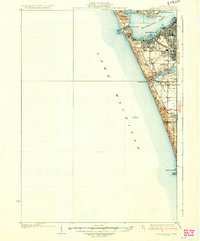
 1958 Milwaukee1958 Print · USGSThe shorelines of Lake Michigan in the late fifties reveal a landscape of bustling ferry ports and growing industrial suburbs. Genealogists and historians can trace rail networks like the Chesapeake & Ohio and locate landmarks such as Little Sable Point and Holy Cross Church.
 - 1959 Map of Montague, 1960 Print
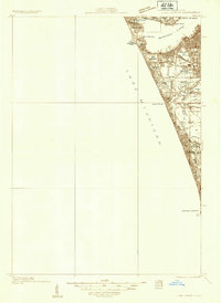
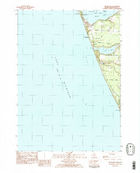
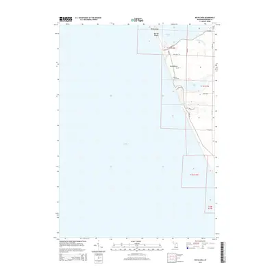
 1959 Montague1960 Print · USGSThe Lake Michigan shoreline and White Lake harbor are shown here in the late fifties during a period of significant coastal growth. Genealogists and historians can locate numerous rural landmarks like Claybanks Church, Flower Creek School, and the White River Lighthouse.2 unique versions available
 - 1972 Map of Muskegon West, 1975 Print
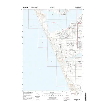
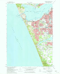 1972 Muskegon West1975 Print · USGSCoastal Michigan in the early seventies shows a bustling port city and growing suburbs nestled along the Lake Michigan shoreline. Researchers can trace neighborhood development through Lakeside Cemetery, Central High School, and the Muskegon County Airport.2 unique versions available
 - 1976 Map of Montague SW
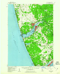
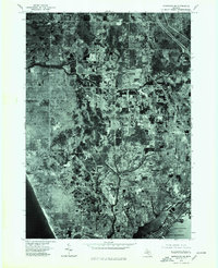
 1976 Montague SW1976 Print · USGSAlong the Muskegon County coast in the mid-seventies, this aerial orthophoto captures the meeting of the Great Lakes and inland waters. Researchers can trace the development of Wabaningo and the mouth of White Lake against the expanse of Lake Michigan.
 - 1976 Map of Montague SE, 1979 Print
 1976 Montague SE1979 Print · USGSThe Michigan coast in the mid-1970s shows a landscape of growing residential pockets and established woodlots. Trace the development of North Muskegon and Lakewood alongside the shores of Muskegon Lake and Lake Michigan.
 - 1982 Map of Muskegon
 1982 Muskegon1982 Print · USGSThe West Michigan shoreline during the early eighties shows a bustling industrial and maritime landscape centered on Muskegon Lake and Grand Haven. Researchers can trace rail history along the Grand Trunk Western or locate local landmarks like Oakwood Cem and Cloverville.
 - 1983 Map of Dalton
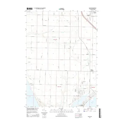
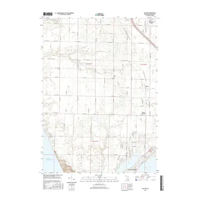
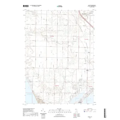
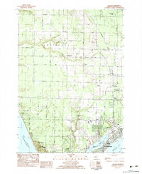 1983 Dalton1983 Print · USGSNorth Muskegon and its northern lakefront communities are captured in the early eighties as the region balanced industrial utility with coastal recreation. Genealogists can locate family landmarks like Laketon Cem, McMillan Sch, and the Fruitland Covenant Ch.
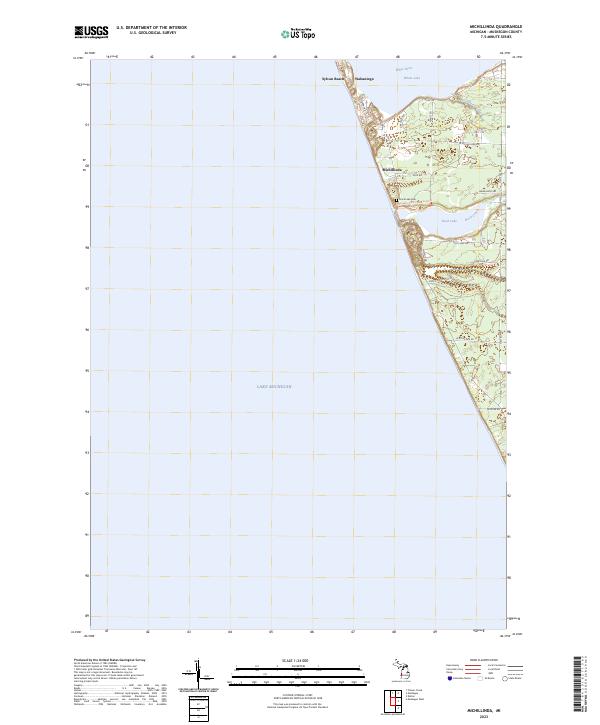
 - 1983 Map of Michillinda
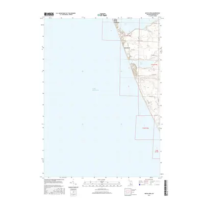
 1983 Michillinda1983 Print · USGSThe Lake Michigan coast south of White Lake is captured here in the early eighties, showcasing a landscape of resort communities and dune-side roads. Researchers can trace the residential layouts of Wabaningo and Sylvan Beach or locate local landmarks like Duck Lake Cem and Pioneer County Park.2 unique versions available
 - 2011 Map of Dalton, 2011 Print
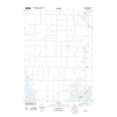 2011 Dalton2011 Print · USGSCovers Laketon Township, including Muskegon, Dalton, and other nearby areas
 - 2011 Map of Muskegon West, 2011 Print
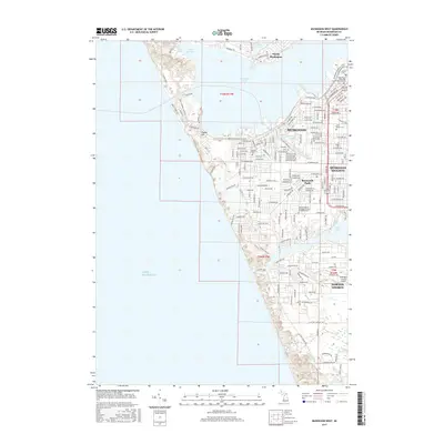
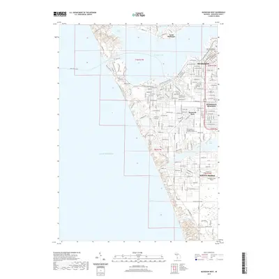
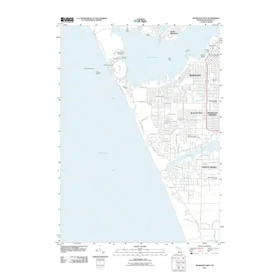 2011 Muskegon West2011 Print · USGSCovers Laketon Township, including Muskegon, Norton Shores, and other nearby areas
 - 2011 Map of Michillinda, 2011 Print
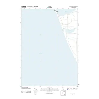 2011 Michillinda2011 Print · USGSCovers Laketon Township, including Wabaningo, White River Township, and other nearby areas
 - 2014 Map of Michillinda, 2014 Print
 2014 Michillinda2014 Print · USGSCovers Laketon Township, including Wabaningo, White River Township, and other nearby areas
 - 2014 Map of Dalton, 2014 Print
 2014 Dalton2014 Print · USGSCovers Laketon Township, including Muskegon, Dalton, and other nearby areas
 - 2014 Map of Muskegon West, 2014 Print
 2014 Muskegon West2014 Print · USGSCovers Laketon Township, including Muskegon, Norton Shores, and other nearby areas
 - 2017 Map of Michillinda, 2017 Print
 2017 Michillinda2017 Print · USGSCovers Laketon Township, including Wabaningo, White River Township, and other nearby areas
 - 2017 Map of Dalton, 2017 Print
 2017 Dalton2017 Print · USGSCovers Laketon Township, including Muskegon, Dalton, and other nearby areas
 - 2017 Map of Muskegon West, 2017 Print
 2017 Muskegon West2017 Print · USGSCovers Laketon Township, including Muskegon, Norton Shores, and other nearby areas
 - 2019 Map of Dalton, 2019 Print
 2019 Dalton2019 Print · USGSCovers Laketon Township, including Muskegon, Dalton, and other nearby areas
 - 2019 Map of Muskegon West, 2019 Print
 2019 Muskegon West2019 Print · USGSCovers Laketon Township, including Muskegon, Norton Shores, and other nearby areas
 - 2019 Map of Michillinda, 2019 Print
 2019 Michillinda2019 Print · USGSCovers Laketon Township, including Wabaningo, White River Township, and other nearby areas
 - 2023 Map of Michillinda, 2023 Print
 2023 Michillinda2023 Print · USGSThe Lake Michigan shoreline of Muskegon County comes into focus in this contemporary survey of these coastal communities. Genealogists and local historians can trace the lakeside layout of Michillinda, the trails of Duck Lake State Park, and the grounds of Duck Lake Cem.
Showing maps 1-25 of 27
Top cities near Laketon Township
- Muskegon historical maps
- Norton Shores historical maps
- Spring Lake Township historical maps
- Muskegon Heights historical maps
- Grand Haven historical maps
- Dalton historical maps
See more
Frequently asked questions
- What are the different types of historical maps available for Laketon Township?
- What is the oldest map of Laketon Township?
- Where can I purchase historical maps of Laketon Township for my home or office?
- Where can I download high-res historical maps of Laketon Township?
- Are there historical topographic maps available for Laketon Township?
- Is there historical aerial imagery available for Laketon Township?
- Where are historical maps of Laketon Township sourced from?