2000s (21st Century) Maps of Newaygo County, Michigan
Explore 125 historic maps of Newaygo County from the 2000s (21st Century). These maps offer a rare glimpse into what life looked like during the 2000s — showing old roads, neighborhoods, homes, and landmarks that have changed or disappeared over time.
Whether you're researching your family's past, planning a metal detecting trip, or studying how Newaygo County's landscape evolved across the 2000s, these high-resolution maps are a powerful tool for exploring the history of this region.
- Focus on a specific era: All maps on this page are from the 2000s, giving you a focused view of this time period.
- See what’s changed: Compare century-old streets, trails, and buildings to today's modern landscape using overlays and satellite layers.
- Research with precision: Use these maps for genealogy, historical research, land use analysis, or educational projects.
- View, download, or print: Maps are fully viewable online in high resolution, and can be downloaded or printed for your own records.
Start exploring Newaygo County's history through authentic maps from the 2000s. This is your window into the past.
Newaygo County, MI maps
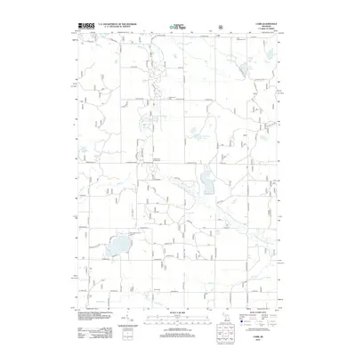
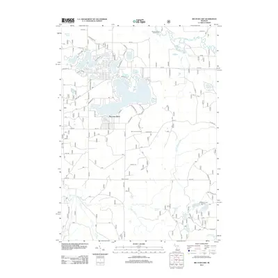
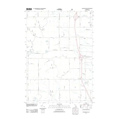
(125)- 2011 Map of Fremont, 2011 Print
 2011 Fremont2011 Print · USGSCovers Newaygo County, including Fremont, Ashland Township, and other nearby areas
 - 2011 Map of Reed City South, 2011 Print
 2011 Reed City South2011 Print · USGSCovers Newaygo County, including Reed City, Hawkins, and other nearby areas
 - 2011 Map of Bridgeton, 2011 Print
 2011 Bridgeton2011 Print · USGSCovers Newaygo County, including Bridgeton, Ashland Township, and other nearby areas
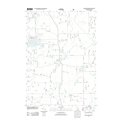
 - 2011 Map of Sand Lake, 2011 Print
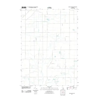
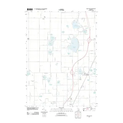 2011 Sand Lake2011 Print · USGSCovers Newaygo County, including Sand Lake, Pierson, and other nearby areas
 - 2011 Map of Sand Lake SW, 2011 Print
 2011 Sand Lake SW2011 Print · USGSCovers Newaygo County, including Grant Township, Ensley Township, and other nearby areas
 - 2011 Map of Grant, 2011 Print
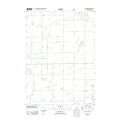
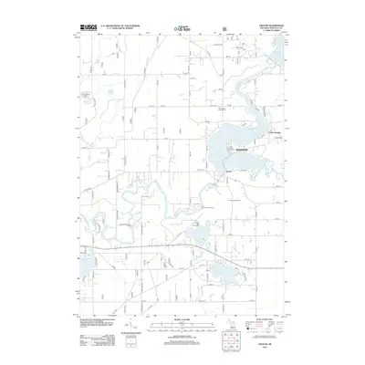
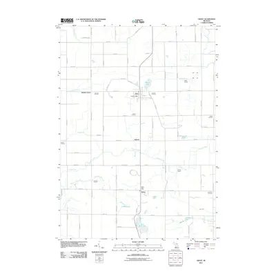 2011 Grant2011 Print · USGSCovers Newaygo County, including Ashland, Grant, and other nearby areas
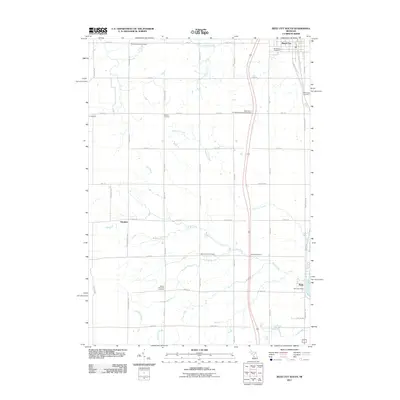
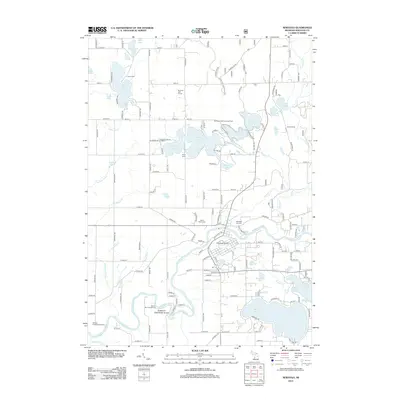
 - 2012 Map of Hesperia, 2012 Print
 2012 Hesperia2012 Print · USGSCovers Newaygo County, including Hesperia, Newfield Township, and other nearby areas
 - 2012 Map of Whipple Lake, 2012 Print
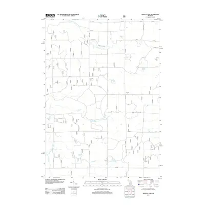 2012 Whipple Lake2012 Print · USGSCovers Newaygo County, including Yates Township, Home Township, and other nearby areas
 - 2012 Map of Carr, 2012 Print
 2012 Carr2012 Print · USGSCovers Newaygo County, including Troy Township, Colfax Township, and other nearby areas
 - 2012 Map of Big Prairie, 2012 Print
 2012 Big Prairie2012 Print · USGSCovers Newaygo County, including Big Prairie, Goodwell Township, and other nearby areas
 - 2012 Map of Walkup Lake, 2012 Print
 2012 Walkup Lake2012 Print · USGSCovers Newaygo County, including Denver Township, Troy Township, and other nearby areas
 - 2012 Map of Tift Corner, 2012 Print
 2012 Tift Corner2012 Print · USGSCovers Newaygo County, including Croton Township, Reynolds Township, and other nearby areas
 - 2012 Map of Big Star Lake, 2012 Print
 2012 Big Star Lake2012 Print · USGSCovers Newaygo County, including Troy Township, Pine Grove Beach, and other nearby areas
 - 2012 Map of Dayton Center, 2012 Print
 2012 Dayton Center2012 Print · USGSCovers Newaygo County, including Denver Township, Huber, and other nearby areas
 - 2012 Map of Walkerville East, 2012 Print
 2012 Walkerville East2012 Print · USGSCovers Newaygo County, including Colfax, Troy, and other nearby areas
 - 2012 Map of Woodville, 2012 Print
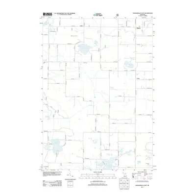
 2012 Woodville2012 Print · USGSCovers Newaygo County, including Goodwell Township, Norwich Township, and other nearby areas
 - 2012 Map of Woodville NE, 2012 Print
 2012 Woodville NE2012 Print · USGSCovers Newaygo County, including Big Rapids, Goodwell Township, and other nearby areas
 - 2012 Map of Big Bend, 2012 Print
 2012 Big Bend2012 Print · USGSCovers Newaygo County, including Goodwell Township, Big Prairie Township, and other nearby areas
 - 2012 Map of Wolf Lake, 2012 Print
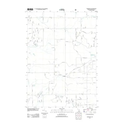
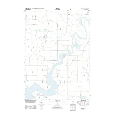
 2012 Wolf Lake2012 Print · USGSCovers Newaygo County, including Wolf Lake, Egelston Township, and other nearby areas
 - 2012 Map of Holton, 2012 Print
 2012 Holton2012 Print · USGSCovers Newaygo County, including Holton, Greenwood Township, and other nearby areas
 - 2012 Map of Croton, 2012 Print
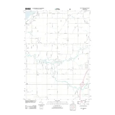
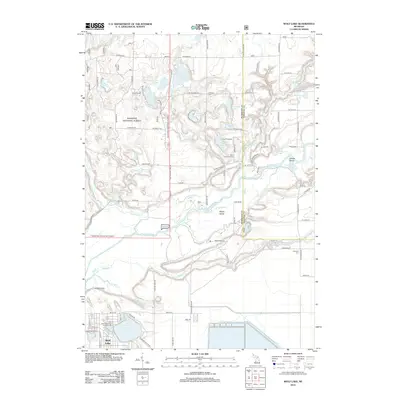
 2012 Croton2012 Print · USGSCovers Newaygo County, including Croton, Croton Township, and other nearby areas
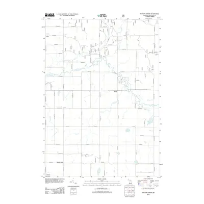
 - 2012 Map of Newaygo, 2012 Print
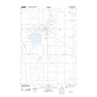
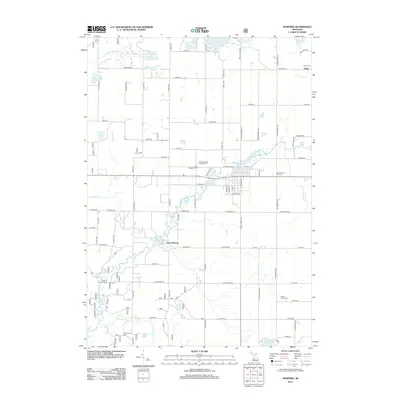
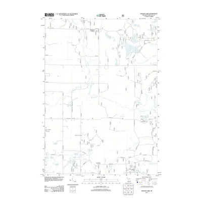
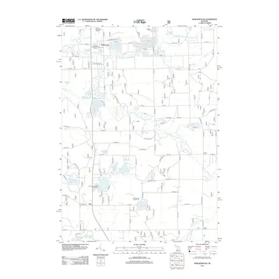
 2012 Newaygo2012 Print · USGSCovers Newaygo County, including Newaygo, Grant Township, and other nearby areas
 - 2012 Map of Marlborough, 2012 Print
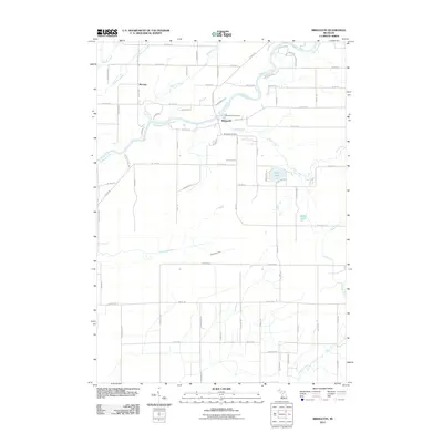
 2012 Marlborough2012 Print · USGSCovers Newaygo County, including Lilley, Marlborough, and other nearby areas
 - 2012 Map of Woodland Park, 2012 Print
 2012 Woodland Park2012 Print · USGSCovers Newaygo County, including Monroe Township, Wilcox Township, and other nearby areas
 - 2012 Map of White Cloud, 2012 Print
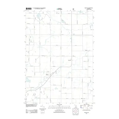
 2012 White Cloud2012 Print · USGSCovers Newaygo County, including White Cloud, Wilcox Township, and other nearby areas
Showing maps 1-25 of 125
Top cities of Newaygo County
Frequently asked questions
- What are the different types of historical maps available for Newaygo County?
- What is the oldest map of Newaygo County?
- Where can I purchase historical maps of Newaygo County for my home or office?
- Where can I download high-res historical maps of Newaygo County?
- Are there historical topographic maps available for Newaygo County?
- Is there historical aerial imagery available for Newaygo County?
- Where are historical maps of Newaygo County sourced from?