2000s (21st Century) Maps of Pontiac, Michigan
Explore 20 historic maps of Pontiac from the 2000s (21st Century). These maps offer a rare glimpse into what life looked like during the 2000s — showing old roads, neighborhoods, homes, and landmarks that have changed or disappeared over time.
Whether you're researching your family's past, planning a metal detecting trip, or studying how Pontiac's landscape evolved across the 2000s, these high-resolution maps are a powerful tool for exploring the history of this region.
- Focus on a specific era: All maps on this page are from the 2000s, giving you a focused view of this time period.
- See what’s changed: Compare century-old streets, trails, and buildings to today's modern landscape using overlays and satellite layers.
- Research with precision: Use these maps for genealogy, historical research, land use analysis, or educational projects.
- View, download, or print: Maps are fully viewable online in high resolution, and can be downloaded or printed for your own records.
Start exploring Pontiac's history through authentic maps from the 2000s. This is your window into the past.
Pontiac, MI maps
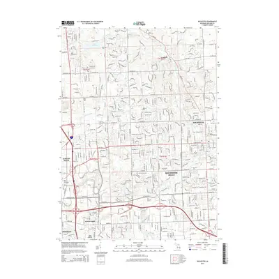
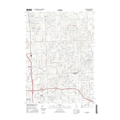
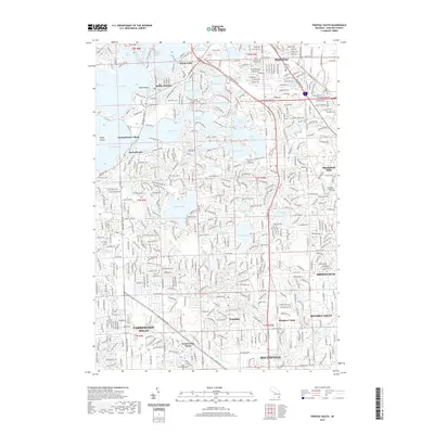
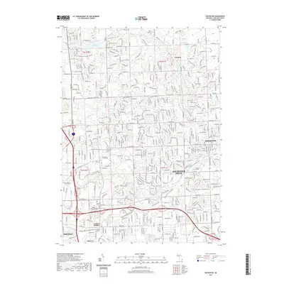
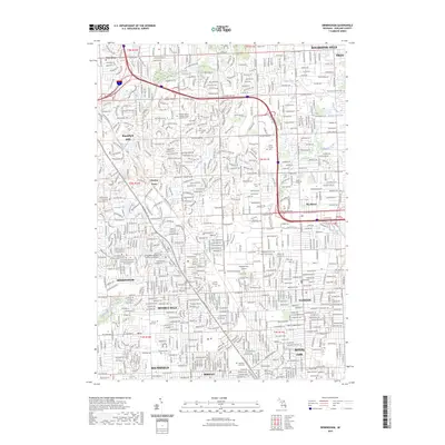
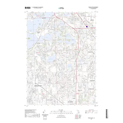
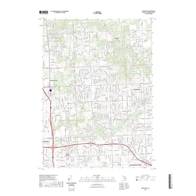
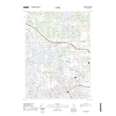
(20)- 2011 Map of Rochester, 2011 Print
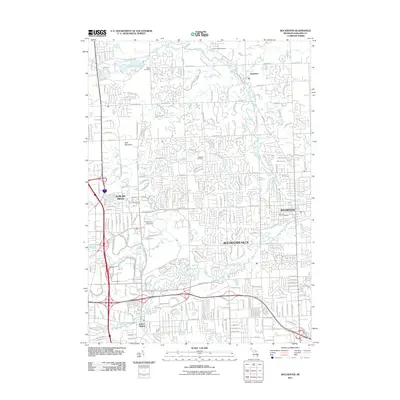 2011 Rochester2011 Print · USGSCovers Pontiac, including Rochester Hills, Orion Charter Township, and other nearby areas
 - 2011 Map of Pontiac North, 2011 Print
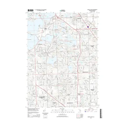
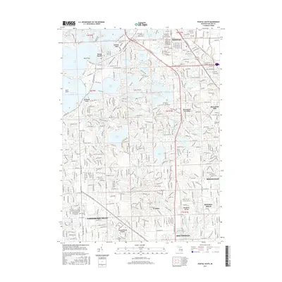
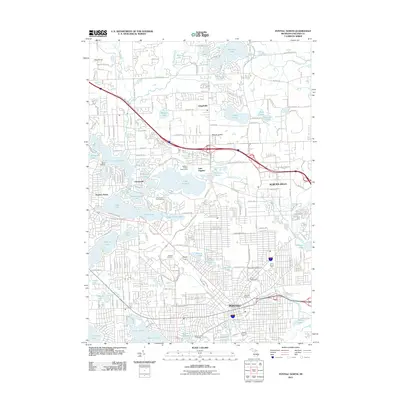 2011 Pontiac North2011 Print · USGSCovers Pontiac, including Waterford Township, Orion Charter Township, and other nearby areas
 - 2011 Map of Pontiac South, 2011 Print
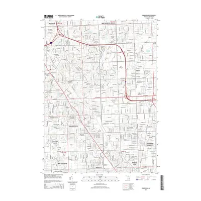
 2011 Pontiac South2011 Print · USGSCovers Pontiac, including Farmington Hills, Southfield, and other nearby areas
 - 2011 Map of Birmingham, 2011 Print
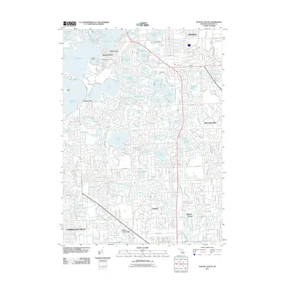
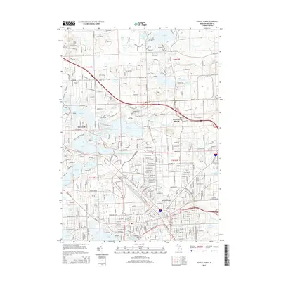
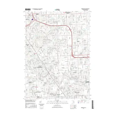
 2011 Birmingham2011 Print · USGSCovers Pontiac, including Troy, Rochester Hills, and other nearby areas
 - 2014 Map of Birmingham, 2014 Print
 2014 Birmingham2014 Print · USGSCovers Pontiac, including Troy, Rochester Hills, and other nearby areas
 - 2014 Map of Rochester, 2014 Print
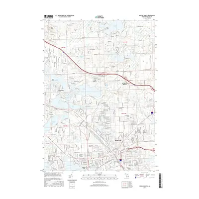
 2014 Rochester2014 Print · USGSCovers Pontiac, including Rochester Hills, Orion Charter Township, and other nearby areas
 - 2014 Map of Pontiac South, 2014 Print
 2014 Pontiac South2014 Print · USGSCovers Pontiac, including Farmington Hills, Southfield, and other nearby areas
 - 2014 Map of Pontiac North, 2014 Print
 2014 Pontiac North2014 Print · USGSCovers Pontiac, including Waterford Township, Orion Charter Township, and other nearby areas
 - 2017 Map of Rochester, 2017 Print
 2017 Rochester2017 Print · USGSCovers Pontiac, including Rochester Hills, Orion Charter Township, and other nearby areas
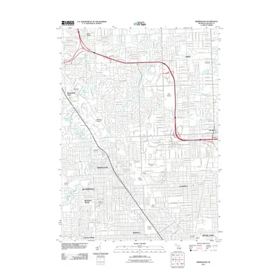
 - 2017 Map of Birmingham, 2017 Print
 2017 Birmingham2017 Print · USGSCovers Pontiac, including Troy, Rochester Hills, and other nearby areas
 - 2017 Map of Pontiac North, 2017 Print
 2017 Pontiac North2017 Print · USGSCovers Pontiac, including Waterford Township, Orion Charter Township, and other nearby areas
 - 2017 Map of Pontiac South, 2017 Print
 2017 Pontiac South2017 Print · USGSCovers Pontiac, including Farmington Hills, Southfield, and other nearby areas
 - 2019 Map of Pontiac South, 2019 Print
 2019 Pontiac South2019 Print · USGSCovers Pontiac, including Farmington Hills, Southfield, and other nearby areas
 - 2019 Map of Pontiac North, 2019 Print
 2019 Pontiac North2019 Print · USGSCovers Pontiac, including Waterford Township, Orion Charter Township, and other nearby areas
 - 2019 Map of Rochester, 2019 Print
 2019 Rochester2019 Print · USGSCovers Pontiac, including Rochester Hills, Orion Charter Township, and other nearby areas
 - 2019 Map of Birmingham, 2019 Print
 2019 Birmingham2019 Print · USGSCovers Pontiac, including Troy, Rochester Hills, and other nearby areas
 - 2023 Map of Birmingham, 2023 Print
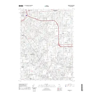
 2023 Birmingham2023 Print · USGSThe Detroit suburbs of Oakland County are captured here in the 2020s, showcasing a mature landscape of residential grids and institutional grounds. Genealogists and local historians can map numerous local landmarks, from the Oakland/Troy Airport to the historic Greenwood Cem and White Chapel Cem.
 - 2023 Map of Pontiac South, 2023 Print
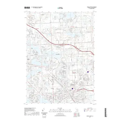
 2023 Pontiac South2023 Print · USGSOakland County's lake country is captured here in the early 2020s, showing the dense suburban development around PONTIAC and BIRMINGHAM. Researchers can trace local history through sites like the Pine Lake Cem, the Franklin Cem, and the iconic Cranbrook Academy of Art.
 - 2023 Map of Rochester, 2023 Print
 2023 Rochester2023 Print · USGSOakland County in the early twenty-first century reveals a landscape of rapid suburban growth anchored by historic river valleys and academic centers. Genealogists and local historians can trace legacy sites like Mount Avon Cem, Oakland University, and the small settlement of Goodison.
 - 2023 Map of Pontiac North, 2023 Print
 2023 Pontiac North2023 Print · USGSThe northern reaches of Oakland County show a transition from urban centers to lakefront communities in the early 2020s. Researchers can trace local history through sites like Oak Hill Cemetery and the Oakland County Courthouse Tower near Lake Angelus.
End of results
Showing maps 1-20 of 20
Top cities near Pontiac
- Detroit historical maps
- Sterling Heights historical maps
- Warren historical maps
- Livonia historical maps
- Troy historical maps
- Farmington Hills historical maps
See more
Frequently asked questions
- What are the different types of historical maps available for Pontiac?
- What is the oldest map of Pontiac?
- Where can I purchase historical maps of Pontiac for my home or office?
- Where can I download high-res historical maps of Pontiac?
- Are there historical topographic maps available for Pontiac?
- Is there historical aerial imagery available for Pontiac?
- Where are historical maps of Pontiac sourced from?