Old Maps of Beverly Hills, Southfield Township for Genealogy
Trace your family roots with 26 historic maps of Beverly Hills. These high-res maps reveal old neighborhoods, homesites, landmarks, and streets — helping you uncover where your ancestors lived and how the area evolved over time.
- Explore historic neighborhoods: Identify where your relatives may have lived in the 1800s or 1900s.
- Compare maps over time: Trace the changes in streets, buildings, and landmarks for multi-generational research.
- Perfect for genealogy & ancestry research: Used by family historians and researchers to map out lineage and migration.
These maps are an incredible resource for exploring your personal connection to Beverly Hills's past.
Beverly Hills, Southfield Township maps
(26)- 1907 Map of Pontiac
 1907 Pontiac1907 Print · USGSOakland County is captured here at a pivotal moment when early electric railways and the Grand Trunk line first connected these lake communities. Trace historic institutional landmarks like the Asylum and Military Academy alongside the Bigelow Mill.5 unique versions available
 - 1908 Map of Rochester
 1908 Rochester1908 Print · USGSSoutheast Michigan at the turn of the century shows a bustling landscape of early electric railways and rural township life. Genealogists and local historians can trace the foundations of Rochester, Birmingham, and Utica, alongside vanished landmarks like Snell School and the Stone Shop.3 unique versions available
 - 1936 Map of Birmingham
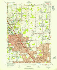
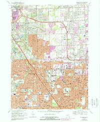
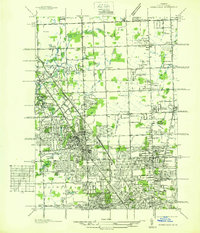 1936 Birmingham1936 Print · USGSOakland County was undergoing a massive suburban transformation in the mid-thirties as the Detroit metropolitan area expanded northward. Trace the early development of Birmingham and Royal Oak, and find vanished landmarks like Charing Cross Sta or the Log Cabin High Sch.
 - 1936 Map of Pontiac South
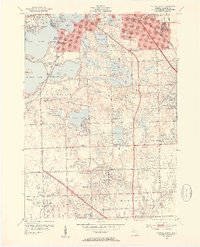
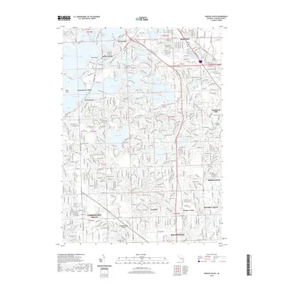
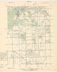 1936 Pontiac South1936 Print · USGSOakland County was rapidly evolving into a premier suburban and recreational district in the mid-1930s. Genealogists and local historians can trace legacy estates and institutions like St Marys College and Polish Seminary, Cranbrook Sch, and the Pine Lake Cem.2 unique versions available
 - 1943 Map of Pontiac South
 1943 Pontiac South1943 Print · USGSOakland County during the early 1940s shows a landscape of growing suburbs and extensive lakefront estates. Genealogists and historians can locate old landmarks like the St Marys College and Polish Seminary, Franklin Cem, and the German Sch.2 unique versions available
 - 1945 Map of Birmingham
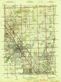 1945 Birmingham1945 Print · USGSOakland County was undergoing a massive suburban transformation in the years following the war. Researchers can trace the early residential grids of Birmingham and Berkley or locate local landmarks like the Log Cabin Sch and St Hugo Ch.
 - 1952 Map of Birmingham, 1954 Print
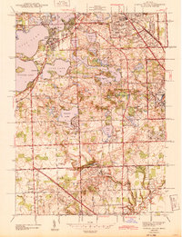
 1952 Birmingham1954 Print · USGSThe northern Detroit suburbs are shown here during their early 1950s growth, centering on the rail and road corridors of Oakland County. Genealogists can trace family landmarks like the Leonard Sch, Log Cabin Sch, and the Shrine of the Little Flower.
 - 1952 Map of Pontiac South, 1954 Print
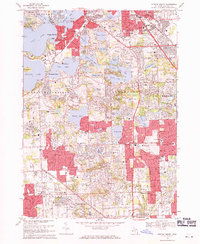
 1952 Pontiac South1954 Print · USGSOakland County's lake country in the early fifties shows a transition from rural estates to suburban neighborhoods. Genealogists and historians can trace local roots through sites like Franklin Cem, Vaughn Cem, and the Cranbrook Sch campus.2 unique versions available
 - 1954 Map of Detroit
 1954 Detroit1954 Print · USGSThe Detroit metro and its Ontario neighbors are shown at the height of the mid-century industrial era, just as the suburbs were rapidly expanding. Researchers can trace the massive rail networks of the Wabash Railroad or locate landmarks like Grosse Ile and Selfridge Air Force Base.
 - 1961 Map of Detroit, 1973 Print
 1961 Detroit1973 Print · USGSThe international border between Michigan and Ontario was a bustling industrial corridor in the early sixties. Researchers can trace the transit networks and riverfront infrastructure connecting Detroit to Windsor via the Detroit-Windsor Tunnel and major air hubs like Willow Run Airport.2 unique versions available
 - 1965 Map of Detroit
 1965 Detroit1965 Print · USGSThe industrial corridor between Michigan and Ontario is captured here at mid-century, showing the dense rail and river networks of the Great Lakes. Local historians can trace the paths of the Grand Trunk Western RR and locate key landmarks like Selfridge Air Force Base and Grosse Ile.
 - 1968 Map of Pontiac South, 1971 Print
 1968 Pontiac South1971 Print · USGSOakland County's lake district and the growing suburbs of Detroit are captured here in the late sixties. Trace family roots and local development near Cass Lake, Franklin, and the grounds of Cranbrook Sch.3 unique versions available
 - 1968 Map of Birmingham, 1971 Print
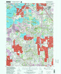
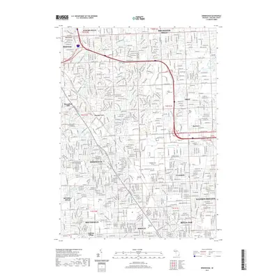
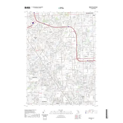
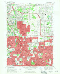 1968 Birmingham1971 Print · USGSOakland County's suburban expansion is in full view during the late sixties as residential neighborhoods fill the gaps between historic village centers. Genealogists and local historians can trace the footprint of Birmingham and Royal Oak, locating old landmarks like Berz Airport and White Chapel Cemetery.4 unique versions available
 - 1981 Map of Birmingham, 1989 Print
 1981 Birmingham1989 Print · USGSOakland County's suburban growth is in full swing in the early eighties as residential expansion reaches into the Rouge River valley. Genealogists and local historians can locate legacy landmarks like White Chapel Cemetery, Greenwood Cem, and the iconic Shrine of the Little Flower.
 - 1985 Map of Pontiac
 1985 Pontiac1985 Print · USGSSoutheast Michigan in the mid-1980s shows a landscape of growing suburban corridors and expansive public parklands. Genealogists and local historians can trace the footprint of rail lines like the Grand Trunk Western or locate family sites near Oakwood Cem and White Chapel Cem.2 unique versions available
 - 1997 Map of Pontiac South, 1999 Print
 1997 Pontiac South1999 Print · USGSOakland County's lake country and suburban corridors are captured in the late nineties as the region matured into a major residential and institutional hub. Researchers can trace historic local sites like Apple Island, Dawsons Millpond, and St Marys College near Pine Lake.
 - 2011 Map of Pontiac South, 2011 Print
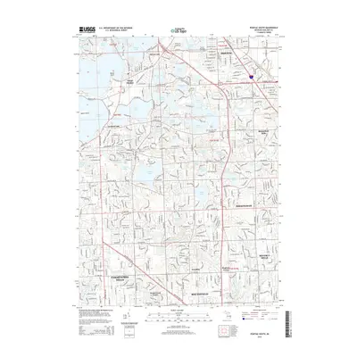
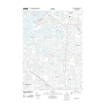 2011 Pontiac South2011 Print · USGSCovers Beverly Hills, including Farmington Hills, Southfield, and other nearby areas
 - 2011 Map of Birmingham, 2011 Print
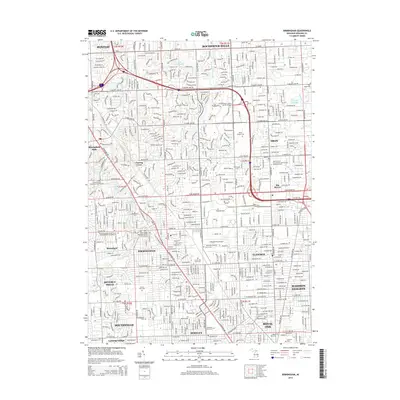
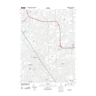 2011 Birmingham2011 Print · USGSCovers Beverly Hills, including Troy, Rochester Hills, and other nearby areas
 - 2014 Map of Birmingham, 2014 Print
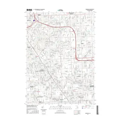
 2014 Birmingham2014 Print · USGSCovers Beverly Hills, including Troy, Rochester Hills, and other nearby areas
 - 2014 Map of Pontiac South, 2014 Print
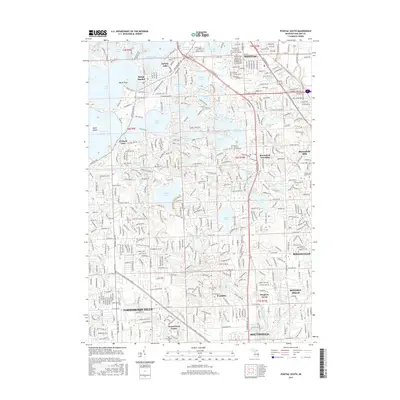
 2014 Pontiac South2014 Print · USGSCovers Beverly Hills, including Farmington Hills, Southfield, and other nearby areas
 - 2017 Map of Birmingham, 2017 Print
 2017 Birmingham2017 Print · USGSCovers Beverly Hills, including Troy, Rochester Hills, and other nearby areas
 - 2017 Map of Pontiac South, 2017 Print
 2017 Pontiac South2017 Print · USGSCovers Beverly Hills, including Farmington Hills, Southfield, and other nearby areas
 - 2019 Map of Pontiac South, 2019 Print
 2019 Pontiac South2019 Print · USGSCovers Beverly Hills, including Farmington Hills, Southfield, and other nearby areas
 - 2019 Map of Birmingham, 2019 Print
 2019 Birmingham2019 Print · USGSCovers Beverly Hills, including Troy, Rochester Hills, and other nearby areas
 - 2023 Map of Birmingham, 2023 Print
 2023 Birmingham2023 Print · USGSThe Detroit suburbs of Oakland County are captured here in the 2020s, showcasing a mature landscape of residential grids and institutional grounds. Genealogists and local historians can map numerous local landmarks, from the Oakland/Troy Airport to the historic Greenwood Cem and White Chapel Cem.
Showing maps 1-25 of 26
Top cities near Beverly Hills
- Detroit historical maps
- Sterling Heights historical maps
- Warren historical maps
- Canton Township historical maps
- Livonia historical maps
- Dearborn historical maps
See more
Frequently asked questions
- What are the different types of historical maps available for Beverly Hills?
- What is the oldest map of Beverly Hills?
- Where can I purchase historical maps of Beverly Hills for my home or office?
- Where can I download high-res historical maps of Beverly Hills?
- Are there historical topographic maps available for Beverly Hills?
- Is there historical aerial imagery available for Beverly Hills?
- Where are historical maps of Beverly Hills sourced from?