Old Maps of Benona Township, Michigan for Genealogy
Trace your family roots with 30 historic maps of Benona Township. These high-res maps reveal old neighborhoods, homesites, landmarks, and streets — helping you uncover where your ancestors lived and how the area evolved over time.
- Explore historic neighborhoods: Identify where your relatives may have lived in the 1800s or 1900s.
- Compare maps over time: Trace the changes in streets, buildings, and landmarks for multi-generational research.
- Perfect for genealogy & ancestry research: Used by family historians and researchers to map out lineage and migration.
These maps are an incredible resource for exploring your personal connection to Benona Township's past.
Benona Township, MI maps
(30)- 1931 Map of Hart NW
 1931 Hart NW1931 Print · USGSOceana County’s coast and interior farmsteads are captured in the early 1930s, showing a landscape defined by small rural school districts and the lakefront. Researchers can trace family locations through sites like Wesley M E Ch, the village of Mears, and schools like Young Sch and Garver Sch.
 - 1954 Map of Milwaukee, 1967 Print
 1954 Milwaukee1967 Print · USGSCoastal life and maritime commerce across Lake Michigan are seen here during the mid-fifties, bridging Wisconsin's industrial hubs and Michigan's timberlands. Genealogists and historians can trace the rail lines of the Grand Trunk Western and find long-established ports like Ludington, Port Washington, and Muskegon.3 unique versions available
 - 1958 Map of Milwaukee
 1958 Milwaukee1958 Print · USGSThe shorelines of Lake Michigan in the late fifties reveal a landscape of bustling ferry ports and growing industrial suburbs. Genealogists and historians can trace rail networks like the Chesapeake & Ohio and locate landmarks such as Little Sable Point and Holy Cross Church.
 - 1959 Map of Hart, 1961 Print
 1959 Hart1961 Print · USGSOceana County at the close of the 1950s shows a landscape defined by Great Lakes shorelines and the busy rail towns of the interior. Trace the rural school system and family sites from Little Point Sable to the Chesapeake and Ohio line through Mears and Shelby.3 unique versions available
 - 1976 Map of Hart NW
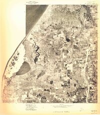 1976 Hart NW1976 Print · USGSThe Oceana County shoreline and coastal dunes are captured in this mid-seventies aerial survey. Local historians and land researchers can trace the landscape around Mears and the natural boundary of Silver Lake along the Lake Michigan coast.
 - 1983 Map of Mears
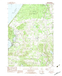 1983 Mears1983 Print · USGSThe Oceana County shoreline and the village of Mears are captured here in the early eighties as a landscape of orchards, state forests, and shifting dunes. Researchers can locate family landmarks such as the Mission Covenant Ch, the Round Lake Cem, and the settlement of Hunter.
 - 1983 Map of Little Point Sable
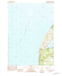 1983 Little Point Sable1983 Print · USGSThe Oceana County shoreline is documented here in the early 1980s, showcasing the transition from dramatic dunes to rural townships. Genealogists and historians can locate the iconic Little Point Sable Lighthouse and trace early road networks like Warren Road near Silver Lake.
 - 1983 Map of Bigsbie Lake
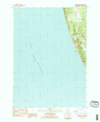 1983 Bigsbie Lake1983 Print · USGSThe Lake Michigan shoreline at Oceana County is captured in the early 1980s, showcasing the transition from open water to coastal dunes. Researchers can trace the proximity of Bigsbie Lake and Stony Lake to the lakefront along roads like Scenic Drive.2 unique versions available
 - 1983 Map of Town Corners
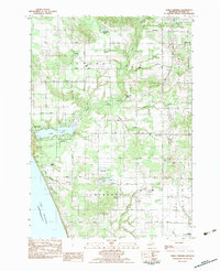 1983 Town Corners1983 Print · USGSWestern Oceana County in the early eighties shows a landscape of coastal lakes and active oil production near the Michigan shore. Researchers can trace family sites at Gardner Cem and Cranston Cem, or locate the Stony Lake Oil Field and the rural center at Town Corners.2 unique versions available
 - 1983 Map of Ludington, 1984 Print
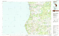 1983 Ludington1984 Print · USGSThe Michigan shoreline during the early eighties comes alive in this survey of the dunes and woodlands. Trace the Chesapeake and Ohio rail route through Ludington and Hart, or find family landmarks like Meisenheimer Corners and Wiley.
 - 2011 Map of Bigsbie Lake, 2011 Print
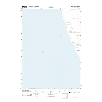 2011 Bigsbie Lake2011 Print · USGSThe Oceana County shoreline in the early twenty-first century is defined by its quiet residential roads and inland waters. Researchers can trace the layout of Stony Lake and find landmarks like Bigsbie Lake and the Benona Shores Golf Course.
 - 2011 Map of Little Point Sable, 2011 Print
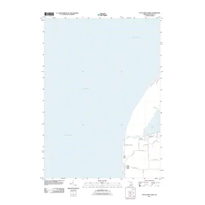 2011 Little Point Sable2011 Print · USGSThe Oceana County shoreline and the towering dunes south of the Silver Lake area are documented here at the turn of the decade. Trace the coastal access roads and find prominent landmarks like the Little Point Sable Lighthouse and Sandy Shores Campground.
 - 2011 Map of Town Corners, 2011 Print
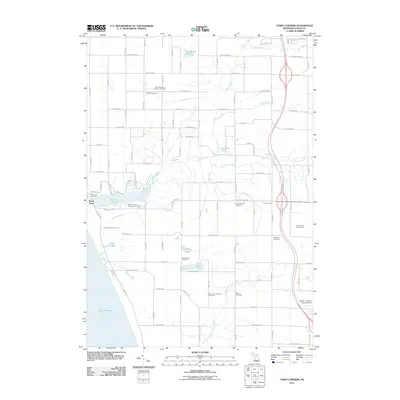 2011 Town Corners2011 Print · USGSOceana County’s shoreline and agricultural interior are captured here in the early 2000s, from the Lake Michigan coast to the inland crossroads of Town Corners. Local historians can trace numerous family burial grounds like Gardner Cemetery and Cranston Cemetery or locate the Stony Lake Oil Field.
 - 2011 Map of Mears, 2011 Print
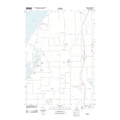 2011 Mears2011 Print · USGSOceana County’s lakeside character is on full display in this early twenty-first-century record of the area surrounding the Mears settlement. Researchers can trace local lineage through the Round Lake Cemetery or explore the geography of Silver Lake and the Pentwater River.
 - 2014 Map of Little Point Sable, 2014 Print
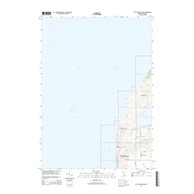 2014 Little Point Sable2014 Print · USGSThe Oceana County shoreline in the early twenty-first century is defined by the prominent headland of Little Point Sable. Genealogists and local historians can trace the rural landscape through landmarks like S Stone Church Rd and the waterfront near Silver Lake.
 - 2014 Map of Town Corners, 2014 Print
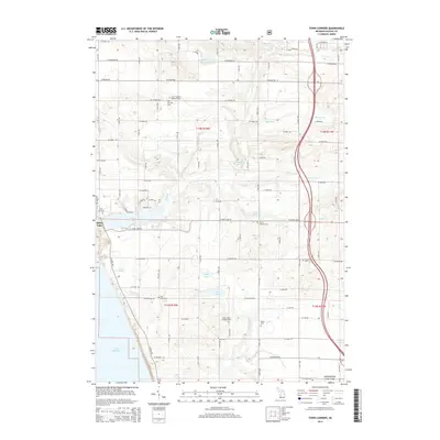 2014 Town Corners2014 Print · USGSThe Oceana County shoreline and the community of Stony Lake appear here in the early 2010s. Researchers can locate numerous family burial sites, including Saint Stephen's Lutheran Cem, Cranston Cem, and Pine Grove Cem.
 - 2014 Map of Bigsbie Lake, 2014 Print
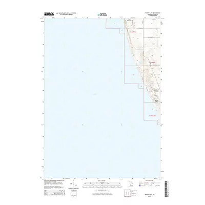 2014 Bigsbie Lake2014 Print · USGSThe Lake Michigan shoreline of Oceana County is captured here in the early twenty-first century, featuring the transition from open water to dune bluffs. Researchers can trace the development of the Stony Lake settlement and find landmarks like Little Sable Point and Bigsbie Lake.
 - 2014 Map of Mears, 2014 Print
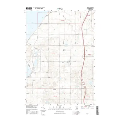 2014 Mears2014 Print · USGSCoastal Oceana County is documented here during the early twenty-first century, showing the established landscape of inland lakes and rural townships. Genealogists and local researchers can trace family lands near Mears or locate burial sites like Round Lake Cem and Hart Cem.
 - 2017 Map of Town Corners, 2017 Print
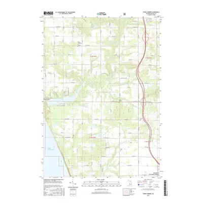 2017 Town Corners2017 Print · USGSCoastal Oceana County at the turn of the twenty-first century shows a well-established network of rural cemeteries and lakeshore settlements. Researchers can locate numerous family and community landmarks, from Gardner Cem and Peace Cem to the waters of Saddleback Lake.
 - 2017 Map of Bigsbie Lake, 2017 Print
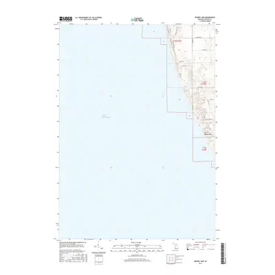 2017 Bigsbie Lake2017 Print · USGSThe West Michigan shoreline near Benona Township is captured here in the late 2010s. Researchers can trace the development around Stony Lake and find specific local landmarks like Bigsbie Lake and Thomas Pike along the Lake Michigan bluffs.
 - 2017 Map of Mears, 2017 Print
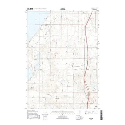 2017 Mears2017 Print · USGSOceana County is shown in this recent era as the orchard and shoreline landscape evolved between the towns of Hart and Shelby. Researchers can locate family sites near Mears Cem or trace the route of the William Field Memorial Hart-Montague Trail State Park.
 - 2017 Map of Little Point Sable, 2017 Print
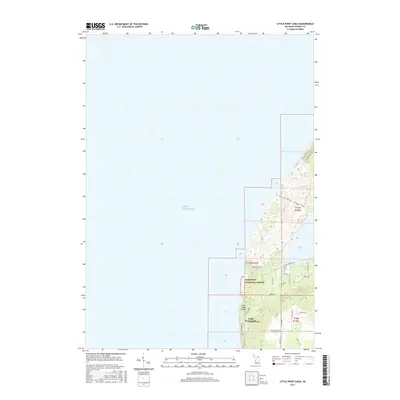 2017 Little Point Sable2017 Print · USGSThe Lake Michigan shoreline of Oceana County is captured here in the late 2010s, showcasing the unique dunes and forests of Little Point Sable. Researchers can trace the modern boundaries of the Manistee National Forest and local landmarks like Silver Lake and S Stone Church Rd.
 - 2019 Map of Town Corners, 2019 Print
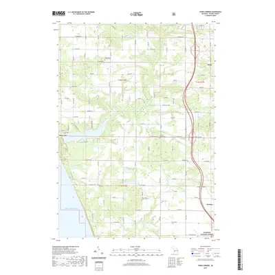 2019 Town Corners2019 Print · USGSThis western Michigan coastline in the late 2010s shows a landscape of lakeside communities and quiet rural roads between the big lake and the national forest. Genealogists can trace family landmarks at Stony Lake Cem, Pine Grove Cem, and the rural crossroads at Town Corners.
 - 2019 Map of Mears, 2019 Print
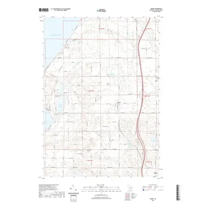 2019 Mears2019 Print · USGSCoastal Oceana County at the end of the 2010s shows a unique balance of Lake Michigan shoreline and historic rural townships. Genealogists and researchers can trace local families through Round Lake Cem or Mears Cem and locate landmarks like the Silver Lake Airport and Hart.
 - 2019 Map of Little Point Sable, 2019 Print
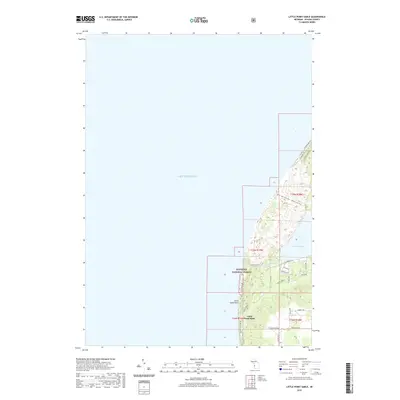 2019 Little Point Sable2019 Print · USGSThe Oceana County shoreline is captured here in the late twenty-teens, showing the unique dune topography between Silver Lake and the big lake. Trace the coastal roads and forest boundaries from Little Point Sable to the winding paths of N Sahara Trl.
Showing maps 1-25 of 30
Top cities near Benona Township
- Whitehall historical maps
- Montague historical maps
- Hart historical maps
- Shelby historical maps
- Weare historical maps
- Lakewood Club historical maps
See more
Top neighborhoods of Benona Township
Frequently asked questions
- What are the different types of historical maps available for Benona Township?
- What is the oldest map of Benona Township?
- Where can I purchase historical maps of Benona Township for my home or office?
- Where can I download high-res historical maps of Benona Township?
- Are there historical topographic maps available for Benona Township?
- Is there historical aerial imagery available for Benona Township?
- Where are historical maps of Benona Township sourced from?