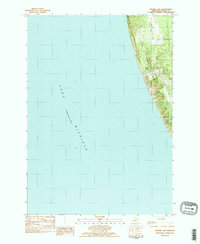
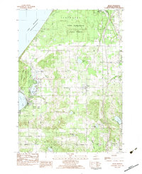
1983 Map of Bigsbie Lake
USGS Topo · Published 1983About this map
Little Sable Point dominates this 1983 coastal survey, marking a prominent projection into the eastern waters of Lake Michigan. The landscape is defined by the proximity of the shoreline to interior fresh water, with Bigsbie Lake and the northern tip of Stony Lake situated just behind the primary coastal dunes. This positioning highlights the characteristic geography of Oceana County, where low-lying lakes are sheltered from the open lake by wind-swept terrain.
Find a feature on this map
9 named features on this map. Tap any name to fly to it.
Don’t see what you’re looking for? This feature index may not catch every label — zoom into the map to look around manually.
Map Details
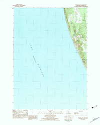
Editions of this 1983 Bigsbie Lake Map
2 editions found
Other maps of this area

1929 · Montague
USGS Topo · 1:48,000

1931 · Hart NW
USGS Topo · 1:31,680

1954 · Milwaukee
USGS Topo · 1:250,000

1958 · Milwaukee
USGS Topo · 1:250,000

1959 · Montague
USGS Topo · 1:62,500

1959 · Hart
USGS Topo · 1:62,500

1976 · Montague NW
USGS Topo · 1:24,000
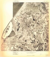
1976 · Hart NW
USGS Topo · 1:24,000
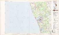
1982 · Muskegon
USGS Topo · 1:100,000
1983 · Mears
USGS Topo · 1:25,000