Loading...
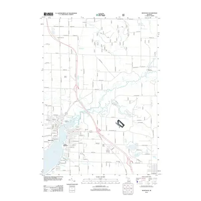
Loading map...1959 Map of Montague
USGS Topo · Published 1960About this map
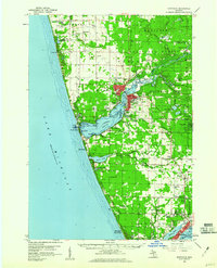
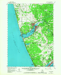
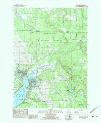
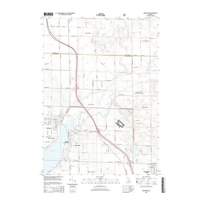
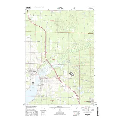
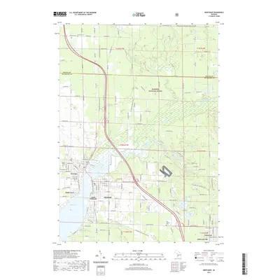
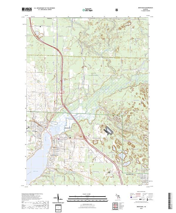
White Lake serves as the focal point for this mid-century coastal survey, where the twin cities of Montague and Whitehall sit at the mouth of the White River. The landscape reveals a transition from the established harbor and industrial features like Salt Wells and Gravel Pit sites to the dense wooded tracts of the Manistee National Forest. This era of development is evidenced by the prominent Chesapeake and Ohio railroad corridor and the residential growth seen in South Whitehall, Lakewood, and North Muskegon.
Find a feature on this map
91 named features on this map. Tap any name to fly to it.
Don’t see what you’re looking for? This feature index may not catch every label — zoom into the map to look around manually.
Map Details
Date Portrayed1959
Date Published1960
PublisherU.S. Geological Survey
Map TypeTopographic
Scale1:62,500
Physical Dimensions17 x 20.9 inches
Editions of this 1959 Montague Map
2 editions found
Historical Maps of Muskegon Through Time
8 maps found
Featured Locations
Source Details
SourceU.S. Geological Survey
CopyrightPublic Domain