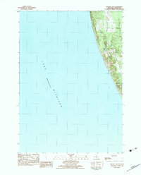
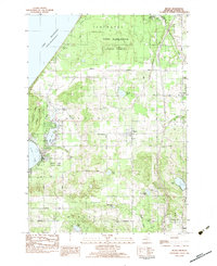
1983 Map of Bigsbie Lake
USGS Topo · Published 1983About this map
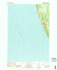
Little Sable Point dominates this coastal landscape along the eastern shore of Lake Michigan in Oceana County. This 1983 provisional survey captures the geography of the shoreline just as modernization of the local road network was being documented, featuring the intersection of Scenic Drive, Shelby Road, and Ridge Avenue. The map provides a detailed view of the area surrounding Stony Lake, a prominent settlement and water body on the southern edge of the quadrangle. Further north, the smaller, namesake Bigsbie Lake sits tucked behind the coastal dunes. The transition from the sandy lakefront to the inland grid of roads reflects the area's development as a destination for both seasonal recreation and permanent residence during the late twentieth century.
Find a feature on this map
7 named features on this map. Tap any name to fly to it.
Don’t see what you’re looking for? This feature index may not catch every label — zoom into the map to look around manually.
Map Details
Editions of this 1983 Bigsbie Lake Map
2 editions found
Other maps of this area

1929 · Montague
USGS Topo · 1:48,000

1931 · Hart NW
USGS Topo · 1:31,680

1954 · Milwaukee
USGS Topo · 1:250,000

1958 · Milwaukee
USGS Topo · 1:250,000

1959 · Montague
USGS Topo · 1:62,500

1959 · Hart
USGS Topo · 1:62,500

1976 · Montague NW
USGS Topo · 1:24,000
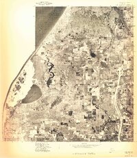
1976 · Hart NW
USGS Topo · 1:24,000
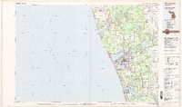
1982 · Muskegon
USGS Topo · 1:100,000
1983 · Mears
USGS Topo · 1:25,000