Old Maps of Grant Township, Michigan for Academic Research
Study the evolution of Grant Township with 35 high-resolution historic maps. Whether you're teaching, researching, or modeling changes in land use, these maps provide essential visual documentation of urban, environmental, and geographic change.
- Analyze long-term change: Track patterns in development, transportation, and natural features.
- Ideal for environmental or urban studies: Support academic projects with primary historical map data.
- Use in the classroom or lab: Educators and researchers rely on these maps to bring historical context to life.
These maps are a powerful tool for teaching, research, and visualizing how Grant Township has changed over the decades.
Grant Township, MI maps
(35)- 1929 Map of Montague
 1929 Montague1929 Print · USGSThe Muskegon County shoreline flourished as a premier Great Lakes resort destination in the late twenties. Genealogists and local researchers can locate numerous rural schoolhouses, the White River Light, and the old Swedish Mission meeting house.
 - 1931 Map of Hart SE
 1931 Hart SE1931 Print · USGSOceana County at the dawn of the 1930s reveals a productive landscape of lakeside farms and rail-connected villages. Trace the early routes of U S Highway No 31 through New Era and Shelby, or locate family sites near Eagle Sch and Ferry Cem.
 - 1954 Map of Milwaukee, 1967 Print
 1954 Milwaukee1967 Print · USGSCoastal life and maritime commerce across Lake Michigan are seen here during the mid-fifties, bridging Wisconsin's industrial hubs and Michigan's timberlands. Genealogists and historians can trace the rail lines of the Grand Trunk Western and find long-established ports like Ludington, Port Washington, and Muskegon.3 unique versions available
 - 1958 Map of Milwaukee
 1958 Milwaukee1958 Print · USGSThe shorelines of Lake Michigan in the late fifties reveal a landscape of bustling ferry ports and growing industrial suburbs. Genealogists and historians can trace rail networks like the Chesapeake & Ohio and locate landmarks such as Little Sable Point and Holy Cross Church.
 - 1959 Map of Montague, 1960 Print
 1959 Montague1960 Print · USGSThe Lake Michigan shoreline and White Lake harbor are shown here in the late fifties during a period of significant coastal growth. Genealogists and historians can locate numerous rural landmarks like Claybanks Church, Flower Creek School, and the White River Lighthouse.2 unique versions available
 - 1959 Map of Hart, 1961 Print
 1959 Hart1961 Print · USGSOceana County at the close of the 1950s shows a landscape defined by Great Lakes shorelines and the busy rail towns of the interior. Trace the rural school system and family sites from Little Point Sable to the Chesapeake and Ohio line through Mears and Shelby.3 unique versions available
 - 1976 Map of Montague NW
 1976 Montague NW1976 Print · USGSThe Michigan shoreline and surrounding farmlands are captured in high detail in this mid-seventies aerial survey. Genealogists and local historians can trace property boundaries and coastal changes near Lake Michigan and the northern tip of White Lake.
 - 1976 Map of Hart SE
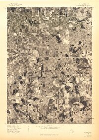 1976 Hart SE1976 Print · USGSOceana County is shown in remarkable aerial detail during the mid-seventies, capturing the agricultural heart of west Michigan. Genealogists and local historians can trace exact farmstead locations and rural boundaries surrounding Shelby, New Era, and Rothbury.
 - 1976 Map of Montague NE, 1979 Print
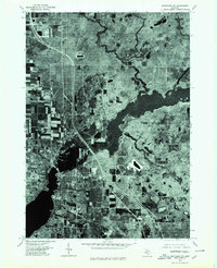 1976 Montague NE1979 Print · USGSSettlements along the Michigan coast are captured from above during the mid-seventies, showing the developed centers of Montague and Whitehall. Genealogists and historians can trace local property layouts and neighborhood growth in Maple Grove and Lakewood.
 - 1982 Map of Muskegon
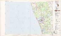 1982 Muskegon1982 Print · USGSThe West Michigan shoreline during the early eighties shows a bustling industrial and maritime landscape centered on Muskegon Lake and Grand Haven. Researchers can trace rail history along the Grand Trunk Western or locate local landmarks like Oakwood Cem and Cloverville.
 - 1983 Map of Montague
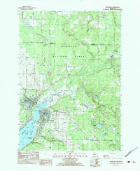 1983 Montague1983 Print · USGSThe twin cities of Montague and Whitehall sit at the mouth of the White River in the early eighties. Trace local genealogy and landmarks across White Lake, finding St James Ch, Oakwood Cem, and the tracks of the Chesapeake and Ohio.
 - 1983 Map of Town Corners
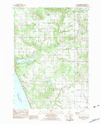 1983 Town Corners1983 Print · USGSWestern Oceana County in the early eighties shows a landscape of coastal lakes and active oil production near the Michigan shore. Researchers can trace family sites at Gardner Cem and Cranston Cem, or locate the Stony Lake Oil Field and the rural center at Town Corners.2 unique versions available
 - 1983 Map of Shelby
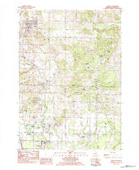 1983 Shelby1983 Print · USGSSouthern Oceana County appears in the early eighties as a corridor of small-town life and timberland. Trace the rail-side growth of Shelby, New Era, and Rothbury, or locate family sites at Mount Hope Cem and Assumption Cem.
 - 1983 Map of Flower Creek
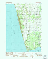 1983 Flower Creek1983 Print · USGSThe Lake Michigan shoreline of Muskegon and Oceana counties is shown here in the early eighties. Genealogists can trace family names through landmarks like Hubbard Cem and Green Sch, or follow the Chesapeake and Ohio rail corridor.
 - 1983 Map of Ludington, 1984 Print
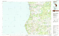 1983 Ludington1984 Print · USGSThe Michigan shoreline during the early eighties comes alive in this survey of the dunes and woodlands. Trace the Chesapeake and Ohio rail route through Ludington and Hart, or find family landmarks like Meisenheimer Corners and Wiley.
 - 2011 Map of Flower Creek, 2011 Print
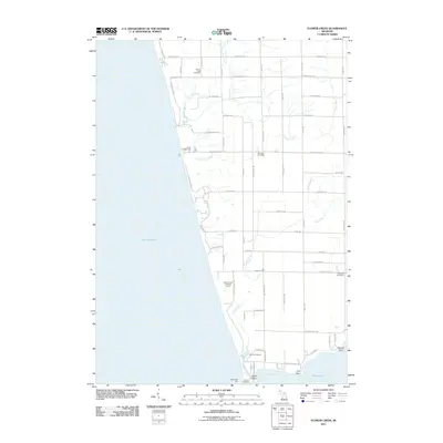 2011 Flower Creek2011 Print · USGSCoastal Muskegon County is captured here in the early 2000s, showing the intersection of the Lake Michigan shoreline with rural Michigan farmsteads. Researchers can locate historic burial sites like Mouth Cemetery or trace the development around Indian Bay and the North Pier Light.
 - 2011 Map of Town Corners, 2011 Print
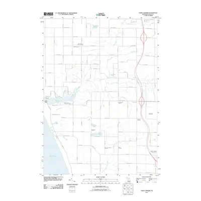 2011 Town Corners2011 Print · USGSOceana County’s shoreline and agricultural interior are captured here in the early 2000s, from the Lake Michigan coast to the inland crossroads of Town Corners. Local historians can trace numerous family burial grounds like Gardner Cemetery and Cranston Cemetery or locate the Stony Lake Oil Field.
 - 2012 Map of Shelby, 2012 Print
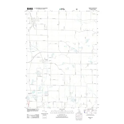 2012 Shelby2012 Print · USGSShelby and the surrounding Oceana County countryside are shown here at a moment of continued rural tradition and recreational growth. Genealogists and historians can trace family roots at the Mount Hope Cem, Eagle Cem, or Mennonite Cem while exploring the geography of Potters Marsh.
 - 2012 Map of Montague, 2012 Print
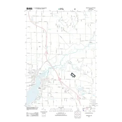 2012 Montague2012 Print · USGSMuskegon County's lakefront and river valley are shown in detail during the early 2010s. Researchers can trace local history through markers like Old Sprague Cem and Mount Calvary Cem or locate former landmarks like Ottiger Airport.
 - 2014 Map of Town Corners, 2014 Print
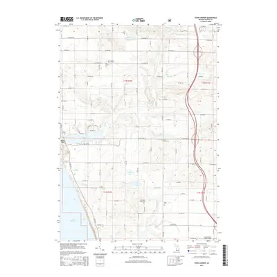 2014 Town Corners2014 Print · USGSThe Oceana County shoreline and the community of Stony Lake appear here in the early 2010s. Researchers can locate numerous family burial sites, including Saint Stephen's Lutheran Cem, Cranston Cem, and Pine Grove Cem.
 - 2014 Map of Montague, 2014 Print
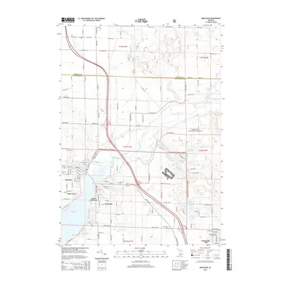 2014 Montague2014 Print · USGSThe lakeside communities of Whitehall and Montague are captured here in 2014, showing the meeting point of industry and the Manistee National Forest. Genealogists can locate several local burial grounds like Oakhurst Cem and Old Sprague Cem near the shores of White Lake.
 - 2014 Map of Flower Creek, 2014 Print
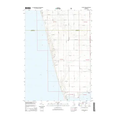 2014 Flower Creek2014 Print · USGSCoastal Michigan's shoreline and the inland drainage of Flower Cr are captured here during the early twenty-first century. Genealogists and local historians can locate several rural burial sites, including Mouth Cem and Oakwood Cem, alongside the forest tracks of the Manistee National Forest.
 - 2014 Map of Shelby, 2014 Print
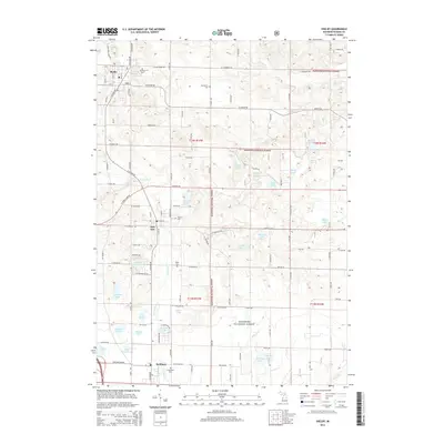 2014 Shelby2014 Print · USGSWestern Michigan’s agricultural heartland and forest reserves are detailed here during the mid-2010s. Local researchers can trace family plots at Mt Hope Cem or Eagle Cem and explore the rural outskirts of Shelby and New Era.
 - 2017 Map of Montague, 2017 Print
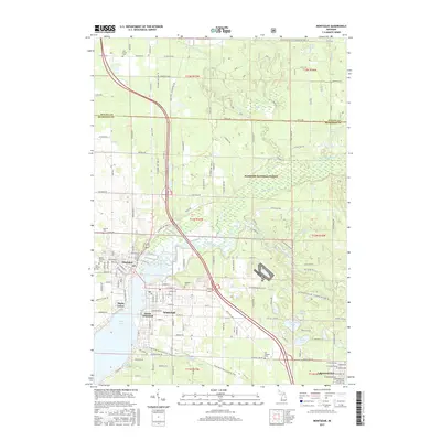 2017 Montague2017 Print · USGSThe twin cities of Montague and Whitehall are captured here at the edge of the White River in the late 2010s. Genealogists and local historians can locate Oakhurst Cem, trace the Fred Meijer Berry Junction Trail, or explore the limits of Lakewood Club.
 - 2017 Map of Shelby, 2017 Print
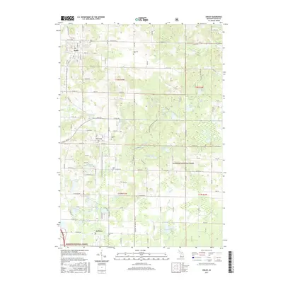 2017 Shelby2017 Print · USGSOceana County is shown here in the late twenty-tens, centered on the historic corridor between Shelby and Rothbury. Genealogists and local historians can trace burial sites across the township, from Mount Hope Cem to Eagle Cem, or explore the wetlands of the Manistee National Forest.
Showing maps 1-25 of 35
Top cities near Grant Township
- Dalton historical maps
- Whitehall historical maps
- Montague historical maps
- Hart historical maps
- Shelby historical maps
- Twin Lake historical maps
See more
Top neighborhoods of Grant Township
Frequently asked questions
- What are the different types of historical maps available for Grant Township?
- What is the oldest map of Grant Township?
- Where can I purchase historical maps of Grant Township for my home or office?
- Where can I download high-res historical maps of Grant Township?
- Are there historical topographic maps available for Grant Township?
- Is there historical aerial imagery available for Grant Township?
- Where are historical maps of Grant Township sourced from?