2020s Maps of Osceola County, Michigan
Explore 20 historic maps of Osceola County from the 2020s. These maps offer a rare glimpse into what life looked like during the 2020s — showing old roads, neighborhoods, homes, and landmarks that have changed or disappeared over time.
Whether you're researching your family's past, planning a metal detecting trip, or studying how Osceola County's landscape evolved across the 2020s, these high-resolution maps are a powerful tool for exploring the history of this region.
- Focus on a specific era: All maps on this page are from the 2020s, giving you a focused view of this time period.
- See what’s changed: Compare century-old streets, trails, and buildings to today's modern landscape using overlays and satellite layers.
- Research with precision: Use these maps for genealogy, historical research, land use analysis, or educational projects.
- View, download, or print: Maps are fully viewable online in high resolution, and can be downloaded or printed for your own records.
Start exploring Osceola County's history through authentic maps from the 2020s. This is your window into the past.
Osceola County, MI maps
(20)- 2023 Map of Temple, 2023 Print
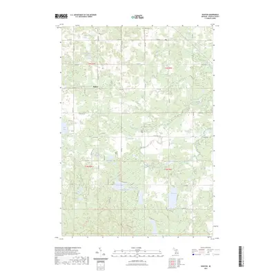
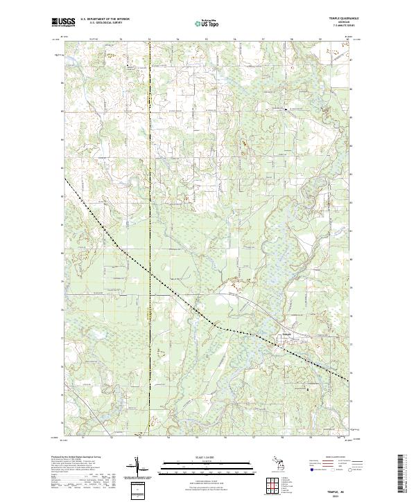 2023 Temple2023 Print · USGSThe community of Temple and the surrounding river valleys are captured here during the early 2020s. Researchers can locate burial sites at Winterfield Cem and Fernwood Cem or trace the winding paths of the Muskegon River and Clam River.
 - 2023 Map of McBain, 2023 Print
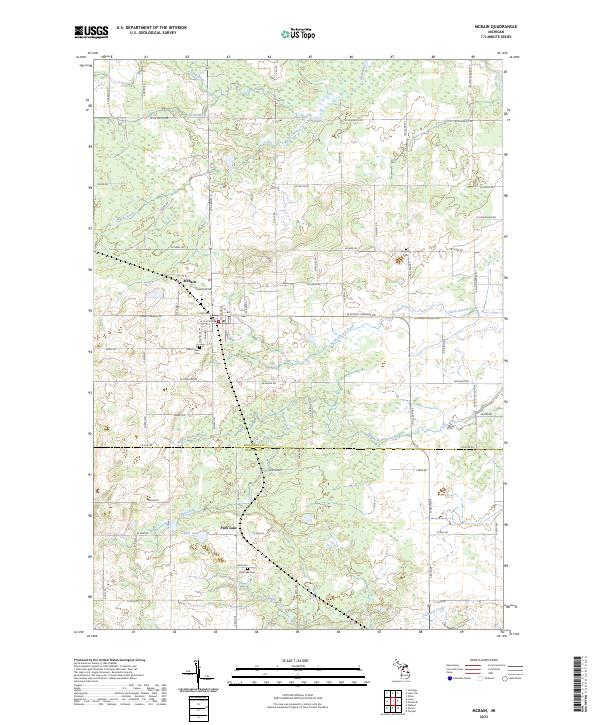 2023 McBain2023 Print · USGSThe rural landscapes of Missaukee and Osceola counties are captured here in the early twenty-first century, centered on the community of McBain. Researchers can trace local lineage through Mount View Cem and explore the headwaters of the Clam River and Dishwash Creek.
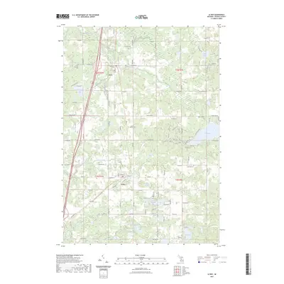
 - 2023 Map of Axin, 2023 Print
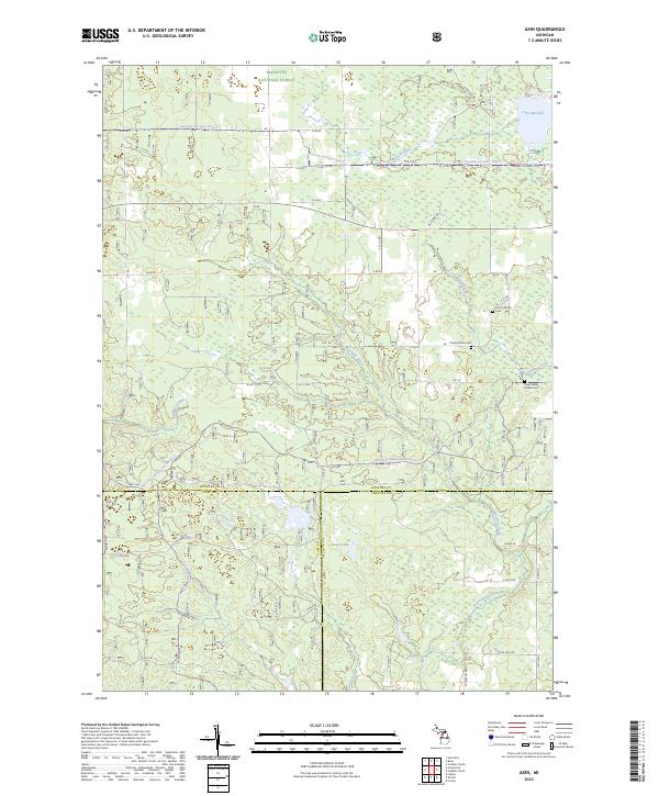 2023 Axin2023 Print · USGSWexford County's forested landscapes and glacial waterways are meticulously documented in this recent survey. Genealogists and local historians can trace the positions of the Larson Family Cem, Cherry Grove Cem, and the shoreline of Lake Mitchell.
 - 2023 Map of Marion, 2023 Print
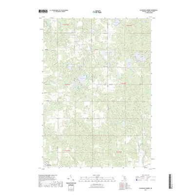
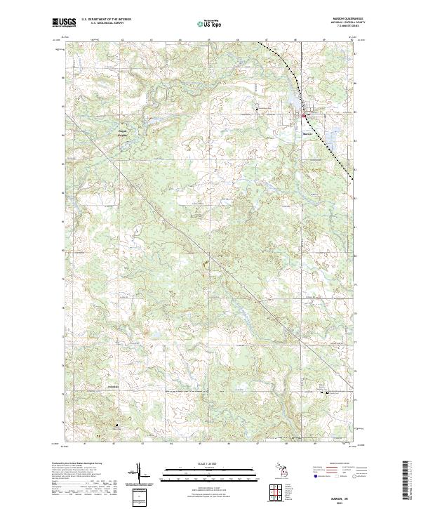 2023 Marion2023 Print · USGSMarion and northern Osceola County are documented here in 2023, showcasing a landscape of river valleys and rural township life. Researchers can trace local heritage at Middle Branch Township Cem, the community of Avondale, and along the winding Middle Branch River.
 - 2023 Map of Evart, 2023 Print
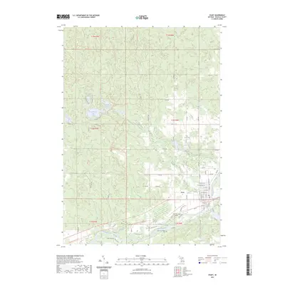 2023 Evart2023 Print · USGSEvart and the Muskegon River valley are captured here in a period of modern stability. Genealogists and local historians can trace family plots at German Cem or follow the historic rail corridor now known as the Pere Marquette State Trl.
 - 2023 Map of Reed City North, 2023 Print
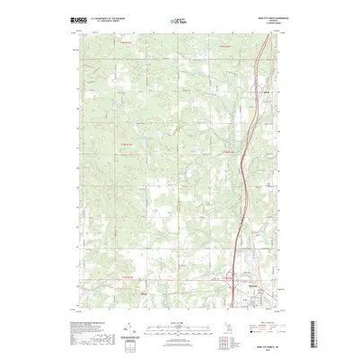 2023 Reed City North2023 Print · USGSOsceola County at the start of the 2020s shows the enduring layout of the northern Michigan countryside around Reed City. Researchers can trace the path of the Fred Meijer White Pine Trail State Park Trl or locate family burial sites at Ashton Cem and Wilson Cem.
 - 2023 Map of Hersey, 2023 Print
 2023 Hersey2023 Print · USGSOsceola County at the junction of the Muskegon and Hersey Rivers shows a landscape transitioning from its rail-industrial roots to recreation. You can trace early burial sites at Crapo and Oakdale Cemeteries, or locate the settlements of Hersey and Grant Center.
 - 2023 Map of Lucas, 2023 Print
 2023 Lucas2023 Print · USGSThe tri-county border of Missaukee, Wexford, and Osceola comes into focus in this recent survey. Local historians can trace family land ties near the Lucas settlement and identify burial sites at Richland Cem and Hillside Cem.
 - 2023 Map of Chippewa Lake North, 2023 Print
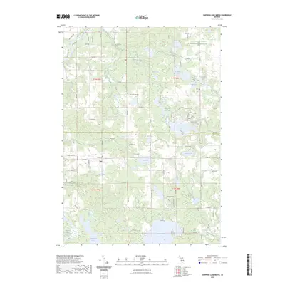 2023 Chippewa Lake North2023 Print · USGSMecosta and Osceola Counties are shown here in the early 2020s, highlighting a landscape of sprawling glacial lakes and rural settlements. Researchers can locate family sites at Proctor Family Cem and Pioneer Cem or trace the winding course of the Muskegon River.
 - 2023 Map of Falmouth, 2023 Print
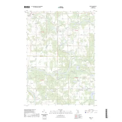
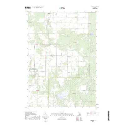 2023 Falmouth2023 Print · USGSMissaukee County's rural agricultural landscape is documented here in the early twenty-first century. Researchers can trace local heritage through burial sites like Clam Union Cem and the communities of Falmouth, Prosper, and Vogel Center.
 - 2023 Map of Bristol, 2023 Print
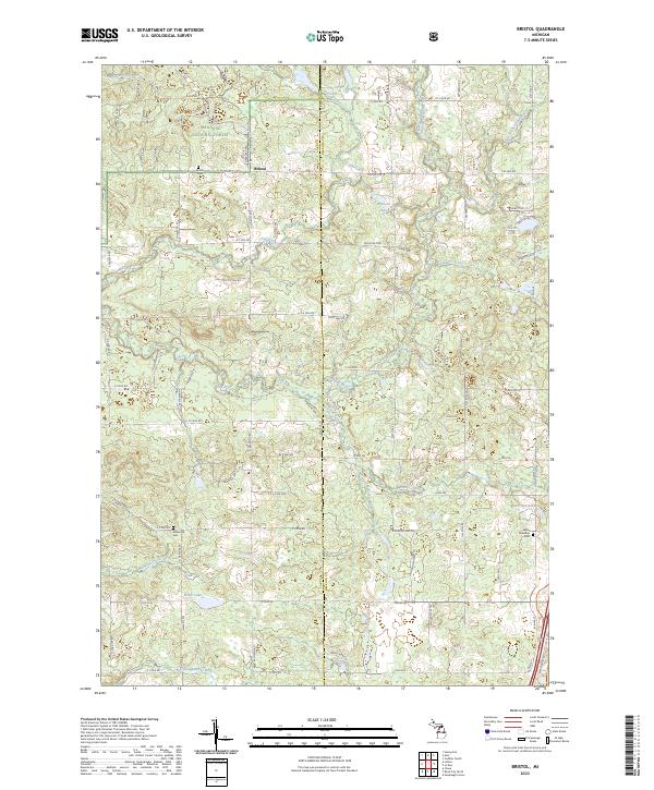 2023 Bristol2023 Print · USGSOsceola and Lake Counties are documented here in recent years, showing the intersection of the Manistee National Forest and local settlements. Researchers can trace ancestral sites at Bristol Cem and LeRoy Township Cem or follow the waters of the Little Manistee River.
 - 2023 Map of Cadillac South, 2023 Print
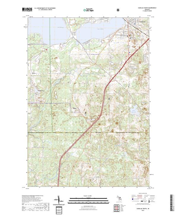 2023 Cadillac South2023 Print · USGSThe southern portion of Cadillac and the surrounding Wexford County townships are documented here during their modern transition. Researchers can find numerous historic burial sites like Green Family Cem and Maple Hill Cem, and trace the route of the White Pine Trail.
 - 2023 Map of Dighton, 2023 Print
 2023 Dighton2023 Print · USGSOsceola County is shown here in the early 2020s, featuring a dense landscape of glacial lakes and small rural settlements. Researchers can trace family history at Highland Cem or locate seasonal landmarks around Rose Lake, Dighton, and the Middle Branch River.
 - 2023 Map of Le Roy, 2023 Print
 2023 Le Roy2023 Print · USGSOsceola County at the start of the 2020s shows a landscape of established villages and quiet lakeside communities. Researchers can trace family history at Maple Hill Cem or follow the historic rail corridor along the Fred Meijer White Pine Trail State Park Trl near Le Roy.
 - 2023 Map of Lake NE, 2023 Print
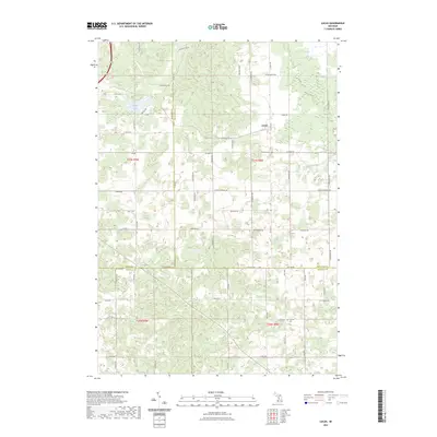
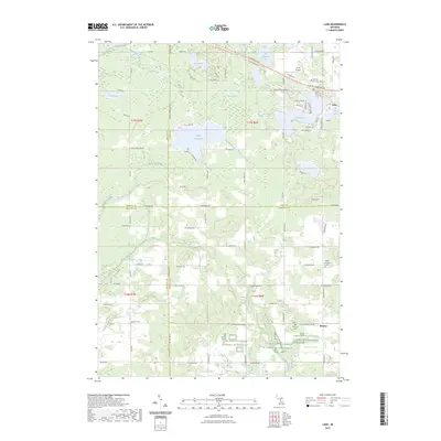
 2023 Lake NE2023 Print · USGSOsceola and Clare counties are shown here as they appeared in 2023, characterized by dense wetlands and glacial lake systems. Researchers can trace the path of the Pere Marquette State Trl and locate secluded water bodies like Big Cranberry Lake and Lake Ernestine.
 - 2023 Map of Lake, 2023 Print
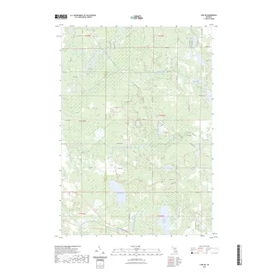
 2023 Lake2023 Print · USGSIsabella County and its neighboring townships are captured here in a detailed contemporary portrait. Genealogists and local historians can locate early burial sites like Odd Fellows Cem and Fork Cem or trace the Pere Marquette State Trl.
 - 2023 Map of Slaybaugh Corner, 2023 Print
 2023 Slaybaugh Corner2023 Print · USGSOsceola County is captured here in the early 2020s, revealing a landscape of dense glacial lakes and rural settlements. Trace family history near Ashton and the Bethel Cem, or explore the shorelines of Robinson Lake and Eggleston Lake.
 - 2023 Map of Merrill Lake, 2023 Print
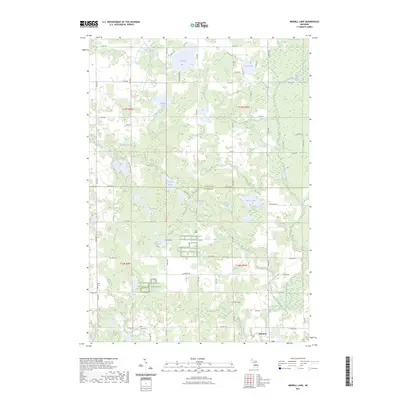 2023 Merrill Lake2023 Print · USGSThe village of Barryton and the surrounding lake country appear in high detail during the early 2020s. Researchers can locate family heritage sites like Sparks Cem or trace the winding course of the North Branch Chippewa River.
 - 2023 Map of Sears, 2023 Print
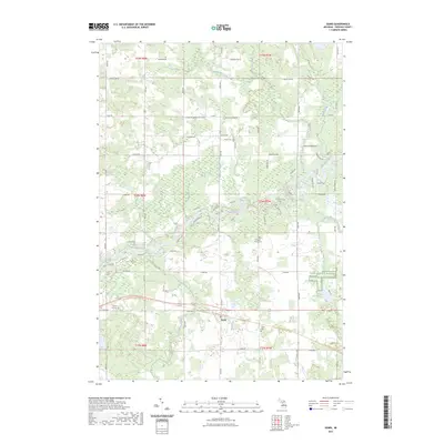 2023 Sears2023 Print · USGSOsceola County's rural landscape is captured here in the 2020s, showing the intersection of river life and agricultural history. You can trace family roots at Sylvan Cem or follow the historic rail corridor now preserved as the Pere Marquette State Trl.
 - 2023 Map of Reed City South, 2023 Print
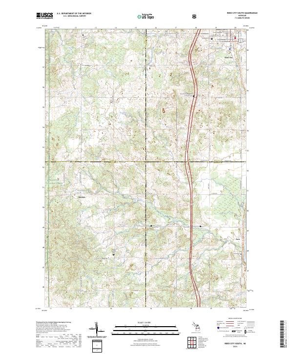 2023 Reed City South2023 Print · USGSFour Michigan counties converge in this contemporary survey of the wooded and agricultural lands south of the Reed City hub. Genealogists can trace family footprints through numerous rural burial grounds such as Barton Township Cem and the Saint Paul's Evangelical Lutheran Cem.
End of results
Showing maps 1-20 of 20
Top cities of Osceola County
Frequently asked questions
- What are the different types of historical maps available for Osceola County?
- What is the oldest map of Osceola County?
- Where can I purchase historical maps of Osceola County for my home or office?
- Where can I download high-res historical maps of Osceola County?
- Are there historical topographic maps available for Osceola County?
- Is there historical aerial imagery available for Osceola County?
- Where are historical maps of Osceola County sourced from?