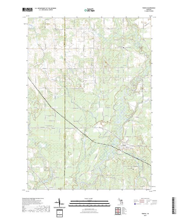
2023 Map of Temple
USGS Topo · Published 2023About this map
The settlement of Temple sits at the heart of this landscape, situated near the confluence of several vital Michigan waterways. The Muskegon River and Middle Branch River wind through the southern and central portions of the territory, defining a terrain shaped by drainage basins and wetlands. The local road network follows a rigid section-line grid, typical of Midwestern agricultural development, with names that reflect the region's geography such as W Long Lake Rd and 20 Mile Rd. Genealogists will find significant value in the documentation of local burial grounds, including Winterfield Cem, Watson Road Cem, and Fernwood Cem. The map illustrates the hydrological complexity of the area, where numerous smaller streams like Whisky Creek, Dishwash Creek, and Halford Creek feed into the larger river systems that once supported the timber and farming economies of Clare and Osceola counties.
Find a feature on this map
84 named features on this map. Tap any name to fly to it.
Don’t see what you’re looking for? This feature index may not catch every label — zoom into the map to look around manually.
Map Details
Editions of this 2023 Temple Map
This is the sole edition of this map. No revisions or reprints were ever made.
Other maps of this area

1954 · Traverse City
USGS Topo · 1:250,000

1954 · Midland
USGS Topo · 1:250,000

1957 · Harrison
USGS Topo · 1:62,500

1957 · Marion
USGS Topo · 1:62,500

1958 · Traverse City
USGS Topo · 1:250,000

1958 · Midland
USGS Topo · 1:250,000

1959 · Midland
USGS Topo · 1:250,000

1959 · Lake
USGS Topo · 1:62,500

1959 · Clare
USGS Topo · 1:62,500

1966 · Midland
USGS Topo · 1:250,000