Old Maps of Leroy Township, Michigan for Academic Research
Study the evolution of Leroy Township with 40 high-resolution historic maps. Whether you're teaching, researching, or modeling changes in land use, these maps provide essential visual documentation of urban, environmental, and geographic change.
- Analyze long-term change: Track patterns in development, transportation, and natural features.
- Ideal for environmental or urban studies: Support academic projects with primary historical map data.
- Use in the classroom or lab: Educators and researchers rely on these maps to bring historical context to life.
These maps are a powerful tool for teaching, research, and visualizing how Leroy Township has changed over the decades.
Leroy Township, MI maps
(40)- 1931 Map of Chase NE
 1931 Chase NE1931 Print · USGSOsceola and Lake counties appear in the early 1930s as a landscape of rural schoolhouses and rail-side settlements. Local historians can trace the foundations of Oliver along the Pere Marquette railroad or locate old school sites like Rosenburg Sch and Spears Sch.
 - 1933 Map of Luther SE
 1933 Luther SE1933 Print · USGSOsceola County timberlands and river valleys are captured here during the early 1930s, showing a landscape defined by water and woods. Genealogists can locate family landmarks like the Dover Cem, Bristol, and rural schoolhouses including Keats Sch.
 - 1954 Map of Traverse City, 1965 Print
 1954 Traverse City1965 Print · USGSNorthern Michigan’s vast lakeshores and timberlands are captured here in the mid-fifties, showing the region before the modern interstate era. Genealogists and researchers can trace rail connections like the Detroit and Mackinac RR or find old communities such as Suttons Bay, Elk Rapids, and Prudenville.4 unique versions available
 - 1954 Map of Midland, 1967 Print
 1954 Midland1967 Print · USGSMid-Michigan at the peak of the post-war era shows a landscape balancing industrial growth in Midland with the deep timberlands of the Manistee National Forest. Researchers can trace the legacy of the timber and rail era along the Pennsylvania RR or find family roots in river towns like Chesaning and Big Rapids.4 unique versions available
 - 1957 Map of Cadillac South, 1958 Print
 1957 Cadillac South1958 Print · USGSOsceola and Wexford Counties are shown in the late fifties as a landscape of dense state forests and quiet rail towns. Genealogists can trace family names through the Maple Hill Cem and Richland Cem, or locate long-gone sites like the Sherman Sch and Mineral Springs Oil Field.3 unique versions available
 - 1957 Map of Luther, 1958 Print
 1957 Luther1958 Print · USGSThe Lake County timberlands and rural crossroads are captured here in the late fifties as small villages thrived amidst the state and national forests. Researchers can trace family roots at Banker Cem and North Park Cem, or locate landmarks like Clay Hill Ch and Luther.4 unique versions available
 - 1958 Map of Traverse City
 1958 Traverse City1958 Print · USGSNorthern Lower Michigan was a landscape of vast state forests and burgeoning lakeside retreats in the late fifties. Genealogists and historians can trace the rail corridors of the Ann Arbor RR and find established settlements from Elk Rapids to Houghton Lake.2 unique versions available
 - 1958 Map of Midland
 1958 Midland1958 Print · USGSCentral Michigan in the late fifties is captured here during a period of transition for its university towns and industrial hubs. Genealogists and researchers can trace family lines through old rail-stop towns like Breckenridge and Chesaning or locate property near the Muskegon River and Prairie Farm.
 - 1959 Map of Midland
 1959 Midland1959 Print · USGSMid-century Michigan comes alive in this survey of the central Lower Peninsula, from the streets of Grand Rapids to the Houghton Lake timberlands. Genealogists and rail fans can trace the Ann Arbor RR and Chesapeake and Ohio RR through towns like Big Rapids and Mount Pleasant.
 - 1959 Map of Evart, 1960 Print
 1959 Evart1960 Print · USGSOsceola and Mecosta counties are shown here in the late fifties, featuring the rail hubs and river valleys that shaped the region's growth. Genealogists and historians can locate rural schools like Watson Sch, the Osceola Oil Field, and family landmarks such as Crapo Cem.3 unique versions available
 - 1959 Map of Reed City, 1960 Print
 1959 Reed City1960 Print · USGSOsceola and Lake Counties are captured here in the late fifties, defined by the meeting of major rail lines and dense public forests. Researchers can locate dozens of rural landmarks, from the Fish Hatchery near Paris to schools like Rehkoff Sch and Zion Ch.2 unique versions available
 - 1966 Map of Midland
 1966 Midland1966 Print · USGSCentral Michigan in the mid-1960s shows a landscape of growing manufacturing hubs and active resource extraction. Genealogists and historians can trace the rail corridors of the Grand Trunk Western or locate family-named landmarks near Oil wells and the Muskegon River.
 - 1983 Map of Cadillac, 1984 Print
 1983 Cadillac1984 Print · USGSThe Cadillac region in the early eighties was defined by its vast public forests and the prominent dual lakes at its center. Trace the legacies of the timber era along the Old Railroad Grade or locate old rural centers like Vogel Center and Harrietta.
 - 1983 Map of Slaybaugh Corner, 1984 Print
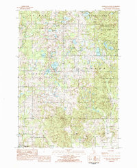 1983 Slaybaugh Corner1984 Print · USGSOsceola County in the early eighties is a landscape of dense state forest and scattered rural homesteads. Genealogists and local historians can trace family locations near Slaybaugh Corner, the Bethel Cem, and Eagle Boys Village.
 - 1983 Map of Le Roy, 1984 Print
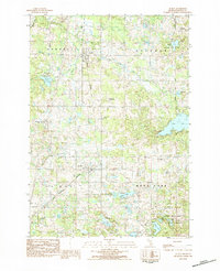 1983 Le Roy1984 Print · USGSThe rural landscape of northern Michigan comes alive in the early 1980s, centered on the historic rail corridor connecting Tustin and Le Roy. Genealogists and historians can trace local family landmarks through Maple Hill Cem, the Kettunen Center, and the recreation areas surrounding Rose Lake.
 - 1984 Map of Big Rapids
 1984 Big Rapids1984 Print · USGSMid-Michigan in the mid-eighties shows a balance of deep-woods conservation and riverfront industry centered on the Muskegon River. Genealogists and historians can trace rail-town development along the Chesapeake and Ohio or locate family sites near Idlewild, Reed City, and Forest Hill Cem.
 - 1987 Map of Reed City North
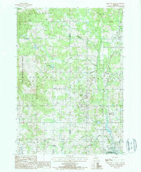 1987 Reed City North1987 Print · USGSOsceola and Lake Counties are mapped here in the late twentieth century, showing the intersection of heavy timberland and growing energy infrastructure. Researchers can trace the Old RR Grade, locate family sites near Olivers or Ashton, and study industrial sites like the Pumping Station.
 - 1987 Map of Bristol, 1988 Print
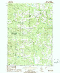 1987 Bristol1988 Print · USGSOsceola County in the late eighties is a landscape of protected woodlands and winding river valleys. Genealogists and local historians can trace the rural layout of Bristol, Edgetts, and Raymond Corners alongside landmarks like the local Cem.
 - 1989 Map of Traverse City, 1990 Print
 1989 Traverse City1990 Print · USGSNorthern Michigan’s lake-country and forest lands are captured in the late eighties as seasonal tourism and timber hubs expanded. Genealogists and historians can trace the routes of the Ann Arbor RR, the boundaries of Camp Grayling, and settlements like Elk Rapids and Manton.
 - 1991 Map of Big Rapids
 1991 Big Rapids1991 Print · USGSWest Michigan’s river valleys and timberlands are charted here during the early nineties, centered on the Big Rapids corridor. Researchers can trace the path of the C & O RR through settlements like Reed City, Baldwin, and White Cloud.
 - 2011 Map of Le Roy, 2011 Print
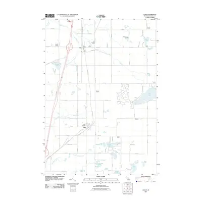 2011 Le Roy2011 Print · USGSOsceola County at the start of the 2010s shows a landscape defined by the transition from rail to trail and its many glacial lakes. Genealogists can locate family sites near Maple Hill Cemetery or Tustin, while others can trace the White Pine Trl past landmarks like Noggle School.
 - 2011 Map of Reed City North, 2011 Print
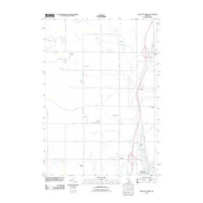 2011 Reed City North2011 Print · USGSOsceola County at the start of the 2010s shows a landscape of small settlements and river valleys shaped by the Hersey and Little Manistee. Genealogists can locate family sites across several rural grounds including German Cemetery, Ashton Cemetery, and Wilson Cemetery.
 - 2011 Map of Slaybaugh Corner, 2011 Print
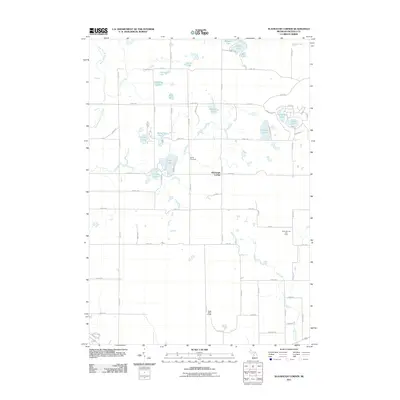 2011 Slaybaugh Corner2011 Print · USGSThe rural crossroads of Osceola County are captured here just after the turn of the millennium, showing a landscape defined by glacial lakes and sectional farming. Researchers can locate Bethel Cemetery, the Cedar Oil and Gas Field, and the Eagle Boys Village.
 - 2012 Map of Bristol, 2012 Print
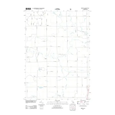 2012 Bristol2012 Print · USGSLake County's rural river country is captured here during the early twenty-first century, showing a landscape defined by forest and the Pine River system. Researchers can locate the Harman School, three different cemeteries including Bristol Cem, and the small community of Edgetts.
 - 2014 Map of Reed City North, 2014 Print
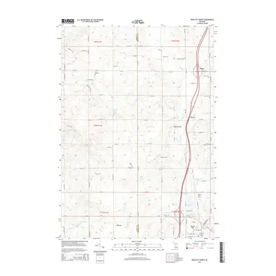 2014 Reed City North2014 Print · USGSOsceola County at the start of the 2010s shows a landscape of river-fed valleys and quiet settlements. Researchers can trace rural lineages through numerous burial sites like Pinora Cem or locate the historic northern edges of Reed City and Ashton.
Showing maps 1-25 of 40
Top cities near Leroy Township
- Cadillac historical maps
- Haring Township historical maps
- Reed City historical maps
- Evart historical maps
- Chase historical maps
- Hersey historical maps
See more
Top neighborhoods of Leroy Township
Frequently asked questions
- What are the different types of historical maps available for Leroy Township?
- What is the oldest map of Leroy Township?
- Where can I purchase historical maps of Leroy Township for my home or office?
- Where can I download high-res historical maps of Leroy Township?
- Are there historical topographic maps available for Leroy Township?
- Is there historical aerial imagery available for Leroy Township?
- Where are historical maps of Leroy Township sourced from?