Old Maps of Corwith Township, Michigan for Genealogy
Trace your family roots with 54 historic maps of Corwith Township. These high-res maps reveal old neighborhoods, homesites, landmarks, and streets — helping you uncover where your ancestors lived and how the area evolved over time.
- Explore historic neighborhoods: Identify where your relatives may have lived in the 1800s or 1900s.
- Compare maps over time: Trace the changes in streets, buildings, and landmarks for multi-generational research.
- Perfect for genealogy & ancestry research: Used by family historians and researchers to map out lineage and migration.
These maps are an incredible resource for exploring your personal connection to Corwith Township's past.
Corwith Township, MI maps
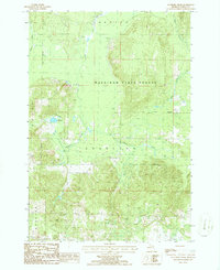
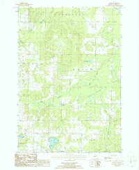
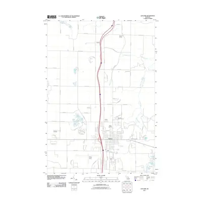
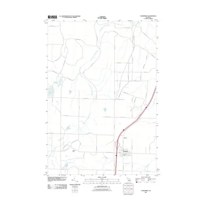
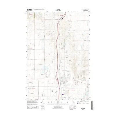
(54)- 1954 Map of Gaylord
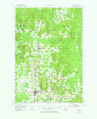 1954 Gaylord1954 Print · USGSOtsego County's transition into a modern recreational and transit hub is evident in the mid-fifties, centered on the growing community of Gaylord. Genealogists and historians can locate several legacy sites, from Vanderbilt Cem to numerous rural schools like McCoy Sch.3 unique versions available
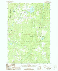
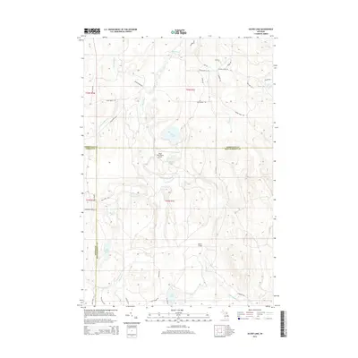
 - 1954 Map of Hetherton, 1956 Print
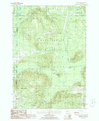
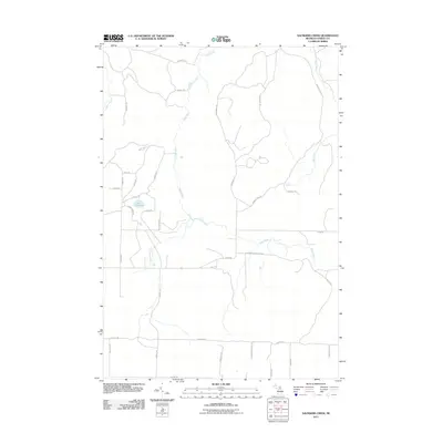
 1954 Hetherton1956 Print · USGSNorthern Michigan’s sprawling timberlands are captured here in the mid-fifties, showing a landscape of state forests and quiet lakes. Researchers can trace the rural infrastructure of Hetherton, the Metzger Sch, and remote landmarks like the Pigeon River Lookout Tower.4 unique versions available
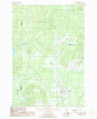
 - 1955 Map of Cheboygan, 1964 Print
 1955 Cheboygan1964 Print · USGSNorthern Michigan in the mid-fifties is a landscape of dense timber and deep water, showing the region just as the road network began to modernize. Trace family roots in lakeside towns like St Ignace and Petoskey, or follow the historic tracks of the Pennsylvania RR and New York Central RR.5 unique versions available
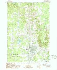
 - 1958 Map of Cheboygan
 1958 Cheboygan1958 Print · USGSThe tip of Michigan's Lower Peninsula and the surrounding Great Lakes islands are shown here in the late fifties, during the peak of the rail-and-ferry era. Trace the paths of the Pennsylvania RR and explore lakeside settlements like St James, Petoskey, and Indian River.2 unique versions available
 - 1975 Map of Gaylord SW, 1976 Print
 1975 Gaylord SW1976 Print · USGSOtsego County's transition from rural timberland to a regional hub is visible in this mid-seventies aerial survey. Genealogists and local historians can trace the precise development of the Gaylord townsite and the surrounding network of forest roads and clearings.
 - 1982 Map of Petoskey
 1982 Petoskey1982 Print · USGSNorthern Michigan in the early eighties shows a landscape of deep timber and vast inland lakes. Genealogists and historians can trace the rail corridors of the Michigan Central and Detroit and Mackinac between Petoskey, Gaylord, and Wolverine.
 - 1986 Map of Silver Lake
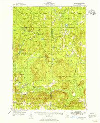
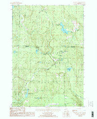
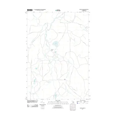
 1986 Silver Lake1986 Print · USGSThe dense forests of Northern Michigan come alive in this mid-eighties survey of the tri-county border between Cheboygan, Otsego, and Montmorency. Trace the legacy of timber and transit along the Old Railroad Grade or explore the waters of Silver Lake and the Foch Lakes Flooding.2 unique versions available
 - 1986 Map of Saunders Creek
 1986 Saunders Creek1986 Print · USGSOtsego County's forested interior is captured here in the mid-1980s, showcasing the intersection of the Pigeon River and Black River. Researchers can trace the wooded boundaries of Mackinaw State Forest and locate specific features like Lake Nineteen or the secluded Pumping Station.
 - 1986 Map of Green Timbers
 1986 Green Timbers1986 Print · USGSIn the mid-1980s, these northern Michigan woodlands were defined by the waters of the Sturgeon and Pigeon Rivers. Researchers can locate the small settlements of Trowbridge and Blackjack, and trace local landmarks like the Covered Bridge and Wildwood Lake.
 - 1986 Map of Vanderbilt
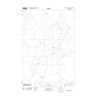
 1986 Vanderbilt1986 Print · USGSThe village of Vanderbilt and the surrounding timberlands of the Mackinaw State Forest are captured here in the mid-1980s. Genealogists and local historians can trace the Old Railroad Grade, locate the village Cem, and explore the shores of Thumb Lake.
 - 1986 Map of Gaylord
 1986 Gaylord1986 Print · USGSNorthern Michigan in the mid-eighties shows a growing hub at Gaylord surrounded by the vast Mackinaw State Forest. Researchers can trace old transportation routes along the Old Railroad Grade or locate family sites near Cem and Irontone Springs.2 unique versions available
 - 1986 Map of Hetherton
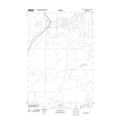
 1986 Hetherton1986 Print · USGSMontmorency County during the mid-eighties remains a landscape of deep woods and historic timber paths within the Mackinaw State Forest. Researchers can trace the heritage of the timber era via the Old Railroad Grade or locate family landmarks near Hetherton and Gingell Lake.
 - 1986 Map of Hardwood Lake
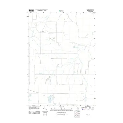
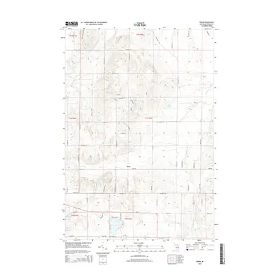
 1986 Hardwood Lake1986 Print · USGSIn the mid-eighties, the border of Otsego and Cheboygan counties remained a primitive wilderness of state forests and managed waterways. Trace the Old Railroad Grade and High Country Pathway past landmarks like Hardwood L and the Paul Bunyan Punch Bowl.2 unique versions available
 - 1986 Map of Sparr
 1986 Sparr1986 Print · USGSThe Otsego County highlands in the mid-eighties show a landscape defined by the Pigeon River and numerous glacial lakes. Genealogists and hikers can trace the Old RR Grade and find historic sites near Sparr and the shores of Big Lake.
 - 2011 Map of Hetherton, 2011 Print
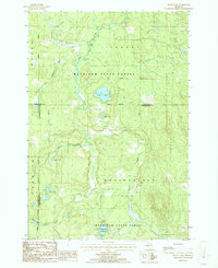
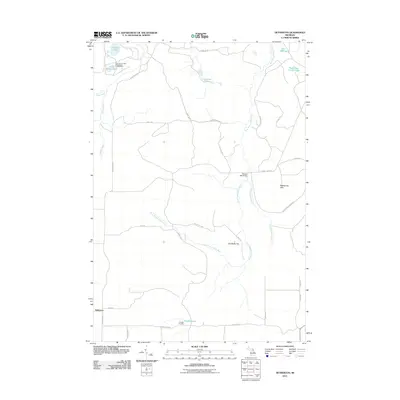 2011 Hetherton2011 Print · USGSCovers Corwith Township, including Hetherton, Vienna Township, and other nearby areas
 - 2011 Map of Gaylord, 2011 Print
 2011 Gaylord2011 Print · USGSCovers Corwith Township, including Gaylord, Elmira Township, and other nearby areas
 - 2011 Map of Sparr, 2011 Print
 2011 Sparr2011 Print · USGSCovers Corwith Township, including Chester Township, Dover Township, and other nearby areas
 - 2011 Map of Green Timbers, 2011 Print
 2011 Green Timbers2011 Print · USGSCovers Corwith Township, including Wilmot Township, Green Timbers, and other nearby areas
 - 2011 Map of Hardwood Lake, 2011 Print
 2011 Hardwood Lake2011 Print · USGSCovers Corwith Township, including Nunda Township, Otsego County, and other nearby areas
 - 2011 Map of Vanderbilt, 2011 Print
 2011 Vanderbilt2011 Print · USGSCovers Corwith Township, including Vanderbilt, Chandler Township, and other nearby areas
 - 2011 Map of Saunders Creek, 2011 Print
 2011 Saunders Creek2011 Print · USGSCovers Corwith Township, including Chester Township, Dover Township, and other nearby areas
 - 2011 Map of Silver Lake, 2011 Print
 2011 Silver Lake2011 Print · USGSCovers Corwith Township, including Montmorency Township, Nunda Township, and other nearby areas
 - 2014 Map of Sparr, 2014 Print
 2014 Sparr2014 Print · USGSCovers Corwith Township, including Chester Township, Dover Township, and other nearby areas
 - 2014 Map of Gaylord, 2014 Print
 2014 Gaylord2014 Print · USGSCovers Corwith Township, including Gaylord, Elmira Township, and other nearby areas
 - 2014 Map of Silver Lake, 2014 Print
 2014 Silver Lake2014 Print · USGSCovers Corwith Township, including Montmorency Township, Nunda Township, and other nearby areas
Showing maps 1-25 of 54
Top cities near Corwith Township
Top neighborhoods of Corwith Township
Frequently asked questions
- What are the different types of historical maps available for Corwith Township?
- What is the oldest map of Corwith Township?
- Where can I purchase historical maps of Corwith Township for my home or office?
- Where can I download high-res historical maps of Corwith Township?
- Are there historical topographic maps available for Corwith Township?
- Is there historical aerial imagery available for Corwith Township?
- Where are historical maps of Corwith Township sourced from?