Old Maps of Allis Township, Michigan for Hiking & Exploration
Hike through history with 29 historic maps of Allis Township. Explore old trails, ghost towns, and forgotten backroads — perfect for outdoor adventurers and local explorers.
- Rediscover forgotten places: Map out old mining camps, roads, and footpaths that no longer exist on modern maps.
- Layer with modern tools: Combine with LiDAR or satellite views to plan hikes through historical terrain.
- Made for exploration: Popular among hikers, overlanders, and local history lovers.
Use these maps to find adventure and explore the hidden past of Allis Township.
Allis Township, MI maps
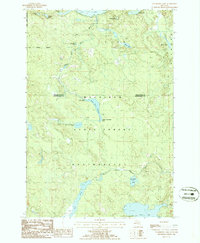
(29)- 1955 Map of Atlanta, 1956 Print
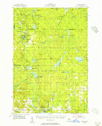 1955 Atlanta1956 Print · USGSMontmorency County is mapped here in the mid-fifties, showing a landscape of state forests and quiet settlements before modern development. Genealogists and researchers can trace local landmarks like Pleasant Valley Ch, Avery Cem, and the Edwards Sch (Abandoned).3 unique versions available
 - 1955 Map of Cheboygan, 1964 Print
 1955 Cheboygan1964 Print · USGSNorthern Michigan in the mid-fifties is a landscape of dense timber and deep water, showing the region just as the road network began to modernize. Trace family roots in lakeside towns like St Ignace and Petoskey, or follow the historic tracks of the Pennsylvania RR and New York Central RR.5 unique versions available
 - 1957 Map of Onaway, 1959 Print
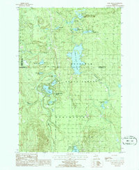
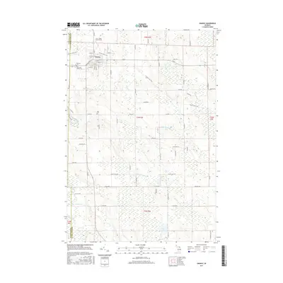
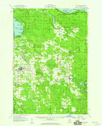 1957 Onaway1959 Print · USGSNorthern Michigan's timber and rail country is captured here in the late fifties, centered on the community of Onaway. Genealogists and historians can trace the Detroit and Mackinac railroad line, find old schools like Vibber Sch, and locate family plots in North Allis Cem.2 unique versions available
 - 1958 Map of Cheboygan
 1958 Cheboygan1958 Print · USGSThe tip of Michigan's Lower Peninsula and the surrounding Great Lakes islands are shown here in the late fifties, during the peak of the rail-and-ferry era. Trace the paths of the Pennsylvania RR and explore lakeside settlements like St James, Petoskey, and Indian River.2 unique versions available
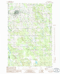
 - 1982 Map of Petoskey
 1982 Petoskey1982 Print · USGSNorthern Michigan in the early eighties shows a landscape of deep timber and vast inland lakes. Genealogists and historians can trace the rail corridors of the Michigan Central and Detroit and Mackinac between Petoskey, Gaylord, and Wolverine.
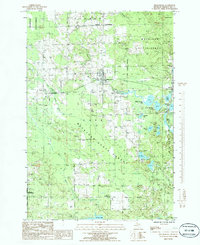
 - 1986 Map of Onaway
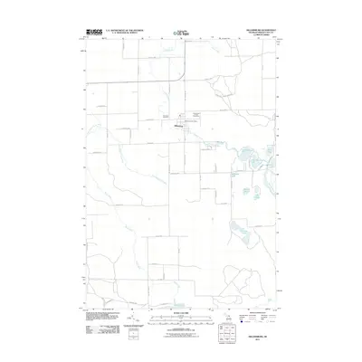
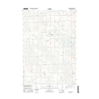
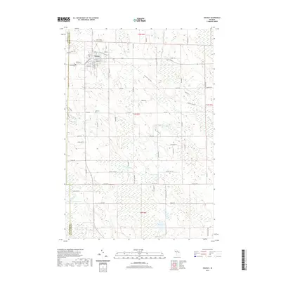
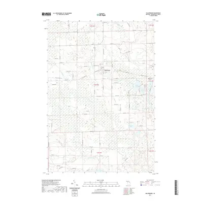
 1986 Onaway1986 Print · USGSIn the mid-1980s, the northern Michigan community of Onaway sat at the edge of the sprawling Mackinaw State Forest. Researchers can trace the path of an Abandoned Railroad or locate local landmarks like Loon Lake and the Cem near the county line.
 - 1986 Map of Millersburg
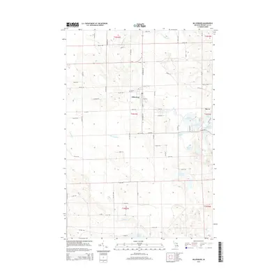
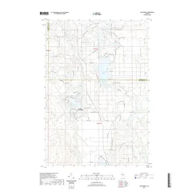
 1986 Millersburg1986 Print · USGSPresque Isle County in the mid-1980s is shown here as a dense network of state forests and inland lakes centered on the village of Millersburg. Trace old rural infrastructure and shoreline properties at Lake Nettie, Rainy Lake, and the locality of Big Cut.
 - 1986 Map of Cranberry Lake
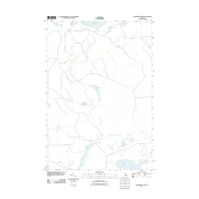
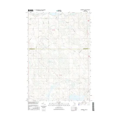
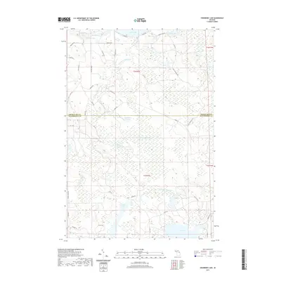
 1986 Cranberry Lake1986 Print · USGSMontmorency and Presque Isle counties are captured in the mid-1980s as a densely forested lake district within the Mackinaw State Forest. Researchers can trace the water flow from the Rainy River Dam through the Rainy River Flooding and locate remote features like the northern Landing Strip (Pvt).
 - 1986 Map of Lake Geneva
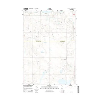
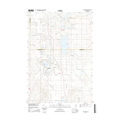
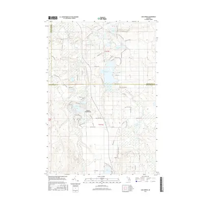
 1986 Lake Geneva1986 Print · USGSMontmorency County and the surrounding state forest lands are shown here in the mid-eighties as a pristine network of glacial lakes and managed timber. You can trace the boundaries of Canada Creek Ranch or locate campsites at Clear Lake State Park and Shoepac Lake.
 - 2011 Map of Lake Geneva, 2011 Print
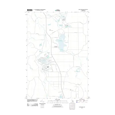 2011 Lake Geneva2011 Print · USGSCovers Allis Township, including Canada Creek Ranch, Montmorency Township, and other nearby areas
 - 2011 Map of Onaway, 2011 Print
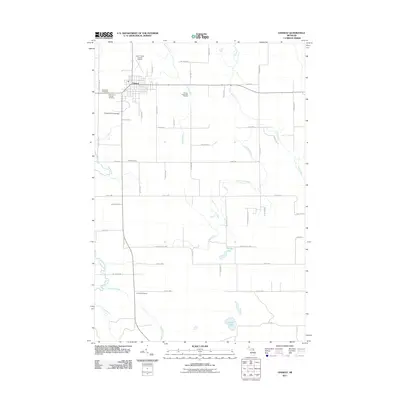 2011 Onaway2011 Print · USGSCovers Allis Township, including Onaway, Case Township, and other nearby areas
 - 2011 Map of Cranberry Lake, 2011 Print
 2011 Cranberry Lake2011 Print · USGSCovers Allis Township, including Case Township, Montmorency Township, and other nearby areas
 - 2011 Map of Millersburg, 2011 Print
 2011 Millersburg2011 Print · USGSCovers Allis Township, including Millersburg, Moltke Township, and other nearby areas
 - 2014 Map of Onaway, 2014 Print
 2014 Onaway2014 Print · USGSCovers Allis Township, including Onaway, Case Township, and other nearby areas
 - 2014 Map of Cranberry Lake, 2014 Print
 2014 Cranberry Lake2014 Print · USGSCovers Allis Township, including Case Township, Montmorency Township, and other nearby areas
 - 2014 Map of Millersburg, 2014 Print
 2014 Millersburg2014 Print · USGSCovers Allis Township, including Millersburg, Moltke Township, and other nearby areas
 - 2014 Map of Lake Geneva, 2014 Print
 2014 Lake Geneva2014 Print · USGSCovers Allis Township, including Canada Creek Ranch, Montmorency Township, and other nearby areas
 - 2017 Map of Millersburg, 2017 Print
 2017 Millersburg2017 Print · USGSCovers Allis Township, including Millersburg, Moltke Township, and other nearby areas
 - 2017 Map of Onaway, 2017 Print
 2017 Onaway2017 Print · USGSCovers Allis Township, including Onaway, Case Township, and other nearby areas
 - 2017 Map of Cranberry Lake, 2017 Print
 2017 Cranberry Lake2017 Print · USGSCovers Allis Township, including Case Township, Montmorency Township, and other nearby areas
 - 2017 Map of Lake Geneva, 2017 Print
 2017 Lake Geneva2017 Print · USGSCovers Allis Township, including Canada Creek Ranch, Montmorency Township, and other nearby areas
 - 2019 Map of Onaway, 2019 Print
 2019 Onaway2019 Print · USGSCovers Allis Township, including Onaway, Case Township, and other nearby areas
 - 2019 Map of Lake Geneva, 2019 Print
 2019 Lake Geneva2019 Print · USGSCovers Allis Township, including Canada Creek Ranch, Montmorency Township, and other nearby areas
 - 2019 Map of Cranberry Lake, 2019 Print
 2019 Cranberry Lake2019 Print · USGSCovers Allis Township, including Case Township, Montmorency Township, and other nearby areas
 - 2019 Map of Millersburg, 2019 Print
 2019 Millersburg2019 Print · USGSCovers Allis Township, including Millersburg, Moltke Township, and other nearby areas
Showing maps 1-25 of 29
Top cities near Allis Township
- Onaway historical maps
- Ocqueoc historical maps
- Canada Creek Ranch historical maps
- Millersburg historical maps
Frequently asked questions
- What are the different types of historical maps available for Allis Township?
- What is the oldest map of Allis Township?
- Where can I purchase historical maps of Allis Township for my home or office?
- Where can I download high-res historical maps of Allis Township?
- Are there historical topographic maps available for Allis Township?
- Is there historical aerial imagery available for Allis Township?
- Where are historical maps of Allis Township sourced from?