Old Maps of Lake Township, Michigan for Genealogy
Trace your family roots with 29 historic maps of Lake Township. These high-res maps reveal old neighborhoods, homesites, landmarks, and streets — helping you uncover where your ancestors lived and how the area evolved over time.
- Explore historic neighborhoods: Identify where your relatives may have lived in the 1800s or 1900s.
- Compare maps over time: Trace the changes in streets, buildings, and landmarks for multi-generational research.
- Perfect for genealogy & ancestry research: Used by family historians and researchers to map out lineage and migration.
These maps are an incredible resource for exploring your personal connection to Lake Township's past.
Lake Township, MI maps
(29)- 1954 Map of Traverse City, 1965 Print
 1954 Traverse City1965 Print · USGSNorthern Michigan’s vast lakeshores and timberlands are captured here in the mid-fifties, showing the region before the modern interstate era. Genealogists and researchers can trace rail connections like the Detroit and Mackinac RR or find old communities such as Suttons Bay, Elk Rapids, and Prudenville.4 unique versions available
 - 1956 Map of Houghton Lake, 1958 Print
 1956 Houghton Lake1958 Print · USGSHoughton Lake and its surrounding marshlands are shown here in the mid-fifties, just as tourism and conservation efforts were reshaping the region. Genealogists can trace family names at Star City Cem and Butterfield Cem or locate the site of the Anderson Sch (Abandoned).3 unique versions available
 - 1958 Map of Traverse City
 1958 Traverse City1958 Print · USGSNorthern Lower Michigan was a landscape of vast state forests and burgeoning lakeside retreats in the late fifties. Genealogists and historians can trace the rail corridors of the Ann Arbor RR and find established settlements from Elk Rapids to Houghton Lake.2 unique versions available
 - 1963 Map of Prudenville, 1964 Print
 1963 Prudenville1964 Print · USGSPrudenville and the southeastern shores of Houghton Lake are captured here during the mid-1960s, showing a landscape of lakeside growth and forest preserves. Genealogists and researchers can locate family sites near Prudenville Cem, Lake James, and the North Shore Sch.2 unique versions available
 - 1963 Map of Lyon Manor, 1964 Print
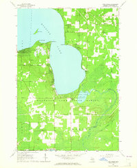 1963 Lyon Manor1964 Print · USGSHiggins Lake and the surrounding Roscommon County woodlands are captured here in the early 1960s. Genealogists and local historians can trace the growth of Lyon Manor or locate historic landmarks like the Township Cem, Markey Ch, and Sharps Corners.3 unique versions available
 - 1983 Map of Meads Landing, 1984 Print
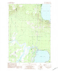 1983 Meads Landing1984 Print · USGSUpper Michigan's lake country in the early eighties shows a landscape of state forests and sprawling wetlands between the Great Lakes. You can locate family history at Heidemann Cem, trace the oil production at the Enterprise Oil Field, or find old river crossings near the Covered Bridge.
 - 1983 Map of Houghton Lake, 1984 Print
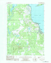 1983 Houghton Lake1984 Print · USGSHoughton Lake and its surrounding wetlands are shown in detail during the early 1980s as the area balanced recreation with state forest management. Researchers can trace local development in Houghton Lake Heights, find the Township Cem, or locate the inland settlement of Nellsville.2 unique versions available
 - 1983 Map of Houghton Lake, 1984 Print
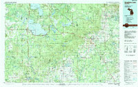 1983 Houghton Lake1984 Print · USGSIn the early 1980s, the Michigan heartland around Houghton Lake was a patchwork of state forest and growing lakeside resorts. Genealogists and historians can trace the development of communities like West Branch and Rose City alongside landmarks like Roscommon County Airfield.
 - 1989 Map of Traverse City, 1990 Print
 1989 Traverse City1990 Print · USGSNorthern Michigan’s lake-country and forest lands are captured in the late eighties as seasonal tourism and timber hubs expanded. Genealogists and historians can trace the routes of the Ann Arbor RR, the boundaries of Camp Grayling, and settlements like Elk Rapids and Manton.
 - 2011 Map of Prudenville, 2011 Print
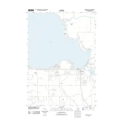 2011 Prudenville2011 Print · USGSThe southeastern shores of Houghton Lake are captured here in the early twenty-first century as the area transitioned into a year-round community. Researchers can trace local landmarks like Prudenville Cemetery, Roscommon County Airport, and the grounds of Camp Co Be Ac.
 - 2011 Map of Houghton Lake, 2011 Print
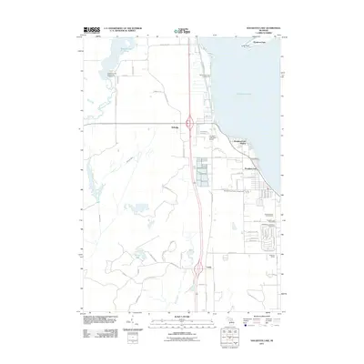 2011 Houghton Lake2011 Print · USGSHoughton Lake's western shoreline and the surrounding lowlands are captured here in the early twenty-first century. Researchers can trace local history through the Roscommon Township Cemetery, Anderson School, and the Houghton Lake Post Office.
 - 2011 Map of Lyon Manor, 2011 Print
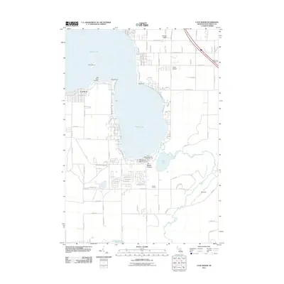 2011 Lyon Manor2011 Print · USGSHiggins Lake and its surrounding communities were well-established as a premier Michigan recreational destination by the early twenty-first century. Genealogists and local historians can trace shoreline developments at Lyon Manor and locate family plots at Markey Cemetery or Gerrish Township Cemetery.
 - 2011 Map of Meads Landing, 2011 Print
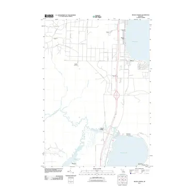 2011 Meads Landing2011 Print · USGSUpper Michigan's lake country is captured here during the early twenty-first century, showing the corridor between two major water bodies. Researchers can trace local landmarks like the Higgins Lake Post Office, the East Norwich Oil Field, and the Michelson settlement.
 - 2014 Map of Prudenville, 2014 Print
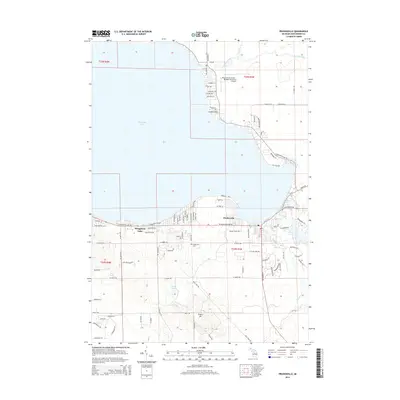 2014 Prudenville2014 Print · USGSThe southeastern shores of Michigan's largest inland lake are shown here in the mid-2010s, centered on the community of Prudenville. Researchers can trace the development of lakeside neighborhoods at Songers Point or locate family sites near Prudenville Cem and Lake James.
 - 2014 Map of Lyon Manor, 2014 Print
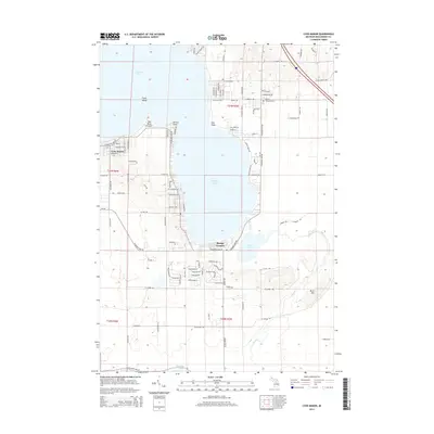 2014 Lyon Manor2014 Print · USGSHiggins Lake and its surrounding residential communities are captured here in the early 2000s. Researchers can trace local development in Lyon Manor or locate family sites at Gerrish Township Cem and Markey Cem near Sharps Corners.
 - 2014 Map of Houghton Lake, 2014 Print
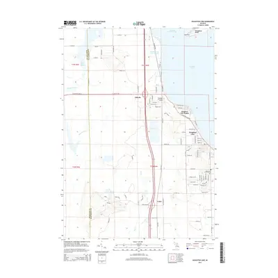 2014 Houghton Lake2014 Print · USGSHoughton Lake and its western wetlands are captured here in the early twenty-first century as the local communities expanded along the shoreline. Researchers can trace family sites near Roscommon Township Cemetery or locate landmarks like Houghton Lake State Airport and Nellsville.
 - 2014 Map of Meads Landing, 2014 Print
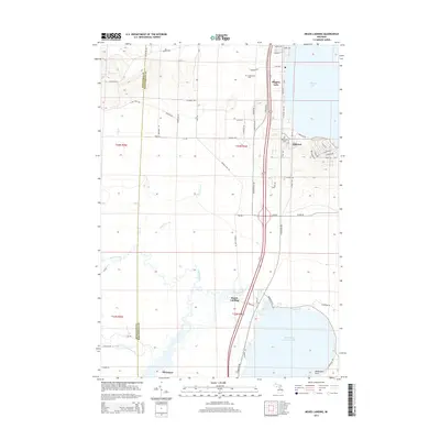 2014 Meads Landing2014 Print · USGSHiggins Lake and the upper Muskegon River basin are documented here in the early twenty-first century, showing the balance of resort development and natural wetlands. Researchers can trace local history through Oakwood Cem, the settlement of Michelson, and the shoreline of North Bay Houghton Lake.
 - 2017 Map of Meads Landing, 2017 Print
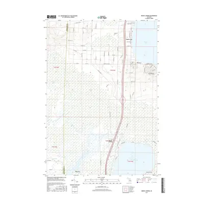 2017 Meads Landing2017 Print · USGSUpper Michigan's wetland wilderness is captured here in the late twenty-tens, where the county line divides dense marshes from lakeside settlements. Genealogists and outdoor historians can trace the sites of Meads Landing, the riverside community of Michelson, and local burials at Heidemann Cem.
 - 2017 Map of Prudenville, 2017 Print
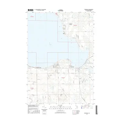 2017 Prudenville2017 Print · USGSThe Houghton Lake shoreline at Prudenville was a bustling hub of residential and recreational activity by the late 2010s. Local researchers can trace the growth of Prudenville neighborhoods and locate landmarks like the Prudenville Cem and Emery Hill.
 - 2017 Map of Lyon Manor, 2017 Print
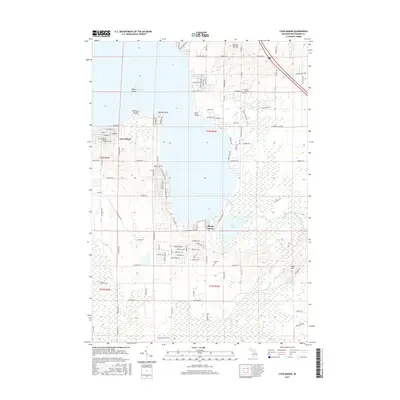 2017 Lyon Manor2017 Print · USGSHiggins Lake and its surrounding resort communities are shown here in the late twenty-tens, capturing the modern layout of this central Michigan getaway. Researchers can trace lakeside property lines in Lyon Manor or locate family plots at Gerrish Township Cem and Markey Cem.
 - 2017 Map of Houghton Lake, 2017 Print
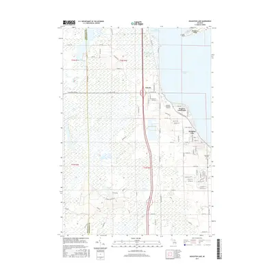 2017 Houghton Lake2017 Print · USGSHoughton Lake and its sprawling western wetlands are captured here in the late twenty-teens. Researchers can trace the development of Houghton Lake Heights and locate the Roscommon Township Cem near the headwaters of the Muskegon River.
 - 2019 Map of Lyon Manor, 2019 Print
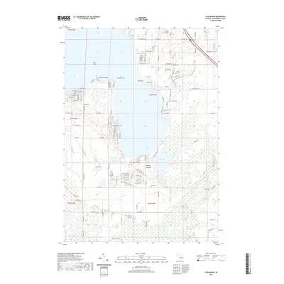 2019 Lyon Manor2019 Print · USGSCovers Lake Township, including Markey Township, Sharps Corners, and other nearby areas
 - 2019 Map of Houghton Lake, 2019 Print
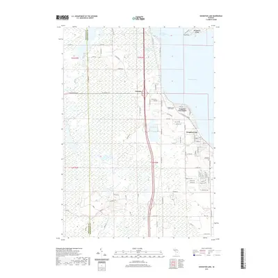 2019 Houghton Lake2019 Print · USGSThe western shores of Michigan's largest inland lake are captured here during a period of modern development and wetland conservation. Researchers can locate the Roscommon Township Cem and trace aviation history at the Houghton Lake State Airport.
 - 2019 Map of Meads Landing, 2019 Print
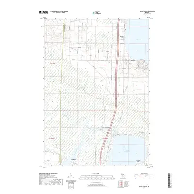 2019 Meads Landing2019 Print · USGSHiggins Lake and the surrounding wetlands of Roscommon and Missaukee Counties are shown here in modern detail. Trace the course of the Muskegon River through the Dead Stream Swamp or locate local landmarks like Oakwood Cem and the settlement of Michelson.
 - 2019 Map of Prudenville, 2019 Print
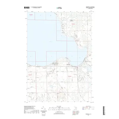 2019 Prudenville2019 Print · USGSHoughton Lake's southeastern shore comes into focus in this late-decade survey of Roscommon County. Researchers can trace local lineage at the Prudenville Cem or locate regional aviation history at the Roscommon County Blodgett Memorial Airport.
Showing maps 1-25 of 29
Top cities near Lake Township
- Houghton Lake historical maps
- Prudenville historical maps
- Roscommon historical maps
- Butterfield historical maps
Top neighborhoods of Lake Township
Frequently asked questions
- What are the different types of historical maps available for Lake Township?
- What is the oldest map of Lake Township?
- Where can I purchase historical maps of Lake Township for my home or office?
- Where can I download high-res historical maps of Lake Township?
- Are there historical topographic maps available for Lake Township?
- Is there historical aerial imagery available for Lake Township?
- Where are historical maps of Lake Township sourced from?