2000s (21st Century) Maps of East China Charter Township, Michigan
Explore 20 historic maps of East China Charter Township from the 2000s (21st Century). These maps offer a rare glimpse into what life looked like during the 2000s — showing old roads, neighborhoods, homes, and landmarks that have changed or disappeared over time.
Whether you're researching your family's past, planning a metal detecting trip, or studying how East China Charter Township's landscape evolved across the 2000s, these high-resolution maps are a powerful tool for exploring the history of this region.
- Focus on a specific era: All maps on this page are from the 2000s, giving you a focused view of this time period.
- See what’s changed: Compare century-old streets, trails, and buildings to today's modern landscape using overlays and satellite layers.
- Research with precision: Use these maps for genealogy, historical research, land use analysis, or educational projects.
- View, download, or print: Maps are fully viewable online in high resolution, and can be downloaded or printed for your own records.
Start exploring East China Charter Township's history through authentic maps from the 2000s. This is your window into the past.
East China Charter Township, MI maps
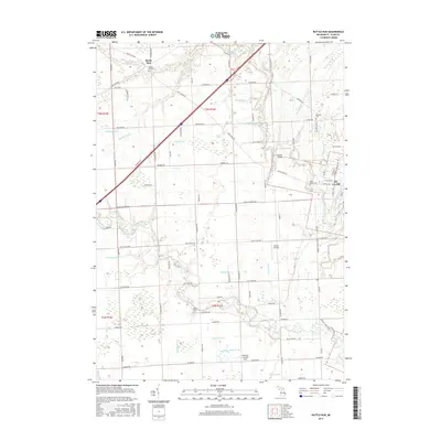
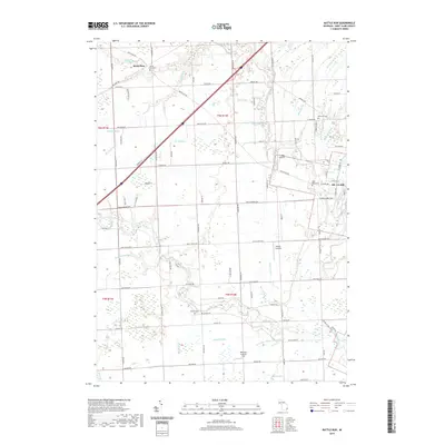
(20)- 2011 Map of Rattle Run, 2011 Print
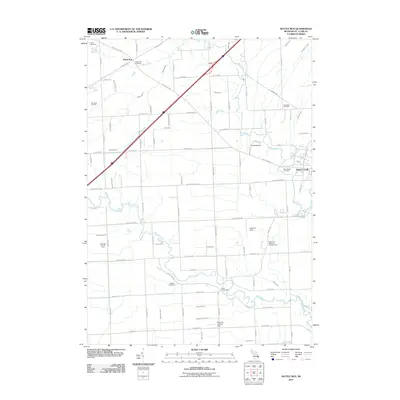 2011 Rattle Run2011 Print · USGSCovers East China Charter Township, including Saint Clair, Columbus Township, and other nearby areas
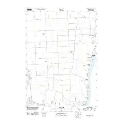
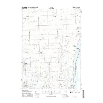
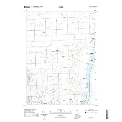
 - 2011 Map of Marine City OE E, 2011 Print
 2011 Marine City OE E2011 Print · USGSCovers East China Charter Township, including St. Clair, Marine City, and other nearby areas
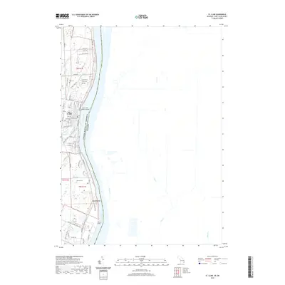
 - 2011 Map of St. Clair, 2011 Print
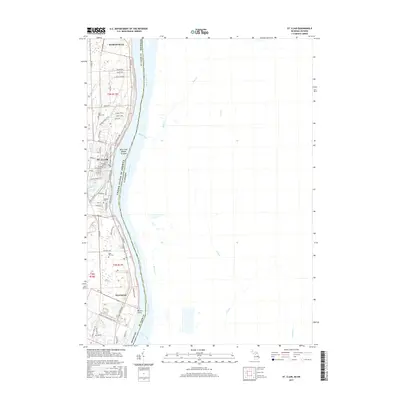
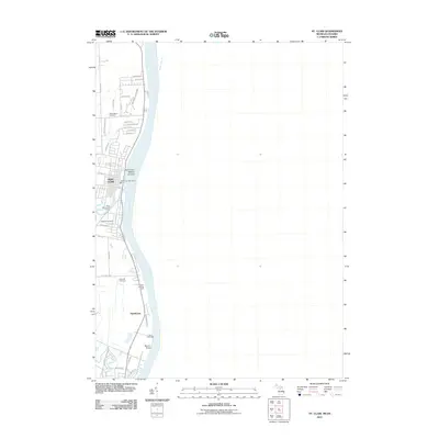 2011 St. Clair2011 Print · USGSCovers East China Charter Township, including St. Clair, Marysville, and other nearby areas
 - 2011 Map of Marine City, 2011 Print
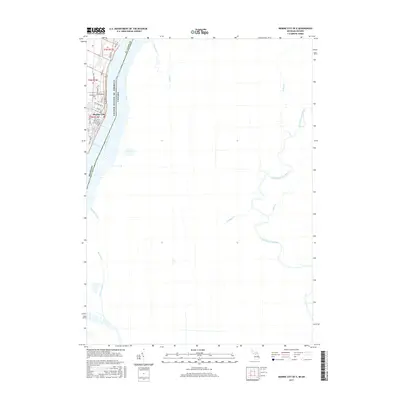
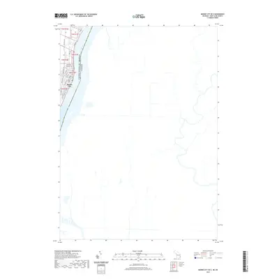
 2011 Marine City2011 Print · USGSCovers East China Charter Township, including St. Clair, Algonac, and other nearby areas
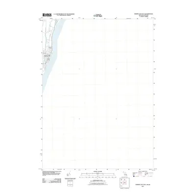
 - 2014 Map of Marine City, 2014 Print
 2014 Marine City2014 Print · USGSCovers East China Charter Township, including St. Clair, Algonac, and other nearby areas
 - 2014 Map of St. Clair, 2014 Print
 2014 St. Clair2014 Print · USGSCovers East China Charter Township, including St. Clair, Marysville, and other nearby areas
 - 2014 Map of Rattle Run, 2014 Print
 2014 Rattle Run2014 Print · USGSCovers East China Charter Township, including Saint Clair, Columbus Township, and other nearby areas
 - 2014 Map of Marine City OE E, 2014 Print
 2014 Marine City OE E2014 Print · USGSCovers East China Charter Township, including St. Clair, Marine City, and other nearby areas
 - 2017 Map of Rattle Run, 2017 Print
 2017 Rattle Run2017 Print · USGSCovers East China Charter Township, including Saint Clair, Columbus Township, and other nearby areas
 - 2017 Map of Marine City, 2017 Print
 2017 Marine City2017 Print · USGSCovers East China Charter Township, including St. Clair, Algonac, and other nearby areas
 - 2017 Map of St. Clair, 2017 Print
 2017 St. Clair2017 Print · USGSCovers East China Charter Township, including St. Clair, Marysville, and other nearby areas
 - 2017 Map of Marine City OE E, 2017 Print
 2017 Marine City OE E2017 Print · USGSCovers East China Charter Township, including St. Clair, Marine City, and other nearby areas
 - 2019 Map of Marine City OE E, 2019 Print
 2019 Marine City OE E2019 Print · USGSCovers East China Charter Township, including St. Clair, Marine City, and other nearby areas
 - 2019 Map of St. Clair, 2019 Print
 2019 St. Clair2019 Print · USGSCovers East China Charter Township, including St. Clair, Marysville, and other nearby areas
 - 2019 Map of Rattle Run, 2019 Print
 2019 Rattle Run2019 Print · USGSCovers East China Charter Township, including Saint Clair, Columbus Township, and other nearby areas
 - 2019 Map of Marine City, 2019 Print
 2019 Marine City2019 Print · USGSCovers East China Charter Township, including St. Clair, Algonac, and other nearby areas
 - 2023 Map of Rattle Run, 2023 Print
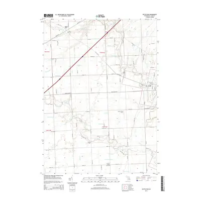
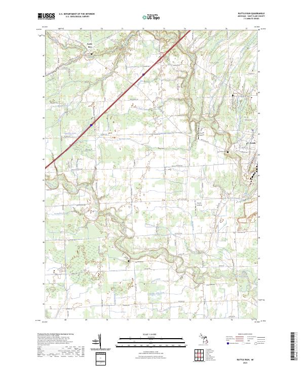 2023 Rattle Run2023 Print · USGSSt. Clair and its rural western townships are shown in the twenty-first century as the landscape balances its riverfront roots with modern growth. Genealogists and historians can trace family locations near Rattle Run Cem, Crystal Airport, and the Belle River.
 - 2023 Map of Marine City OE E, 2023 Print
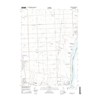
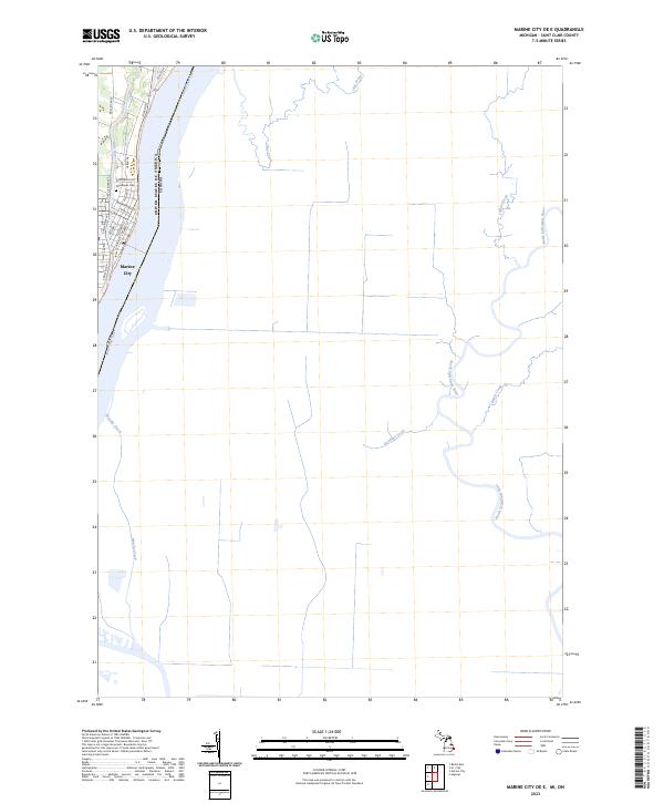 2023 Marine City OE E2023 Print · USGSThe international border along the Saint Clair River comes into focus in this recent survey of the Michigan shoreline. Genealogists can trace local landmarks in Marine City including Woodlawn Cem and the riverfront street grid from S Main St to River Rd.
 - 2023 Map of Marine City, 2023 Print
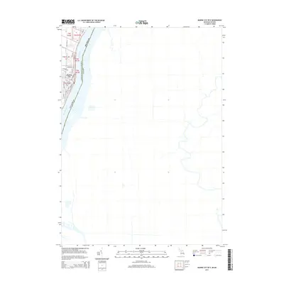
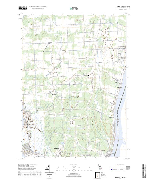 2023 Marine City2023 Print · USGSSt. Clair County's riverfront communities and inland drainage networks are detailed in this contemporary study. Genealogists can trace family sites at Holy Cross Cem and Maple Grove Cem or locate old settlements like Starville and Roberts Landing.
 - 2023 Map of St. Clair, 2023 Print
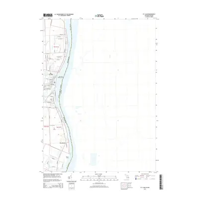
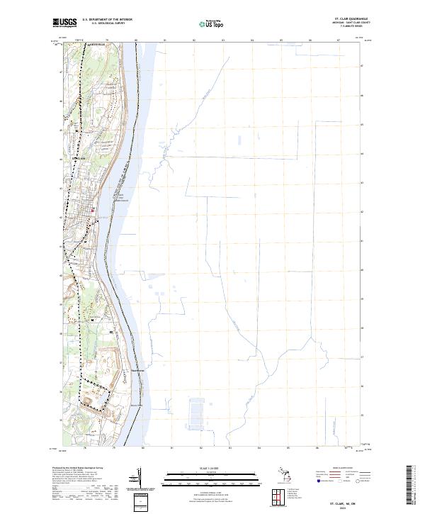 2023 St. Clair2023 Print · USGSThe riverfront between Marysville and St. Clair is documented here at the international border. Genealogists can trace family plots at Saint Marys Cem and Rose Hill Cem, or locate riverside homes near Hawthorne and Recors Point.
End of results
Showing maps 1-20 of 20
Top cities near East China Charter Township
- Port Huron historical maps
- New Baltimore historical maps
- Marysville historical maps
- Kimball historical maps
- West Tappan historical maps
- Saint Clair historical maps
See more
Top neighborhoods of East China Charter Township
Frequently asked questions
- What are the different types of historical maps available for East China Charter Township?
- What is the oldest map of East China Charter Township?
- Where can I purchase historical maps of East China Charter Township for my home or office?
- Where can I download high-res historical maps of East China Charter Township?
- Are there historical topographic maps available for East China Charter Township?
- Is there historical aerial imagery available for East China Charter Township?
- Where are historical maps of East China Charter Township sourced from?