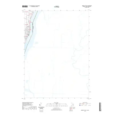
2019 Map of Marine City OE E
USGS Topo · Published 2019About this map
Marine City serves as a focal point of this riverfront survey, positioned along the western bank where the Belle River joins the larger St. Clair River. This confluence defines the town's geography, with the historic town plat organized around streets such as N Main St, Elizabeth St, and S Market St. The boundary between the United States of America and Canada runs through the center of the deep-water shipping channel, marking an international border that has shaped local life for centuries. North of the town center, Woodlawn Cemetery is a significant site for genealogical research, while the surrounding roads like Belle River Rd and River Rd reflect the established travel corridors following the water's edge. The map captures a landscape where river navigation and small-town settlement patterns intersect with modern road networks.
Find a feature on this map
27 named features on this map. Tap any name to fly to it.
Don’t see what you’re looking for? This feature index may not catch every label — zoom into the map to look around manually.
Map Details
Editions of this 2019 Marine City OE E Map
This is the sole edition of this map. No revisions or reprints were ever made.
Other maps of this area

1912 · Port Huron
USGS Topo · 1:62,500

1914 · Algonac
USGS Topo · 1:62,500

1928 · Hicky
USGS Topo · 1:62,500

1929 · Port Huron
USGS Topo · 1:62,500

1936 · St. Clair
USGS Topo · 1:31,680

1936 · Rattle Run
USGS Topo · 1:31,680

1936 · Algonac
USGS Topo · 1:31,680

1939 · St. Clair
USGS Topo · 1:24,000

1939 · Marine City
USGS Topo · 1:24,000
1939 · Algonac
USGS Topo · 1:24,000