Old Maps of Leonidas, Michigan for Academic Research
Study the evolution of Leonidas with 14 high-resolution historic maps. Whether you're teaching, researching, or modeling changes in land use, these maps provide essential visual documentation of urban, environmental, and geographic change.
- Analyze long-term change: Track patterns in development, transportation, and natural features.
- Ideal for environmental or urban studies: Support academic projects with primary historical map data.
- Use in the classroom or lab: Educators and researchers rely on these maps to bring historical context to life.
These maps are a powerful tool for teaching, research, and visualizing how Leonidas has changed over the decades.
Leonidas, MI maps
(14)- 1918 Map of Leonidas
 1918 Leonidas1918 Print · USGSSouthern Michigan at the close of the Great War reveals a landscape of tight-knit farming townships connected by the GRAND RAPIDS AND INDIANA RR. Genealogists can trace family roots through numerous district schools and landmarks like Beard Church, Dutton Cemetery, and Kings Mill.3 unique versions available
 - 1944 Map of Leonidas
 1944 Leonidas1944 Print · USGSThe rural borderlands of Kalamazoo and St. Joseph counties are shown here as the region's agricultural and rail networks reached their mid-century peak. Genealogists can trace family locations near dozens of named schools and landmarks like Dutton Cemetery, Kings Mill, and Beard Ch.
 - 1947 Map of Leonidas, 1976 Print
 1947 Leonidas1976 Print · USGSSouthern Michigan rural life is captured here in the late 1940s, showing a landscape defined by small crossroads settlements and the family-run farms between them. Researchers can trace the exact locations of vanished country schools like Hull Sch and rural landmarks such as Kings Mill and Wakeshma Tabernacle.
 - 1950 Map of Leonidas
 1950 Leonidas1950 Print · USGSSouthern Michigan’s borderlands at mid-century are defined by the winding St Joseph River and a patchwork of rural school districts. Genealogists can trace family roots through landmarks like Gilson Cem, Dutton Cem, and the numerous rural schools including Factoryville Sch.2 unique versions available
 - 1958 Map of Grand Rapids, 1973 Print
 1958 Grand Rapids1973 Print · USGSSouthern Michigan at the peak of the postwar era shows a landscape of burgeoning cities and new interstate highways. Trace family roots and regional growth in Grand Rapids, Battle Creek, and the glacial lake country around Gun Lake or Gull Lake.2 unique versions available
 - 1961 Map of Grand Rapids
 1961 Grand Rapids1961 Print · USGSSouthern Michigan at the dawn of the 1960s reveals a region shaped by major river systems and a robust rail network. Trace mid-century industrial growth and land use from Grand Rapids to the Fort Custer Military Reservation and Gun Lake.
 - 1962 Map of Grand Rapids
 1962 Grand Rapids1962 Print · USGSMid-century Southern Michigan is mapped here at a time of massive growth, showing the expanding urban footprints of Grand Rapids and Lansing. Researchers can trace the legacy of the Grand Trunk Western RR, find historic boundaries of the Fort Custer Military Reservation, or locate sporting camps around Gun Lake.2 unique versions available
 - 1982 Map of Leonidas
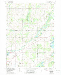 1982 Leonidas1982 Print · USGSSouthern Michigan farm country and river bottoms are captured here in the early eighties, centered on the village of Leonidas. Researchers can trace local lineages through Leonidas Cem or explore the site of Kings Mill and the Mission Ch.
 - 1982 Map of Kalamazoo, 1983 Print
 1982 Kalamazoo1983 Print · USGSThe Kalamazoo River valley in the early eighties shows a landscape of growing suburban centers and heavy rail infrastructure. Genealogists and researchers can trace the limits of Kalamazoo and Battle Creek or locate landmarks like Fort Custer National Cemetery and Gull Lake.
 - 2011 Map of Leonidas, 2011 Print
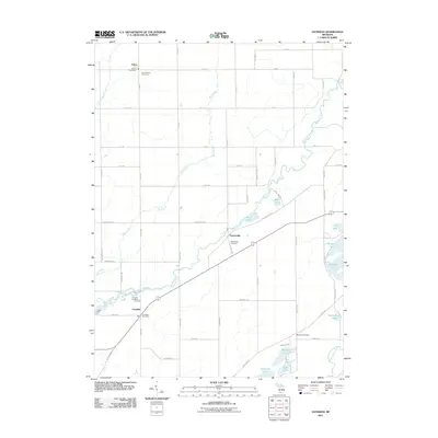 2011 Leonidas2011 Print · USGSSaint Joseph County is shown here in the early twenty-first century, defined by its small riverside hamlets and agricultural grid. Researchers can trace local lineages through the South Fulton Cemetery or locate the historic Kings Mill near Leonidas.
 - 2014 Map of Leonidas, 2014 Print
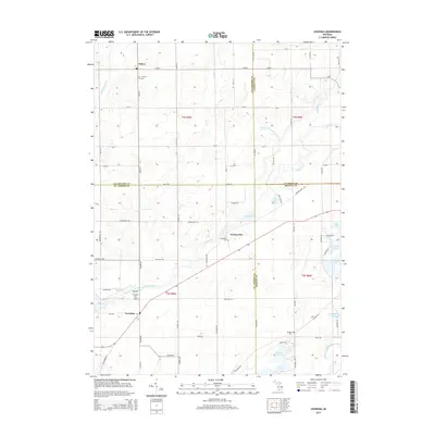 2014 Leonidas2014 Print · USGSThe intersection of four Michigan counties comes into focus in the early twenty-first century, centered on the historic river settlements of Leonidas and Factoryville. Genealogists can locate several local burial grounds, including Leonidas Cem and Blossom Cem, while tracing the course of the Saint Joseph River.
 - 2017 Map of Leonidas, 2017 Print
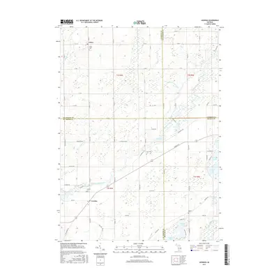 2017 Leonidas2017 Print · USGSFour Michigan counties meet in this landscape of glacial lakes and quiet wetlands as they appeared in the late twenty-teens. Genealogists and local historians can trace family sites near Leonidas Cemetery or follow the path of the Saint Joseph River and Nottawa Creek.
 - 2019 Map of Leonidas, 2019 Print
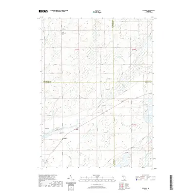 2019 Leonidas2019 Print · USGSLeonidas and Fulton sit at the junction of four counties in southern Michigan during the late twenty-tens. Local historians can trace family roots at Leonidas Cem and Factoryville Cem or study the wetlands surrounding the Saint Joseph River and Dane Lake.
 - 2023 Map of Leonidas, 2023 Print
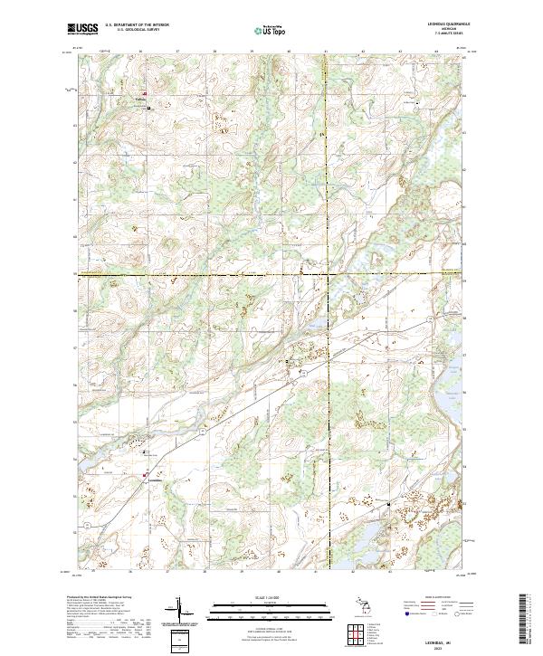 2023 Leonidas2023 Print · USGSSouthern Michigan's rural borderlands are documented here, showing the agricultural and water networks connecting St. Joseph and Kalamazoo counties. Researchers can locate family sites near Leonidas, Fulton, and several historic burial grounds like Indian Cemetery.
End of results
Showing maps 1-14 of 14
Top cities near Leonidas
- Kalamazoo historical maps
- Battle Creek historical maps
- Portage historical maps
- Sturgis historical maps
- Pavilion historical maps
- Nottawa historical maps
See more
Frequently asked questions
- What are the different types of historical maps available for Leonidas?
- What is the oldest map of Leonidas?
- Where can I purchase historical maps of Leonidas for my home or office?
- Where can I download high-res historical maps of Leonidas?
- Are there historical topographic maps available for Leonidas?
- Is there historical aerial imagery available for Leonidas?
- Where are historical maps of Leonidas sourced from?