Old Maps of Lexington Township, Michigan for Academic Research
Study the evolution of Lexington Township with 27 high-resolution historic maps. Whether you're teaching, researching, or modeling changes in land use, these maps provide essential visual documentation of urban, environmental, and geographic change.
- Analyze long-term change: Track patterns in development, transportation, and natural features.
- Ideal for environmental or urban studies: Support academic projects with primary historical map data.
- Use in the classroom or lab: Educators and researchers rely on these maps to bring historical context to life.
These maps are a powerful tool for teaching, research, and visualizing how Lexington Township has changed over the decades.
Lexington Township, MI maps
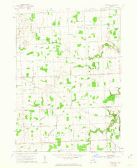
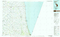
(27)- 1954 Map of Flint, 1968 Print
 1954 Flint1968 Print · USGSThe industrial corridor and fertile Thumb region of Michigan come alive in this mid-century survey. Genealogists and historians can trace the rail networks of the Grand Trunk, locate established settlements like Bad Axe and Sandusky, or explore the 1950s shoreline along Saginaw Bay.4 unique versions available
 - 1958 Map of Flint
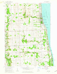
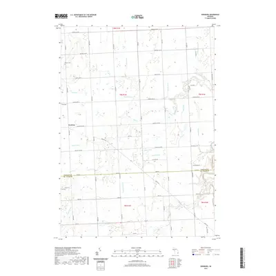
 1958 Flint1958 Print · USGSThe Michigan Thumb and the Saginaw Valley are captured here during the height of the post-war industrial era. Researchers can trace the complex rail networks of the Grand Trunk Western or locate mid-century landmarks like Lakeport State Park and the port at Bay City.2 unique versions available
 - 1961 Map of Roseburg, 1963 Print
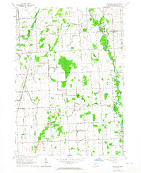
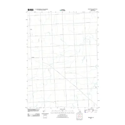
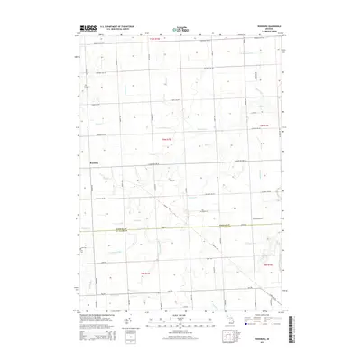
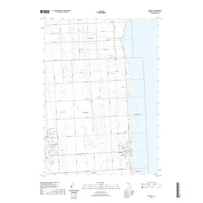
 1961 Roseburg1963 Print · USGSSanilac and St. Clair counties are shown in the early sixties, featuring a landscape defined by traditional township grids and rural schoolhouses. Researchers can locate family landmarks like Fremont Cem, the Roseburg Sch, and the quiet crossroads of Livergood.2 unique versions available
 - 1961 Map of Jeddo, 1963 Print
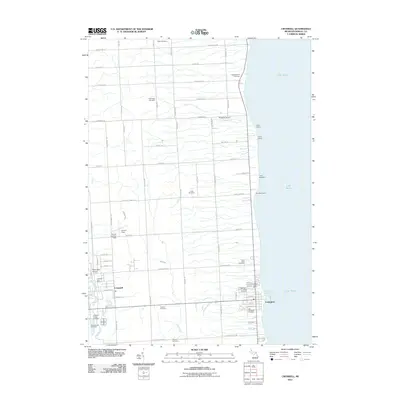
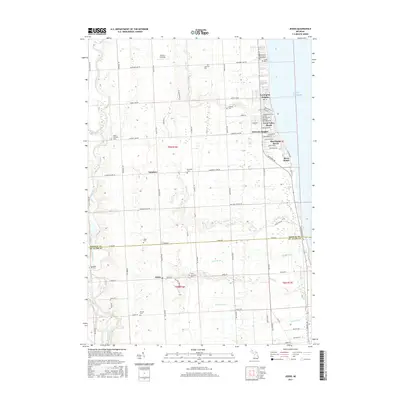
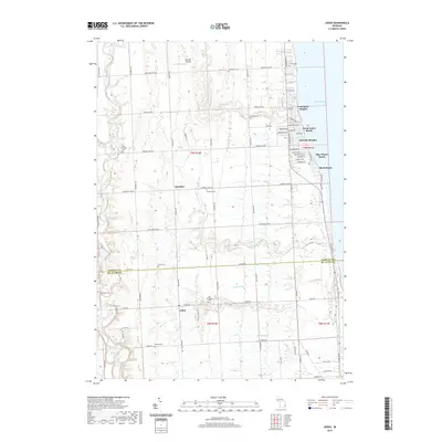
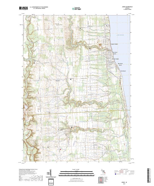
 1961 Jeddo1963 Print · USGSThe Lake Huron shoreline and the rural interior of Sanilac and St. Clair counties are captured here in the early sixties. Genealogists and local historians can locate early schools and churches like Cook School and Bethel Church, or trace the Chesapeake and Ohio rail line.2 unique versions available
 - 1963 Map of Croswell, 1964 Print
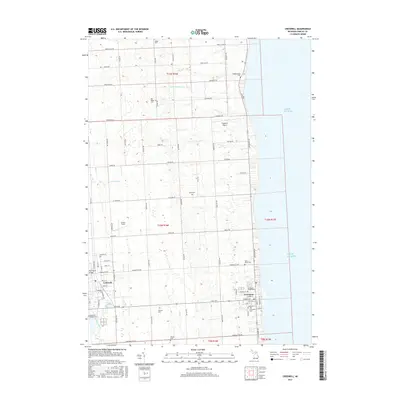
 1963 Croswell1964 Print · USGSThe Sanilac County shoreline and the agricultural interior around Croswell are shown here during the early sixties. Researchers can trace family history at Huckins Cem or explore the cluster of waterfront sites like Camp Cavell and Camp Playfair.2 unique versions available
 - 1963 Map of Applegate, 1964 Print
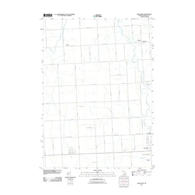
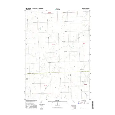
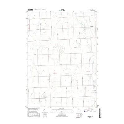
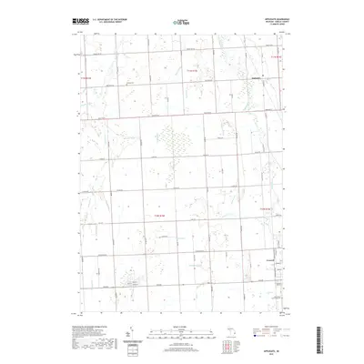
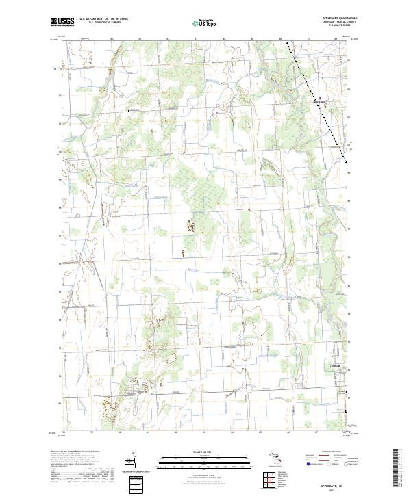
 1963 Applegate1964 Print · USGSSanilac County was a well-defined landscape of rail and river in the early sixties, centered on the Applegate and Croswell communities. Genealogists can trace family footprints at Steckley Cem, Washington Ch, and the local Montgomery Sch.
 - 1984 Map of Croswell, 1985 Print
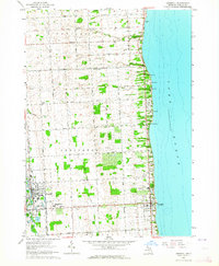
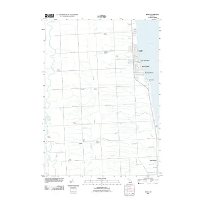
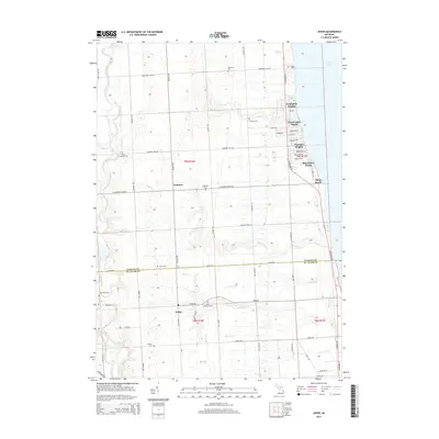
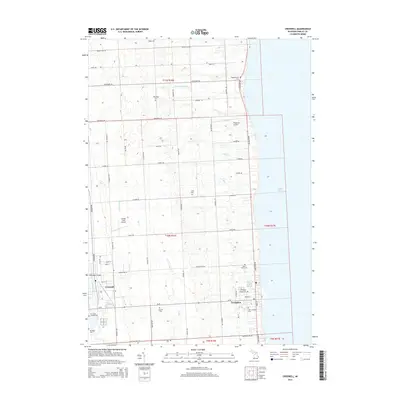
 1984 Croswell1985 Print · USGSThe Michigan Thumb region and the Lake Huron shoreline appear here in the mid-1980s, showcasing a landscape of drainage-fed farmland and coastal retreats. Researchers can trace the Chesapeake rail route and explore shoreline communities from Lexington Heights to Keewahdin.2 unique versions available
 - 2011 Map of Jeddo, 2011 Print
 2011 Jeddo2011 Print · USGSCovers Lexington Township, including Lexington Heights, Grant Township, and other nearby areas
 - 2011 Map of Croswell, 2011 Print
 2011 Croswell2011 Print · USGSCovers Lexington Township, including Croswell, Lexington, and other nearby areas
 - 2011 Map of Roseburg, 2011 Print
 2011 Roseburg2011 Print · USGSCovers Lexington Township, including Buel Township, Grant Township, and other nearby areas
 - 2011 Map of Applegate, 2011 Print
 2011 Applegate2011 Print · USGSCovers Lexington Township, including Croswell, Applegate, and other nearby areas
 - 2014 Map of Jeddo, 2014 Print
 2014 Jeddo2014 Print · USGSCovers Lexington Township, including Lexington Heights, Grant Township, and other nearby areas
 - 2014 Map of Applegate, 2014 Print
 2014 Applegate2014 Print · USGSCovers Lexington Township, including Croswell, Applegate, and other nearby areas
 - 2014 Map of Roseburg, 2014 Print
 2014 Roseburg2014 Print · USGSCovers Lexington Township, including Buel Township, Grant Township, and other nearby areas
 - 2014 Map of Croswell, 2014 Print
 2014 Croswell2014 Print · USGSCovers Lexington Township, including Croswell, Lexington, and other nearby areas
 - 2017 Map of Roseburg, 2017 Print
 2017 Roseburg2017 Print · USGSCovers Lexington Township, including Buel Township, Grant Township, and other nearby areas
 - 2017 Map of Jeddo, 2017 Print
 2017 Jeddo2017 Print · USGSCovers Lexington Township, including Lexington Heights, Grant Township, and other nearby areas
 - 2017 Map of Applegate, 2017 Print
 2017 Applegate2017 Print · USGSCovers Lexington Township, including Croswell, Applegate, and other nearby areas
 - 2017 Map of Croswell, 2017 Print
 2017 Croswell2017 Print · USGSCovers Lexington Township, including Croswell, Lexington, and other nearby areas
 - 2019 Map of Roseburg, 2019 Print
 2019 Roseburg2019 Print · USGSCovers Lexington Township, including Buel Township, Grant Township, and other nearby areas
 - 2019 Map of Applegate, 2019 Print
 2019 Applegate2019 Print · USGSCovers Lexington Township, including Croswell, Applegate, and other nearby areas
 - 2019 Map of Jeddo, 2019 Print
 2019 Jeddo2019 Print · USGSCovers Lexington Township, including Lexington Heights, Grant Township, and other nearby areas
 - 2019 Map of Croswell, 2019 Print
 2019 Croswell2019 Print · USGSCovers Lexington Township, including Croswell, Lexington, and other nearby areas
 - 2023 Map of Applegate, 2023 Print
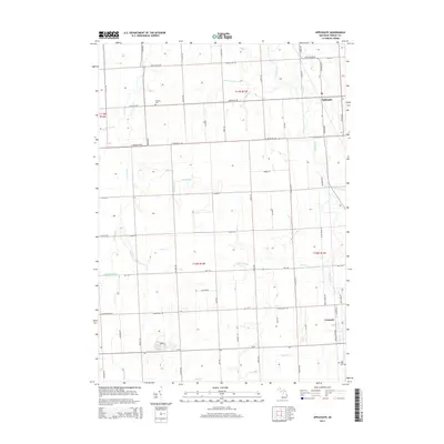
 2023 Applegate2023 Print · USGSThe village of Applegate and the agricultural lands of Sanilac County are captured here during the 2020s. Genealogists and local historians can locate family landmarks like Steckley Cem, trace the course of the Black River, or explore the northern outskirts of Croswell.
 - 2023 Map of Jeddo, 2023 Print
 2023 Jeddo2023 Print · USGSThe Lake Huron shoreline and the rural interior of Sanilac County come together in this recent survey. Genealogists and local historians can trace family-named landmarks like Witham Field or locate numerous burial sites including Bardwell Cem and Baker Cem.
Showing maps 1-25 of 27
Top cities near Lexington Township
- Sandusky historical maps
- Croswell historical maps
- Brockway historical maps
- Yale historical maps
- Speaker historical maps
- Forester historical maps
See more
Top neighborhoods of Lexington Township
Frequently asked questions
- What are the different types of historical maps available for Lexington Township?
- What is the oldest map of Lexington Township?
- Where can I purchase historical maps of Lexington Township for my home or office?
- Where can I download high-res historical maps of Lexington Township?
- Are there historical topographic maps available for Lexington Township?
- Is there historical aerial imagery available for Lexington Township?
- Where are historical maps of Lexington Township sourced from?