Old Maps of Watertown Township, Michigan for Hiking & Exploration
Hike through history with 27 historic maps of Watertown Township. Explore old trails, ghost towns, and forgotten backroads — perfect for outdoor adventurers and local explorers.
- Rediscover forgotten places: Map out old mining camps, roads, and footpaths that no longer exist on modern maps.
- Layer with modern tools: Combine with LiDAR or satellite views to plan hikes through historical terrain.
- Made for exploration: Popular among hikers, overlanders, and local history lovers.
Use these maps to find adventure and explore the hidden past of Watertown Township.
Watertown Township, MI maps
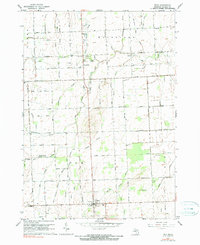
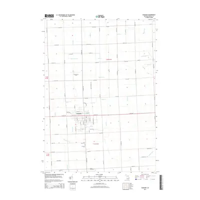
(27)- 1954 Map of Flint, 1968 Print
 1954 Flint1968 Print · USGSThe industrial corridor and fertile Thumb region of Michigan come alive in this mid-century survey. Genealogists and historians can trace the rail networks of the Grand Trunk, locate established settlements like Bad Axe and Sandusky, or explore the 1950s shoreline along Saginaw Bay.4 unique versions available
 - 1958 Map of Flint
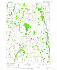
 1958 Flint1958 Print · USGSThe Michigan Thumb and the Saginaw Valley are captured here during the height of the post-war industrial era. Researchers can trace the complex rail networks of the Grand Trunk Western or locate mid-century landmarks like Lakeport State Park and the port at Bay City.2 unique versions available
 - 1963 Map of Sandusky, 1964 Print
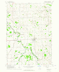
 1963 Sandusky1964 Print · USGSSanilac County's agricultural heartland is documented here in the early sixties, centered on the growing hub of Sandusky. Genealogists and researchers can trace family lands near Greenwood Cemetery, several rural schoolhouses like Bolsby School, and the Chesapeake and Ohio Railroad corridor.
 - 1963 Map of Peck, 1964 Print
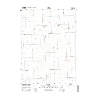
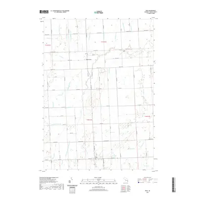
 1963 Peck1964 Print · USGSSanilac County's flat agricultural heartland is documented here in the early sixties, showing a landscape defined by drainage and early rail history. Genealogists and local historians can locate Lynch Sch, Zion Cem, and the path of the Old Railroad Grade.2 unique versions available
 - 1963 Map of Applegate, 1964 Print
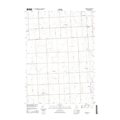
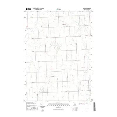
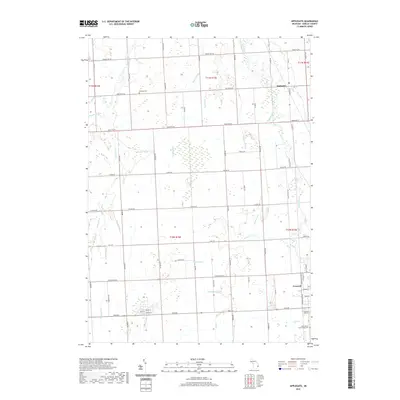
 1963 Applegate1964 Print · USGSSanilac County was a well-defined landscape of rail and river in the early sixties, centered on the Applegate and Croswell communities. Genealogists can trace family footprints at Steckley Cem, Washington Ch, and the local Montgomery Sch.
 - 1963 Map of Carsonville, 1964 Print
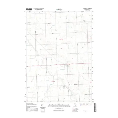
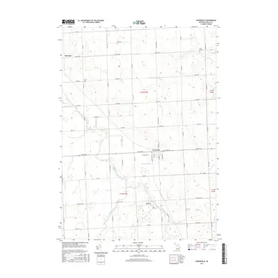
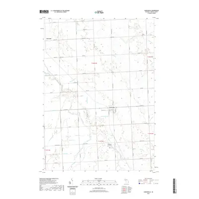
 1963 Carsonville1964 Print · USGSSanilac County's agricultural heartland is captured here in the early sixties, centered on the rail hub of Carsonville. Researchers can trace old family footprints through numerous township sites, including Zion Cem, Baker Sch, and the local Drive-in Theater.2 unique versions available
 - 1984 Map of Croswell, 1985 Print
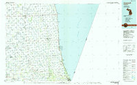 1984 Croswell1985 Print · USGSThe Michigan Thumb region and the Lake Huron shoreline appear here in the mid-1980s, showcasing a landscape of drainage-fed farmland and coastal retreats. Researchers can trace the Chesapeake rail route and explore shoreline communities from Lexington Heights to Keewahdin.2 unique versions available
 - 2011 Map of Sandusky, 2011 Print
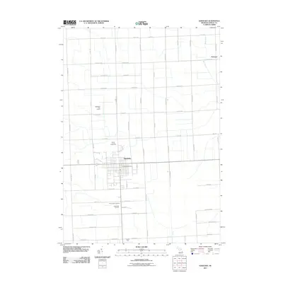 2011 Sandusky2011 Print · USGSCovers Watertown Township, including Sandusky, Custer Township, and other nearby areas
 - 2011 Map of Peck, 2011 Print
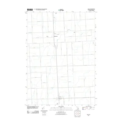 2011 Peck2011 Print · USGSCovers Watertown Township, including Watertown, Peck, and other nearby areas
 - 2011 Map of Carsonville, 2011 Print
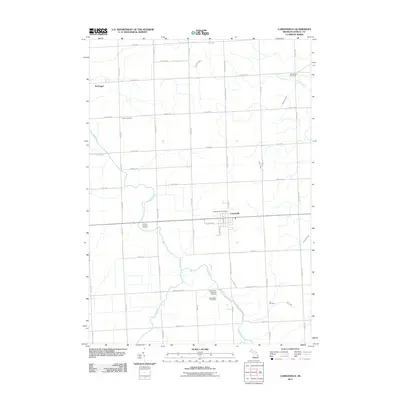 2011 Carsonville2011 Print · USGSCovers Watertown Township, including Carsonville, Washington Township, and other nearby areas
 - 2011 Map of Applegate, 2011 Print
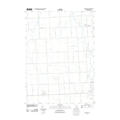 2011 Applegate2011 Print · USGSCovers Watertown Township, including Croswell, Applegate, and other nearby areas
 - 2014 Map of Sandusky, 2014 Print
 2014 Sandusky2014 Print · USGSCovers Watertown Township, including Sandusky, Custer Township, and other nearby areas
 - 2014 Map of Peck, 2014 Print
 2014 Peck2014 Print · USGSCovers Watertown Township, including Watertown, Peck, and other nearby areas
 - 2014 Map of Applegate, 2014 Print
 2014 Applegate2014 Print · USGSCovers Watertown Township, including Croswell, Applegate, and other nearby areas
 - 2014 Map of Carsonville, 2014 Print
 2014 Carsonville2014 Print · USGSCovers Watertown Township, including Carsonville, Washington Township, and other nearby areas
 - 2017 Map of Carsonville, 2017 Print
 2017 Carsonville2017 Print · USGSCovers Watertown Township, including Carsonville, Washington Township, and other nearby areas
 - 2017 Map of Sandusky, 2017 Print
 2017 Sandusky2017 Print · USGSCovers Watertown Township, including Sandusky, Custer Township, and other nearby areas
 - 2017 Map of Applegate, 2017 Print
 2017 Applegate2017 Print · USGSCovers Watertown Township, including Croswell, Applegate, and other nearby areas
 - 2017 Map of Peck, 2017 Print
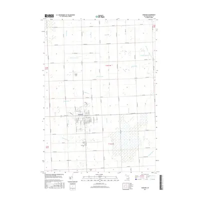
 2017 Peck2017 Print · USGSCovers Watertown Township, including Watertown, Peck, and other nearby areas
 - 2019 Map of Peck, 2019 Print
 2019 Peck2019 Print · USGSCovers Watertown Township, including Watertown, Peck, and other nearby areas
 - 2019 Map of Applegate, 2019 Print
 2019 Applegate2019 Print · USGSCovers Watertown Township, including Croswell, Applegate, and other nearby areas
 - 2019 Map of Carsonville, 2019 Print
 2019 Carsonville2019 Print · USGSCovers Watertown Township, including Carsonville, Washington Township, and other nearby areas
 - 2019 Map of Sandusky, 2019 Print
 2019 Sandusky2019 Print · USGSCovers Watertown Township, including Sandusky, Custer Township, and other nearby areas
 - 2023 Map of Peck, 2023 Print
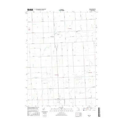
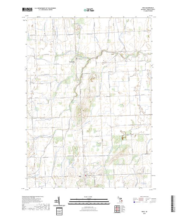 2023 Peck2023 Print · USGSSanilac County's agricultural heartland is captured in this modern survey of the Michigan thumb's rural interior. Genealogists and local historians can trace the grid of country roads and drainage networks connecting Peck, Watertown, and the Zion Cem.
 - 2023 Map of Sandusky, 2023 Print
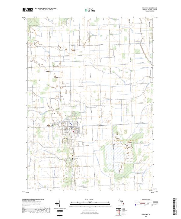 2023 Sandusky2023 Print · USGSThe city of Sandusky and its surrounding agricultural plains are captured in this modern survey of central Sanilac County. Researchers can trace land divisions across T12N R14E and locate local landmarks like the Sanilac County Courthouse, Greenwood Cem, and the Sandusky City Airport.
Showing maps 1-25 of 27
Top cities near Watertown Township
- Sandusky historical maps
- Croswell historical maps
- Speaker historical maps
- Watertown historical maps
- Brown City historical maps
- Deckerville historical maps
See more
Top neighborhoods of Watertown Township
Frequently asked questions
- What are the different types of historical maps available for Watertown Township?
- What is the oldest map of Watertown Township?
- Where can I purchase historical maps of Watertown Township for my home or office?
- Where can I download high-res historical maps of Watertown Township?
- Are there historical topographic maps available for Watertown Township?
- Is there historical aerial imagery available for Watertown Township?
- Where are historical maps of Watertown Township sourced from?