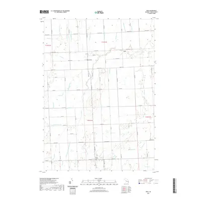
2019 Map of Peck
USGS Topo · Published 2019About this map
Watertown and the village of Peck anchor this survey of Sanilac County's agricultural landscape, where a sophisticated network of artificial waterways defines the terrain. The presence of numerous named channels, such as the Watertown State Drain, Rickett Drain, and McElhinney Drain, indicates the critical role of systematic drainage in reclaiming and maintaining the fertile soils of the Thumb region for large-scale farming.
Find a feature on this map
99 named features on this map. Tap any name to fly to it.
Don’t see what you’re looking for? This feature index may not catch every label — zoom into the map to look around manually.
Map Details
Editions of this 2019 Peck Map
This is the sole edition of this map. No revisions or reprints were ever made.
Other maps of this area

1954 · Flint
USGS Topo · 1:250,000

1958 · Flint
USGS Topo · 1:250,000

1961 · Brown City
USGS Topo · 1:24,000

1961 · Roseburg
USGS Topo · 1:24,000

1961 · Yale
USGS Topo · 1:24,000

1963 · Snover
USGS Topo · 1:24,000

1963 · Sandusky
USGS Topo · 1:24,000

1963 · Peck
USGS Topo · 1:24,000

1963 · Juhl
USGS Topo · 1:24,000

1963 · Applegate
USGS Topo · 1:24,000