
1963 Map of Applegate
USGS Topo · Published 1964About this map
The Chesapeake and Ohio railroad corridor anchors the eastern landscape of Sanilac County, connecting the settlements of Applegate and Croswell as it parallels the winding Black River. This mid-century survey reveals a highly organized agricultural drainage network, with numerous engineered channels like the Methven Drain, French Drain, and Harlan Drain supporting the rural economy. Local life is centered around rural institutions including Washington Ch, Buel Ch, and several district schools such as the Montgomery Sch and Washington Sch. The map also captures smaller locales like Roskey and records the presence of the Steckley Cem, providing essential details for genealogical research. The terrain is further defined by its natural and industrial resources, ranging from the flow of Mills Creek to various Gravel Pits and a Sandpit scattered across the townships.
Find a feature on this map
41 named features on this map. Tap any name to fly to it.
Don’t see what you’re looking for? This feature index may not catch every label — zoom into the map to look around manually.
Map Details
Editions of this 1963 Applegate Map
This is the sole edition of this map. No revisions or reprints were ever made.
Other maps of this area

1954 · Flint
USGS Topo · 1:250,000

1958 · Flint
USGS Topo · 1:250,000

1961 · Roseburg
USGS Topo · 1:24,000
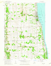
1961 · Jeddo
USGS Topo · 1:24,000

1961 · Yale
USGS Topo · 1:24,000

1963 · Sandusky
USGS Topo · 1:24,000

1963 · Peck
USGS Topo · 1:24,000

1963 · Croswell
USGS Topo · 1:24,000

1963 · Port Sanilac
USGS Topo · 1:24,000
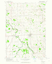
1963 · Carsonville
USGS Topo · 1:24,000