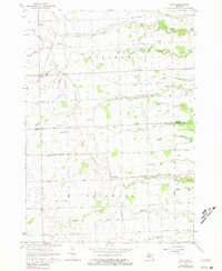
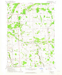
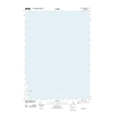
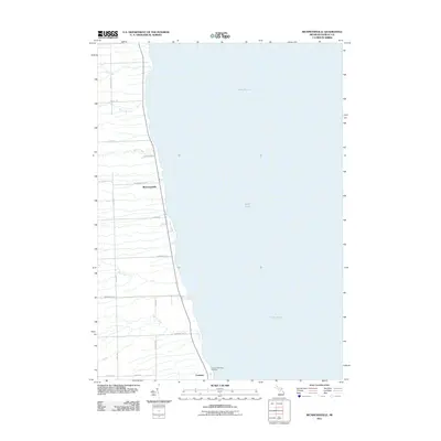
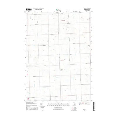
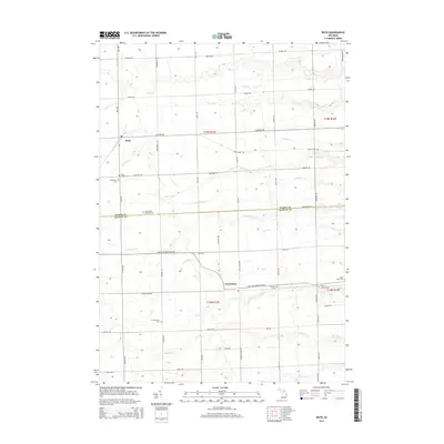
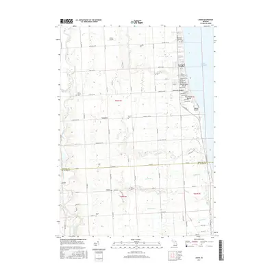
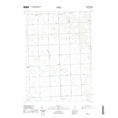
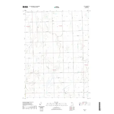
1961 Map of Jeddo
USGS Topo · Published 1963About this map
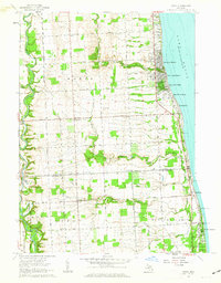
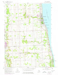
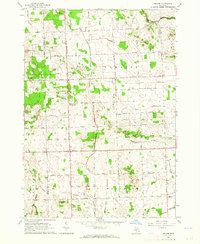
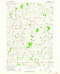
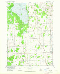
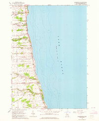
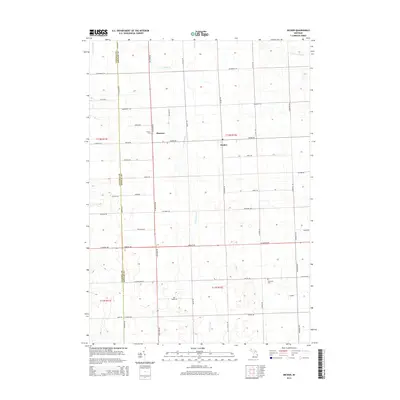
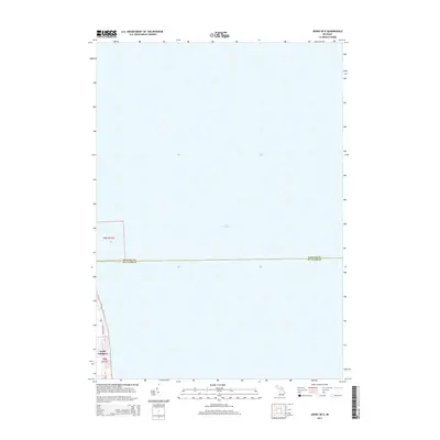
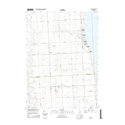
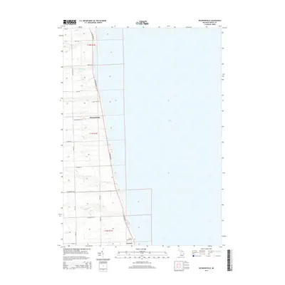
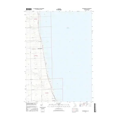
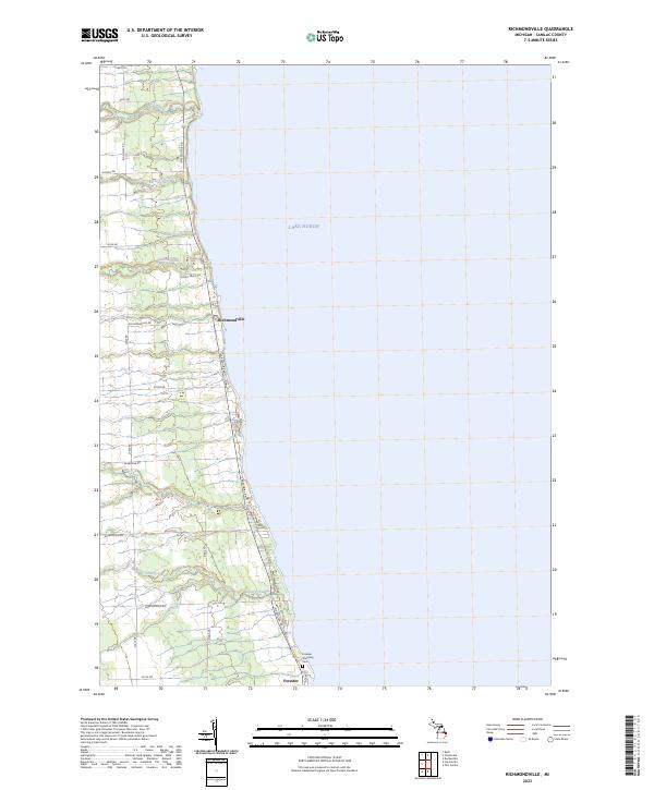
Lake Huron defines the eastern edge of this Michigan coastline, where established resort communities like Lexington Heights, Huronia Heights, and Blue Water Beach cluster along the shore. Moving inland, the landscape transitions into a grid of rural agricultural lands and woodlots across Worth and Burtchville townships. The Chesapeake and Ohio railroad cuts a straight north-south line through the territory, passing near the small settlements of Amadore and Jeddo.
Find a feature on this map
44 named features on this map. Tap any name to fly to it.
Don’t see what you’re looking for? This feature index may not catch every label — zoom into the map to look around manually.
Map Details
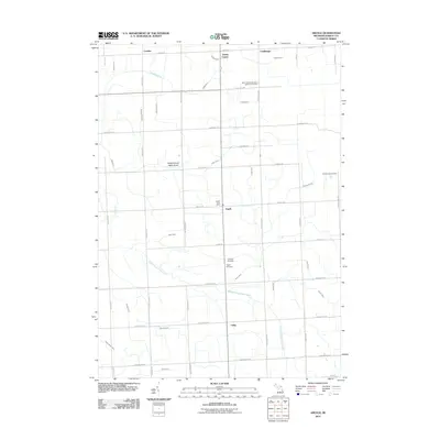
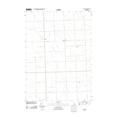
Editions of this 1961 Jeddo Map
2 editions found
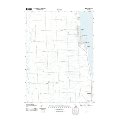
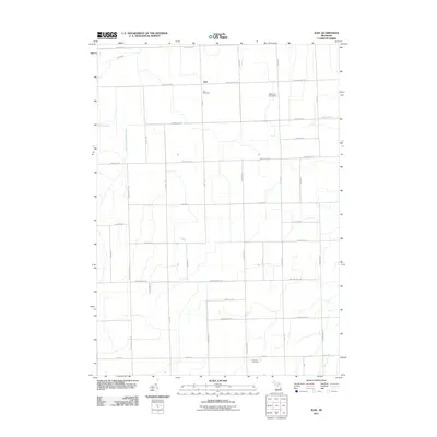
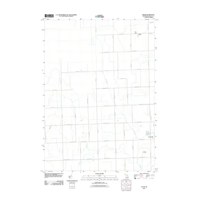
Historical Maps of Birch Beach Through Time
59 maps found
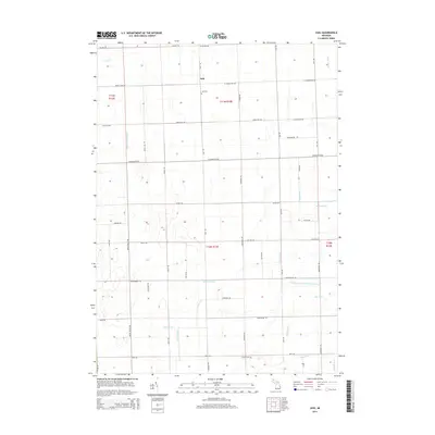
1961 Jeddo
Sanilac County, MI
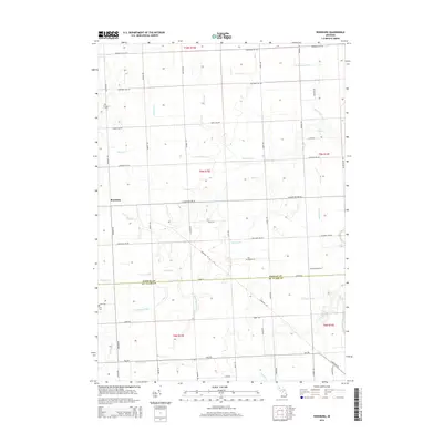
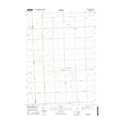
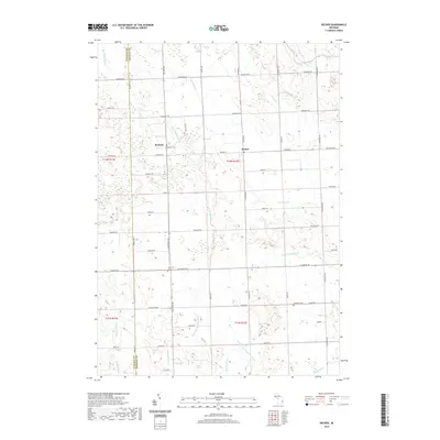
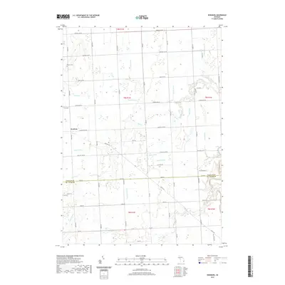
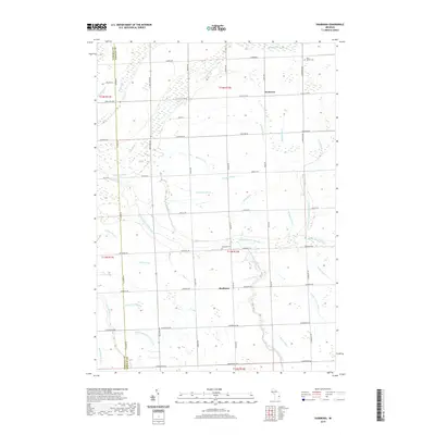
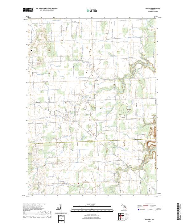
1961 Roseburg
Sanilac County, MI
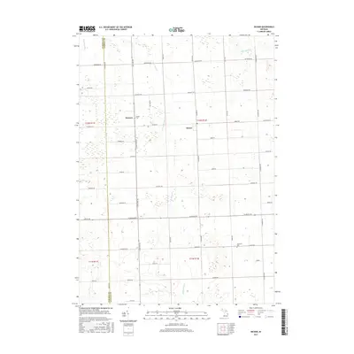
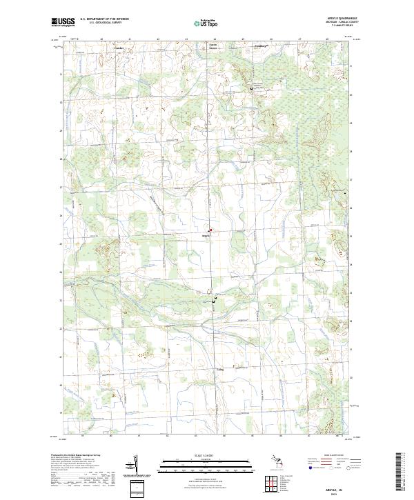
1963 Argyle
Sanilac County, MI
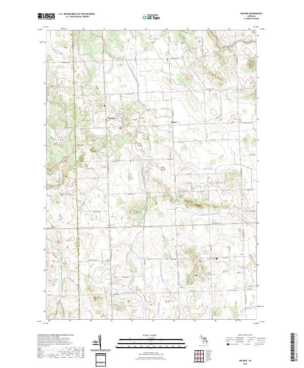
1963 Decker
Sanilac County, MI
1963 Juhl
Sanilac County, MI
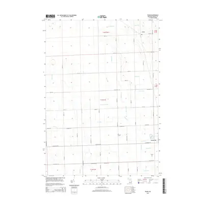
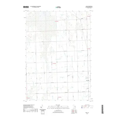
1963 Palms
Sanilac County, MI
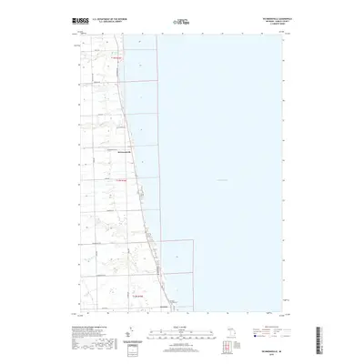
1963 Richmondville
Sanilac County, MI
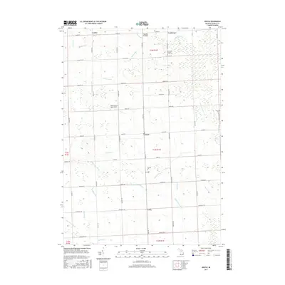
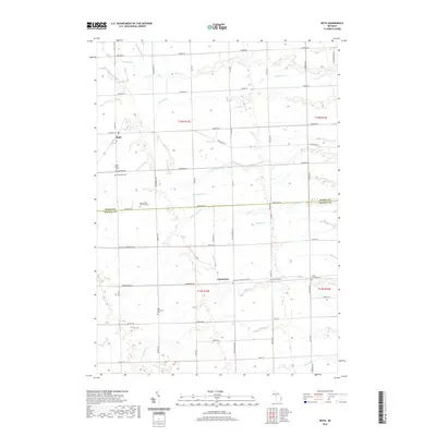
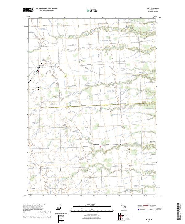
1963 Ruth
Sanilac County, MI
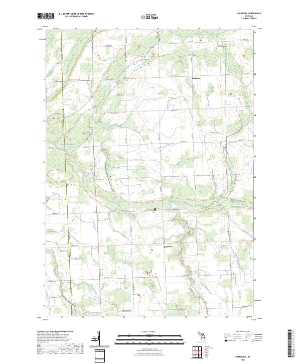
1963 Shabbona
Sanilac County, MI
2011 Argyle
Sanilac County, MI
2011 Decker
Sanilac County, MI
2011 Jeddo OE E
Sanilac County, MI
2011 Jeddo
Sanilac County, MI
2011 Juhl
Sanilac County, MI
2011 Palms
Sanilac County, MI
2011 Richmondville
Sanilac County, MI
2011 Roseburg
Sanilac County, MI
2011 Ruth
Sanilac County, MI
2011 Shabbona
Sanilac County, MI
2014 Argyle
Sanilac County, MI
2014 Decker
Sanilac County, MI
2014 Jeddo OE E
Sanilac County, MI
2014 Jeddo
Sanilac County, MI
2014 Juhl
Sanilac County, MI
2014 Palms
Sanilac County, MI
2014 Richmondville
Sanilac County, MI
2014 Roseburg
Sanilac County, MI
2014 Ruth
Sanilac County, MI
2014 Shabbona
Sanilac County, MI
2017 Argyle
Sanilac County, MI
2017 Decker
Sanilac County, MI
2017 Jeddo OE E
Sanilac County, MI
2017 Jeddo
Sanilac County, MI
2017 Juhl
Sanilac County, MI
2017 Palms
Sanilac County, MI
2017 Richmondville
Sanilac County, MI
2017 Roseburg
Sanilac County, MI
2017 Ruth
Sanilac County, MI
2017 Shabbona
Sanilac County, MI
2019 Argyle
Sanilac County, MI
2019 Decker
Sanilac County, MI
2019 Jeddo OE E
Sanilac County, MI
2019 Jeddo
Sanilac County, MI
2019 Juhl
Sanilac County, MI
2019 Palms
Sanilac County, MI
2019 Richmondville
Sanilac County, MI
2019 Roseburg
Sanilac County, MI
2019 Ruth
Sanilac County, MI
2019 Shabbona
Sanilac County, MI
2023 Argyle
Sanilac County, MI
2023 Decker
Sanilac County, MI
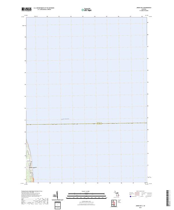
2023 Jeddo OE E
Sanilac County, MI
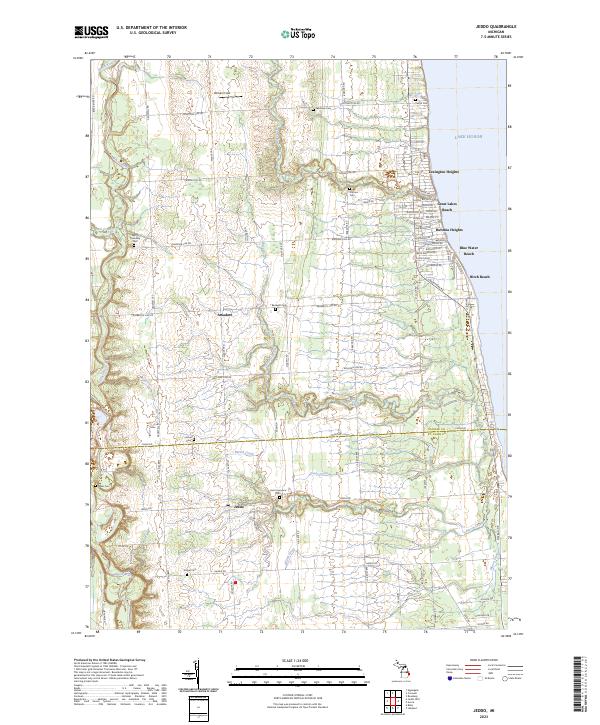
2023 Jeddo
Sanilac County, MI
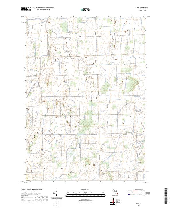
2023 Juhl
Sanilac County, MI
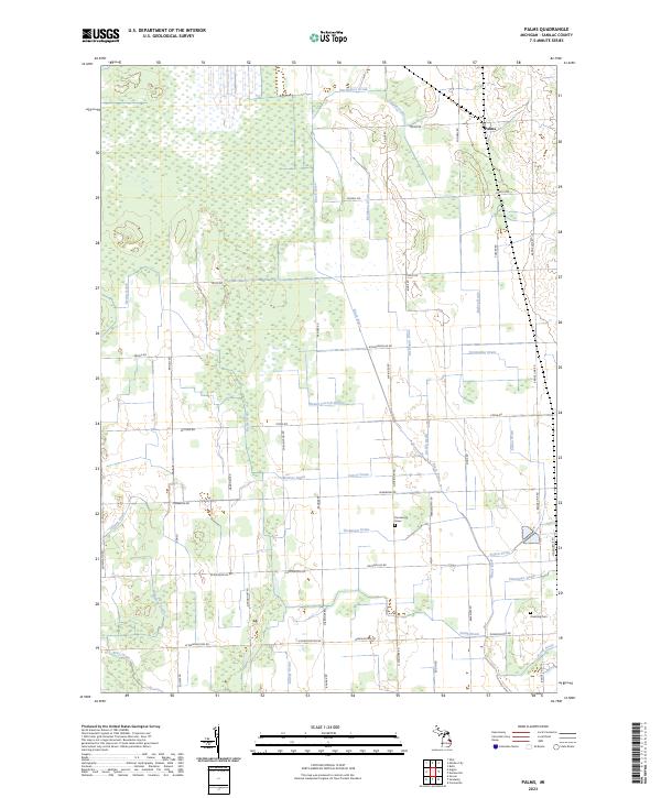
2023 Palms
Sanilac County, MI
2023 Richmondville
Sanilac County, MI
2023 Roseburg
Sanilac County, MI
2023 Ruth
Sanilac County, MI
2023 Shabbona
Sanilac County, MI
Featured Locations
- Lexington Township, MI
- Burtchville Township, MI
- Grant Township, MI
- Birch Beach, Worth Township
- Jeddo, Grant Township