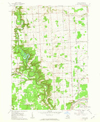
1961 Map of Ruby
USGS Topo · Published 1963About this map
Black River meanders deeply through the center of this St. Clair County landscape, its winding course defining the borders of the Port Huron State Game Area. The early 1960s terrain is marked by a blend of dense woodlots and a grid of rural roads such as Wildcat Road and Norman Road that connect small agricultural hubs. The Chesapeake and Ohio railroad cuts across the southern and western reaches, serving settlements like Ruby and Glyshaw. Local genealogy is well-represented by several institutional landmarks, including Harmony Cem, Kinney Cem, and schools like the Sunrise Sch and Red Sch. The presence of numerous Gravel Pits along the river bluffs indicates the local extractive industry that shaped the economy alongside traditional farming in townships like Grant and Clyde.
Find a feature on this map
62 named features on this map. Tap any name to fly to it.
Don’t see what you’re looking for? This feature index may not catch every label — zoom into the map to look around manually.
Map Details
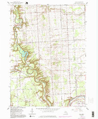
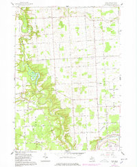
Editions of this 1961 Ruby Map
3 editions found
Other maps of this area

1912 · Port Huron
USGS Topo · 1:62,500

1928 · Hicky
USGS Topo · 1:62,500

1929 · Port Huron
USGS Topo · 1:62,500

1939 · Port Huron
USGS Topo · 1:24,000

1939 · Smiths Creek
USGS Topo · 1:24,000

1939 · Goodells
USGS Topo · 1:24,000
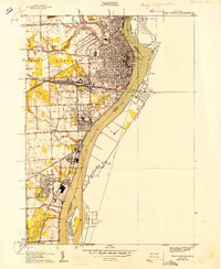
1949 · Port Huron
USGS Topo · 1:24,000
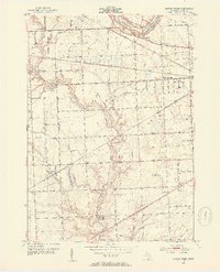
1952 · Smiths Creek
USGS Topo · 1:24,000
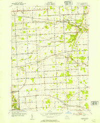
1952 · Goodells
USGS Topo · 1:24,000
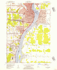
1952 · Port Huron
USGS Topo · 1:24,000
Featured Places
- Clyde Township, MI
- Grant Township, MI
- Fort Gratiot Charter Township, MI
- Burtchville Township, MI
- Ruby, MI