Loading...
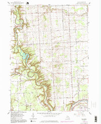
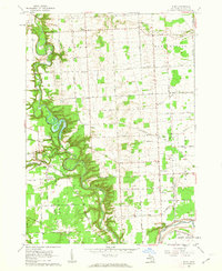
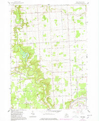
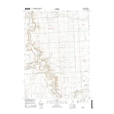
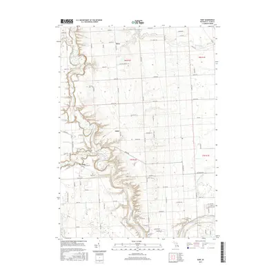
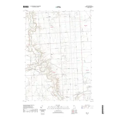
Loading map...1961 Map of Ruby
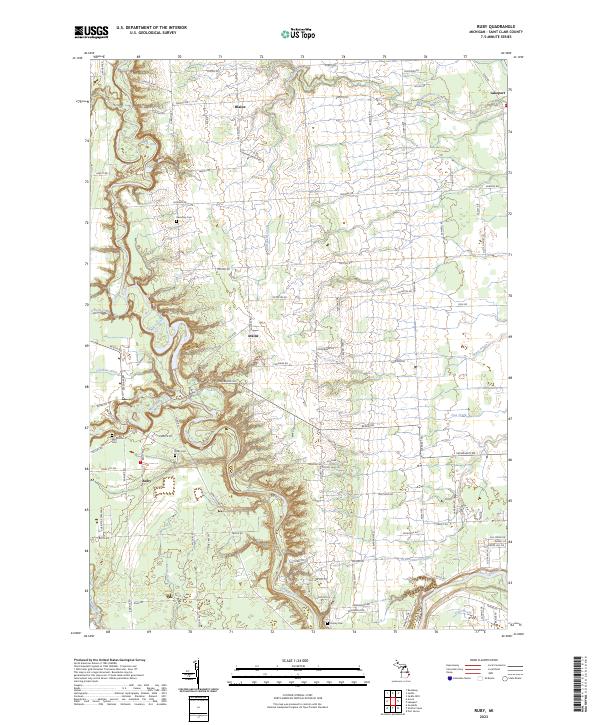
USGS Topo · Published 1978About this map
Black River meanders through the heart of St. Clair County, its deep valleys and surrounding ridges defining the landscape south of the Port Huron State Game Area. This mid-century survey reveals a transition from the agricultural plateaus of Grant and Burtchville townships toward the growing suburbs of Port Huron. Local history is anchored by rural landmarks such as the Red Sch and Vincent Sch, along with numerous family and community burial grounds including Ruby Cem and Harmony Cem.
Find a feature on this map
50 named features on this map. Tap any name to fly to it.
Don’t see what you’re looking for? This feature index may not catch every label — zoom into the map to look around manually.
Map Details
Date Portrayed1961
Date Published1978
PublisherU.S. Geological Survey
Map TypeTopographic
Scale1:24,000
Physical Dimensions21.9 x 26.7 inches
Editions of this 1961 Ruby Map
3 editions found
Historical Maps of Clyde Township Through Time
6 maps found
Featured Locations
- Burtchville Township, MI
- Clyde Township, MI
- Fort Gratiot Charter Township, MI
- Grant Township, MI
- Ruby, Clyde Township
Source Details
SourceU.S. Geological Survey
CopyrightPublic Domain