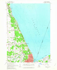
1961 Map of Lakeport
USGS Topo · Published 1963About this map
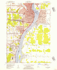
The international border between the United States and Canada runs through the deep blue of Lake Huron and the St Clair River, anchoring this early 1960s study of the Michigan and Ontario shorelines. On the American side, the city of Port Huron shows a dense street grid transitioning into the military grounds of Fort Gratiot. The map details a landscape shaped by water and transit, where the Chesapeake and Ohio railroad tracks parallel the coast, and small communities like Keewahdin and Gardendale appear north of the city center. To the north, the recreational character of the region is evident in the sprawling Lakeport State Park, while specialized infrastructure like the Baker Airport, the Lighthouse, and a Drive-in Theater along the coast highway highlights the mid-century development of St. Clair County.
Find a feature on this map
51 named features on this map. Tap any name to fly to it.
Don’t see what you’re looking for? This feature index may not catch every label — zoom into the map to look around manually.
Map Details
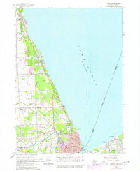
Editions of this 1961 Lakeport Map
2 editions found
Other maps of this area

1912 · Port Huron
USGS Topo · 1:62,500

1928 · Hicky
USGS Topo · 1:62,500

1929 · Port Huron
USGS Topo · 1:62,500

1939 · Port Huron
USGS Topo · 1:24,000

1939 · Smiths Creek
USGS Topo · 1:24,000
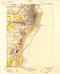
1949 · Port Huron
USGS Topo · 1:24,000
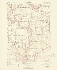
1952 · Smiths Creek
USGS Topo · 1:24,000
1952 · Port Huron
USGS Topo · 1:24,000

1954 · Detroit
USGS Topo · 1:250,000

1954 · Flint
USGS Topo · 1:250,000