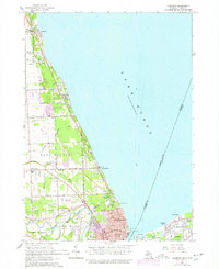
1961 Map of Lakeport
USGS Topo · Published 1977About this map
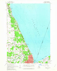
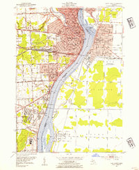
The waters of Lake Huron define the eastern edge of this Michigan landscape, where the international boundary separates Port Huron from Sarnia and Point Edward, Ontario. In the early 1960s, the coastline north of the city is a mix of recreational and residential developments, anchored by the expansive Lakeport State Park and the smaller Lakeside Park. The land is scored by a complex network of drainage systems like the Brandywine Drain and Carrigan Drain, reflecting a historically wet terrain managed for settlement.
Find a feature on this map
52 named features on this map. Tap any name to fly to it.
Don’t see what you’re looking for? This feature index may not catch every label — zoom into the map to look around manually.
Map Details
Editions of this 1961 Lakeport Map
2 editions found
Other maps of this area

1912 · Port Huron
USGS Topo · 1:62,500

1928 · Hicky
USGS Topo · 1:62,500

1929 · Port Huron
USGS Topo · 1:62,500

1939 · Port Huron
USGS Topo · 1:24,000

1939 · Smiths Creek
USGS Topo · 1:24,000
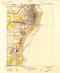
1949 · Port Huron
USGS Topo · 1:24,000
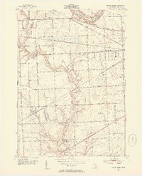
1952 · Smiths Creek
USGS Topo · 1:24,000
1952 · Port Huron
USGS Topo · 1:24,000

1954 · Detroit
USGS Topo · 1:250,000

1954 · Flint
USGS Topo · 1:250,000