2000s (21st Century) Maps of Schoolcraft County, Michigan
Explore 190 historic maps of Schoolcraft County from the 2000s (21st Century). These maps offer a rare glimpse into what life looked like during the 2000s — showing old roads, neighborhoods, homes, and landmarks that have changed or disappeared over time.
Whether you're researching your family's past, planning a metal detecting trip, or studying how Schoolcraft County's landscape evolved across the 2000s, these high-resolution maps are a powerful tool for exploring the history of this region.
- Focus on a specific era: All maps on this page are from the 2000s, giving you a focused view of this time period.
- See what’s changed: Compare century-old streets, trails, and buildings to today's modern landscape using overlays and satellite layers.
- Research with precision: Use these maps for genealogy, historical research, land use analysis, or educational projects.
- View, download, or print: Maps are fully viewable online in high resolution, and can be downloaded or printed for your own records.
Start exploring Schoolcraft County's history through authentic maps from the 2000s. This is your window into the past.
Schoolcraft County, MI maps
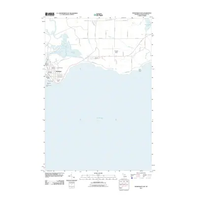
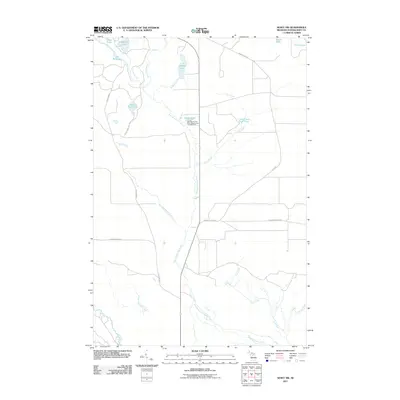
(190)- 2011 Map of Point Aux Barques, 2011 Print
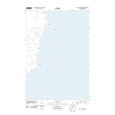 2011 Point Aux Barques2011 Print · USGSCovers Schoolcraft County, including Thompson Township, United States, and other nearby areas
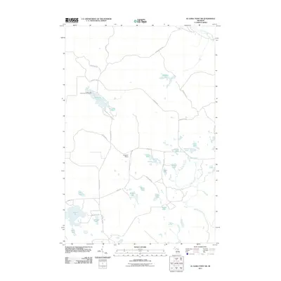
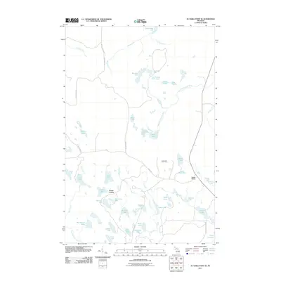
 - 2011 Map of Hiram Point, 2011 Print
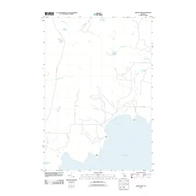 2011 Hiram Point2011 Print · USGSCovers Schoolcraft County, including Garden Township, Thompson Township, and other nearby areas
 - 2011 Map of Gulliver, 2011 Print
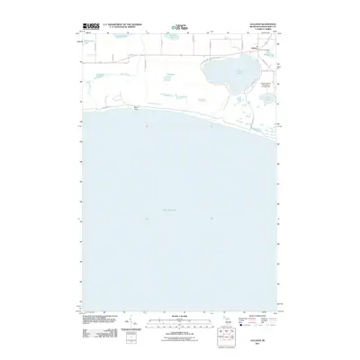 2011 Gulliver2011 Print · USGSCovers Schoolcraft County, including Gulliver, Doyle Township, and other nearby areas
 - 2011 Map of Manistique West, 2011 Print
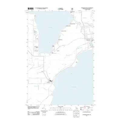 2011 Manistique West2011 Print · USGSCovers Schoolcraft County, including Manistique, Thompson, and other nearby areas
 - 2011 Map of Manistique East, 2011 Print
 2011 Manistique East2011 Print · USGSCovers Schoolcraft County, including Manistique, Manistique Township, and other nearby areas
 - 2011 Map of Driggs Lake SE, 2011 Print
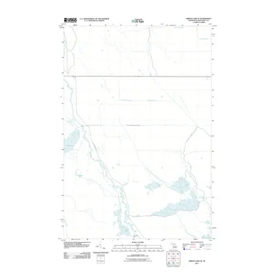 2011 Driggs Lake SE2011 Print · USGSCovers Schoolcraft County, including Doyle Township, Manistique Township, and other nearby areas
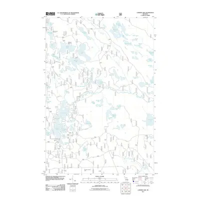
 - 2011 Map of Trappers Lake, 2011 Print
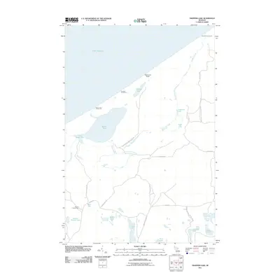 2011 Trappers Lake2011 Print · USGSCovers Schoolcraft County, including Hiawatha Township, Burt Township, and other nearby areas
 - 2011 Map of Blaney Park, 2011 Print
 2011 Blaney Park2011 Print · USGSCovers Schoolcraft County, including Blaney Junction, Blaney Park, and other nearby areas
 - 2011 Map of Marsh Creek Pool NW, 2011 Print
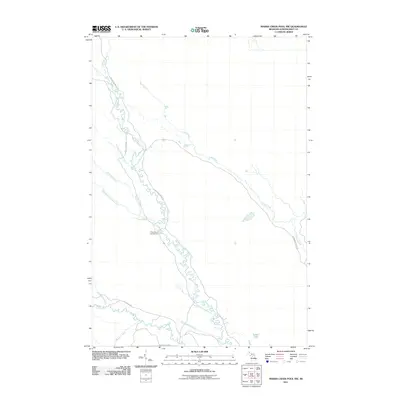 2011 Marsh Creek Pool NW2011 Print · USGSCovers Schoolcraft County, including Manistique Township, Hiawatha Township, and other nearby areas
 - 2011 Map of Marsh Creek Pool, 2011 Print
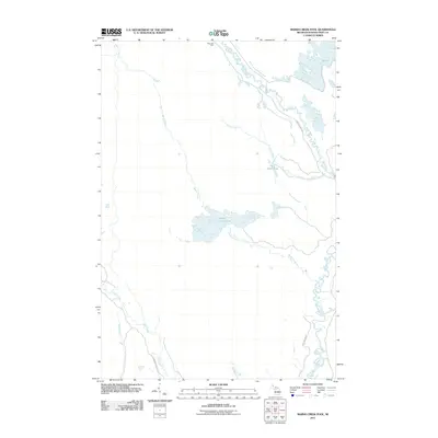 2011 Marsh Creek Pool2011 Print · USGSCovers Schoolcraft County, including Doyle Township, Manistique Township, and other nearby areas
 - 2011 Map of Seney, 2011 Print
 2011 Seney2011 Print · USGSCovers Schoolcraft County, including Seney, Germfask Township, and other nearby areas
 - 2011 Map of Smith Lake, 2011 Print
 2011 Smith Lake2011 Print · USGSCovers Schoolcraft County, including Manistique Township, Hiawatha Township, and other nearby areas
 - 2011 Map of Walsh, 2011 Print
 2011 Walsh2011 Print · USGSCovers Schoolcraft County, including Manistique Township, Hiawatha Township, and other nearby areas
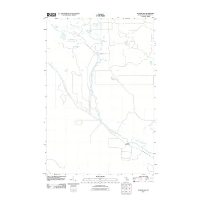
 - 2011 Map of Merwin Lake, 2011 Print
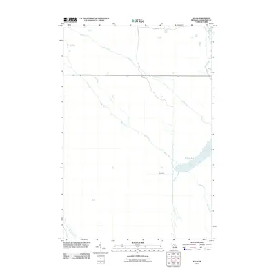
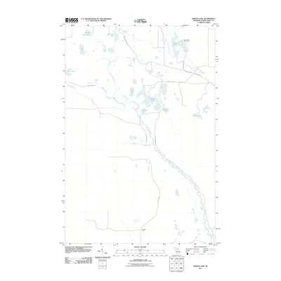
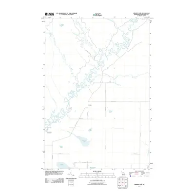 2011 Merwin Lake2011 Print · USGSCovers Schoolcraft County, including Doyle Township, Manistique Township, and other nearby areas
 - 2011 Map of Au Sable Point SW, 2011 Print
 2011 Au Sable Point SW2011 Print · USGSCovers Schoolcraft County, including Hiawatha Township, Seney Township, and other nearby areas
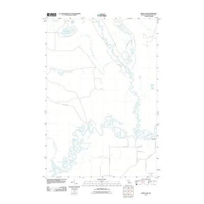
 - 2011 Map of Driggs Lake, 2011 Print
 2011 Driggs Lake2011 Print · USGSCovers Schoolcraft County, including Hiawatha Township, Seney Township, and other nearby areas
 - 2011 Map of Seney NW, 2011 Print
 2011 Seney NW2011 Print · USGSCovers Schoolcraft County, including Seney Township, United States, and other nearby areas
 - 2011 Map of Au Sable Point SE, 2011 Print
 2011 Au Sable Point SE2011 Print · USGSCovers Schoolcraft County, including Sunrise Landing, Seney Township, and other nearby areas
 - 2011 Map of Sunken Lake, 2011 Print
 2011 Sunken Lake2011 Print · USGSCovers Schoolcraft County, including Seney Township, United States, and other nearby areas
 - 2011 Map of Thunder Lake, 2011 Print
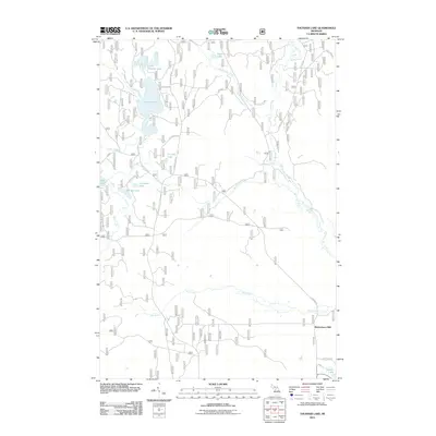 2011 Thunder Lake2011 Print · USGSCovers Schoolcraft County, including Garden Township, Richardsons Mill, and other nearby areas
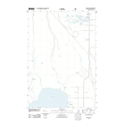
 - 2011 Map of Corner Lake, 2011 Print
 2011 Corner Lake2011 Print · USGSCovers Schoolcraft County, including Garden Township, Nahma Township, and other nearby areas
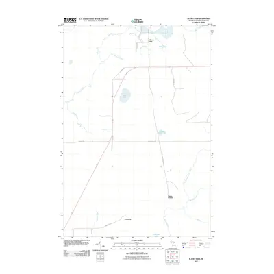
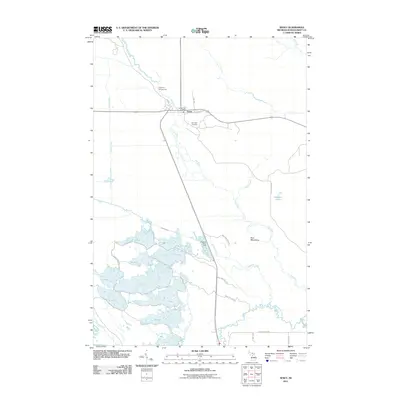
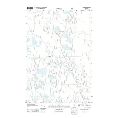
 - 2011 Map of Steuben, 2011 Print
 2011 Steuben2011 Print · USGSCovers Schoolcraft County, including Garden Township, Steuben, and other nearby areas
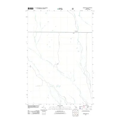
 - 2011 Map of Creighton, 2011 Print
 2011 Creighton2011 Print · USGSCovers Schoolcraft County, including Pines, Creighton, and other nearby areas
 - 2011 Map of Hiawatha, 2011 Print
 2011 Hiawatha2011 Print · USGSCovers Schoolcraft County, including Hiawatha, Thompson Township, and other nearby areas
 - 2011 Map of Shingleton, 2011 Print
 2011 Shingleton2011 Print · USGSCovers Schoolcraft County, including Star, Shingleton, and other nearby areas
Showing maps 1-25 of 190
Top cities of Schoolcraft County
Frequently asked questions
- What are the different types of historical maps available for Schoolcraft County?
- What is the oldest map of Schoolcraft County?
- Where can I purchase historical maps of Schoolcraft County for my home or office?
- Where can I download high-res historical maps of Schoolcraft County?
- Are there historical topographic maps available for Schoolcraft County?
- Is there historical aerial imagery available for Schoolcraft County?
- Where are historical maps of Schoolcraft County sourced from?