Old Maps of Vernon Township, Michigan for Metal Detecting
Plan your next treasure hunt with 37 historic maps of Vernon Township. Find old homesites, ghost towns, trails, and gathering spots that may be lost to time — perfect for identifying promising metal detecting locations.
- Locate forgotten sites: Uncover places like long-lost settlements, abandoned rail lines, or gathering spots.
- Plan better hunts: Use map overlays combined with LiDAR or satellite views to narrow in on historically rich areas.
- Made for detectorists: Thousands of hobbyists use these maps to discover relics, coins, and hidden history.
Use these historic maps to boost your research and find new opportunities beneath the surface of Vernon Township.
Vernon Township, MI maps
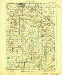
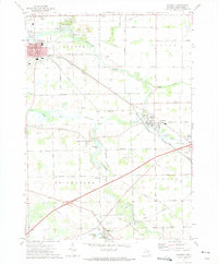
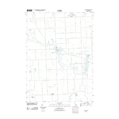
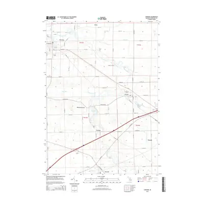
(37)- 1922 Map of Durand
 1922 Durand1922 Print · USGSShiawassee and Genesee counties come alive in the early 1920s as a bustling junction of rail and river. Researchers can trace the sprawling Grand Trunk lines through Durand or locate family roots near the Crapo Farm and Unity Grange.4 unique versions available
 - 1926 Map of Corunna, 1958 Print
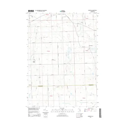
 1926 Corunna1958 Print · USGSShiawassee County in the mid-twenties shows a landscape of busy rail junctions and productive farmland. Genealogists can trace family roots through numerous rural schools like Eddy Sch and settlements including Bancroft and Shiawasseetown.2 unique versions available
 - 1929 Map of Corunna
 1929 Corunna1929 Print · USGSShiawassee County thrives as a rail and industrial hub during the late twenties, centered on the growing cities of Owosso and Corunna. Genealogists can trace family roots through dozens of rural landmarks like Bennington No 1 School, Shiawasseetown, and the Electric Railway route.3 unique versions available
 - 1943 Map of Durand
 1943 Durand1943 Print · USGSMid-century Shiawassee and Genesee Counties are mapped here during a period of agricultural stability and rail expansion. Genealogists can trace family farm locations near Crapo Farm or locate rural schools like Doane Sch and Church Sch.
 - 1944 Map of Corunna
 1944 Corunna1944 Print · USGSMid-Michigan farming and industry converge in the 1940s as major rail lines like the Ann Arbor and Grand Trunk link the countryside. Researchers can trace dozens of rural school sites, from Octagon Sch to Hawkins Sch, alongside the waters of the Shiawassee River.
 - 1954 Map of Detroit
 1954 Detroit1954 Print · USGSThe Detroit metro and its Ontario neighbors are shown at the height of the mid-century industrial era, just as the suburbs were rapidly expanding. Researchers can trace the massive rail networks of the Wabash Railroad or locate landmarks like Grosse Ile and Selfridge Air Force Base.
 - 1958 Map of Grand Rapids, 1973 Print
 1958 Grand Rapids1973 Print · USGSSouthern Michigan at the peak of the postwar era shows a landscape of burgeoning cities and new interstate highways. Trace family roots and regional growth in Grand Rapids, Battle Creek, and the glacial lake country around Gun Lake or Gull Lake.2 unique versions available
 - 1961 Map of Grand Rapids
 1961 Grand Rapids1961 Print · USGSSouthern Michigan at the dawn of the 1960s reveals a region shaped by major river systems and a robust rail network. Trace mid-century industrial growth and land use from Grand Rapids to the Fort Custer Military Reservation and Gun Lake.
 - 1961 Map of Detroit, 1973 Print
 1961 Detroit1973 Print · USGSThe international border between Michigan and Ontario was a bustling industrial corridor in the early sixties. Researchers can trace the transit networks and riverfront infrastructure connecting Detroit to Windsor via the Detroit-Windsor Tunnel and major air hubs like Willow Run Airport.2 unique versions available
 - 1962 Map of Grand Rapids
 1962 Grand Rapids1962 Print · USGSMid-century Southern Michigan is mapped here at a time of massive growth, showing the expanding urban footprints of Grand Rapids and Lansing. Researchers can trace the legacy of the Grand Trunk Western RR, find historic boundaries of the Fort Custer Military Reservation, or locate sporting camps around Gun Lake.2 unique versions available
 - 1965 Map of Detroit
 1965 Detroit1965 Print · USGSThe industrial corridor between Michigan and Ontario is captured here at mid-century, showing the dense rail and river networks of the Great Lakes. Local historians can trace the paths of the Grand Trunk Western RR and locate key landmarks like Selfridge Air Force Base and Grosse Ile.
 - 1969 Map of Durand, 1971 Print
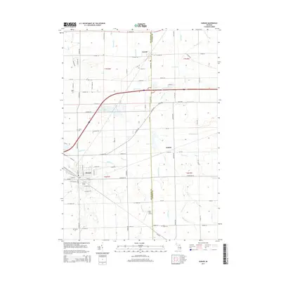
 1969 Durand1971 Print · USGSShiawassee and Genesee Counties are captured in the late sixties as the rail-driven town of Durand and surrounding farmsteads expanded. Local historians can trace family roots through Yerian Cem, Pilgrim Ch, and the small rail-side hamlet of Duffield.2 unique versions available
 - 1969 Map of Byron, 1971 Print
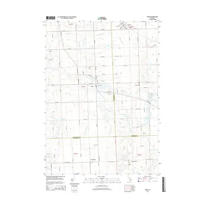
 1969 Byron1971 Print · USGSByron and the Shiawassee River valley are captured here in the late sixties, showing a landscape of small villages and glacial lakes. Trace family history at Oakwood Cem or explore old local landmarks like the Byron Millpond and Lyndee Landing Strip.3 unique versions available
 - 1972 Map of Corunna SE, 1975 Print
 1972 Corunna SE1975 Print · USGSSoutheastern Shiawassee County is captured here in the early seventies, showing a landscape of small agricultural settlements and winding river valleys. Family historians can trace the locations of the Gaylord Cem, the community at Antrim Center, and the rural Antrim Ch.
 - 1972 Map of Corunna, 1975 Print
 1972 Corunna1975 Print · USGSShiawassee County's river-valley settlements and rail corridors are captured in detail in the early 1970s. Researchers can trace the legacy of coal mining at the Strip Mine or locate family roots at rural sites like Hawkins Cem and Shiawasseetown.
 - 1983 Map of Lansing, 1984 Print
 1983 Lansing1984 Print · USGSThe Lansing area and its surrounding river valleys are captured here in the early eighties. Genealogists and historians can trace the rail corridors of the Conrail or locate local landmarks like St Johns Ch and Greenwood Cem.
 - 1985 Map of Pontiac
 1985 Pontiac1985 Print · USGSSoutheast Michigan in the mid-1980s shows a landscape of growing suburban corridors and expansive public parklands. Genealogists and local historians can trace the footprint of rail lines like the Grand Trunk Western or locate family sites near Oakwood Cem and White Chapel Cem.2 unique versions available
 - 2011 Map of Corunna, 2011 Print
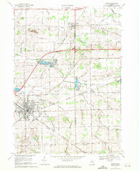
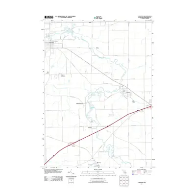 2011 Corunna2011 Print · USGSCovers Vernon Township, including Durand, Corunna, and other nearby areas
 - 2011 Map of Corunna SE, 2011 Print
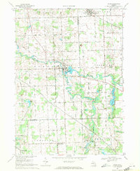
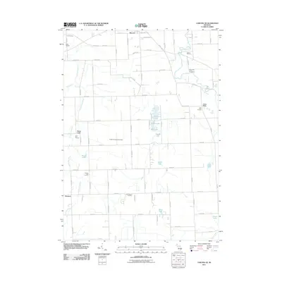 2011 Corunna SE2011 Print · USGSCovers Vernon Township, including Conway Township, Cohoctah Township, and other nearby areas
 - 2011 Map of Durand, 2011 Print
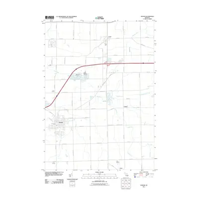 2011 Durand2011 Print · USGSCovers Vernon Township, including Durand, Lennon, and other nearby areas
 - 2011 Map of Byron, 2011 Print
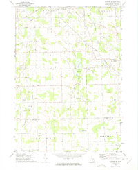
 2011 Byron2011 Print · USGSCovers Vernon Township, including Deerfield Township, Cohoctah Township, and other nearby areas
 - 2014 Map of Durand, 2014 Print
 2014 Durand2014 Print · USGSCovers Vernon Township, including Durand, Lennon, and other nearby areas
 - 2014 Map of Corunna SE, 2014 Print
 2014 Corunna SE2014 Print · USGSCovers Vernon Township, including Conway Township, Cohoctah Township, and other nearby areas
 - 2014 Map of Byron, 2014 Print
 2014 Byron2014 Print · USGSCovers Vernon Township, including Deerfield Township, Cohoctah Township, and other nearby areas
 - 2014 Map of Corunna, 2014 Print
 2014 Corunna2014 Print · USGSCovers Vernon Township, including Durand, Corunna, and other nearby areas
Showing maps 1-25 of 37
Top cities near Vernon Township
- Flint historical maps
- Owosso historical maps
- Hartland Township historical maps
- Oceola Township historical maps
- Tyrone Township historical maps
- Flushing historical maps
See more
Top neighborhoods of Vernon Township
Frequently asked questions
- What are the different types of historical maps available for Vernon Township?
- What is the oldest map of Vernon Township?
- Where can I purchase historical maps of Vernon Township for my home or office?
- Where can I download high-res historical maps of Vernon Township?
- Are there historical topographic maps available for Vernon Township?
- Is there historical aerial imagery available for Vernon Township?
- Where are historical maps of Vernon Township sourced from?