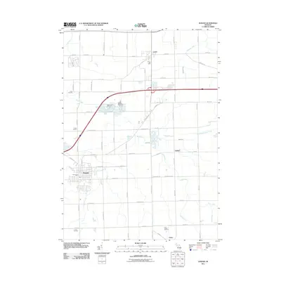
2011 Map of Durand
USGS Topo · Published 2011About this map
Durand serves as a prominent focal point in this southern Michigan landscape, where the street grid transitions into an expansive network of rural roads and agricultural drainage. This 2011 survey illustrates the continued importance of the Durand Post Office and the centralized hub of the town relative to smaller surrounding settlements like Lennon, Gaines, and Duffield. The terrain is defined by a intricate system of waterways, including Threemile Creek, Webb Creek, and the West Branch Swartz Creek, alongside engineered features like the Atherton Drain. Genealogists and local historians will find significant value in the documentation of several family-named and community burial grounds, such as Yerian Cemetery, Chalker Cemetery, Lovejoy Cemetery, and Saint Joseph Cemetery. Leisure and community life are represented by Leisure Lake Campground and the Holiday Meadows Golf Course, which occupy the spaces between the region's historic farmsteads and modern infrastructure.
Find a feature on this map
58 named features on this map. Tap any name to fly to it.
Don’t see what you’re looking for? This feature index may not catch every label — zoom into the map to look around manually.
Map Details
Editions of this 2011 Durand Map
This is the sole edition of this map. No revisions or reprints were ever made.
Other maps of this area

1917 · Chesaning
USGS Topo · 1:62,500

1919 · Burt
USGS Topo · 1:62,500

1921 · Burt
USGS Topo · 1:62,500

1922 · Durand
USGS Topo · 1:62,500

1926 · Corunna
USGS Topo · 1:62,500

1929 · Corunna
USGS Topo · 1:62,500

1943 · Burt
USGS Topo · 1:62,500

1943 · Chesaning
USGS Topo · 1:62,500

1943 · Durand
USGS Topo · 1:62,500

1944 · Corunna
USGS Topo · 1:62,500