
1929 Map of Corunna
USGS Topo · Published 1929About this map
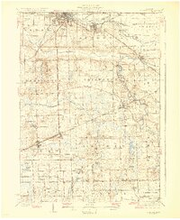
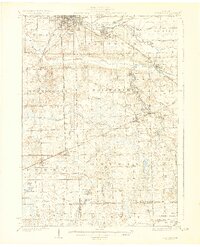
The Shiawassee River anchors this 1920s landscape, winding through a dense network of early 20th-century rail and agriculture. The industrial heart of the region is centered on the twin hubs of Owosso and Corunna, where the Ann Arbor Railroad and Grand Trunk Railway intersect. Evidence of the area's transition from early frontier to an established agrarian and industrial economy is visible in the presence of the Indian Line and specialized infrastructure like the Coal Mine Drain near Corunna.
Find a feature on this map
94 named features on this map. Tap any name to fly to it.
Don’t see what you’re looking for? This feature index may not catch every label — zoom into the map to look around manually.
Map Details
Editions of this 1929 Corunna Map
3 editions found
Other maps of this area

1907 · Howell
USGS Topo · 1:62,500

1908 · Fowlerville
USGS Topo · 1:62,500

1909 · Howell
USGS Topo · 1:62,500

1909 · Mason
USGS Topo · 1:62,500

1910 · Fowlerville
USGS Topo · 1:62,500

1911 · Mason
USGS Topo · 1:62,500

1917 · Chesaning
USGS Topo · 1:62,500

1918 · Elsie
USGS Topo · 1:62,500

1919 · Burt
USGS Topo · 1:62,500

1921 · Burt
USGS Topo · 1:62,500