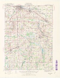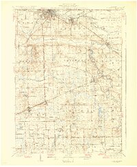
1929 Map of Corunna
USGS Topo · Published 1929About this map
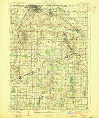
Owosso and Corunna anchor this central Michigan landscape in the late 1920s, serving as a hub for a dense network of steam and traction lines. The intersection of the Grand Trunk Railway System, Ann Arbor Railroad, and Michigan Central Railroad highlights the region's importance as a transit corridor, while an Electric Railroad line traces a path between the primary settlements. The survey reveals a rural society organized around school districts, with unique landmarks such as the Octagon Sch and Hog Island providing specific points of interest for local researchers.
Find a feature on this map
92 named features on this map. Tap any name to fly to it.
Don’t see what you’re looking for? This feature index may not catch every label — zoom into the map to look around manually.
Map Details
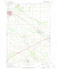
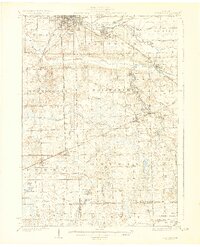
Editions of this 1929 Corunna Map
3 editions found
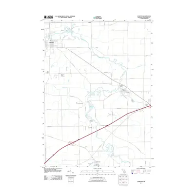
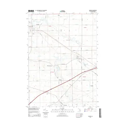
Historical Maps of Owosso Through Time
9 maps found