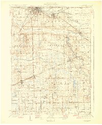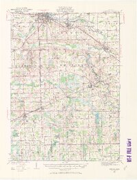
1926 Map of Corunna
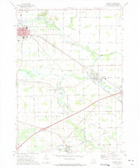
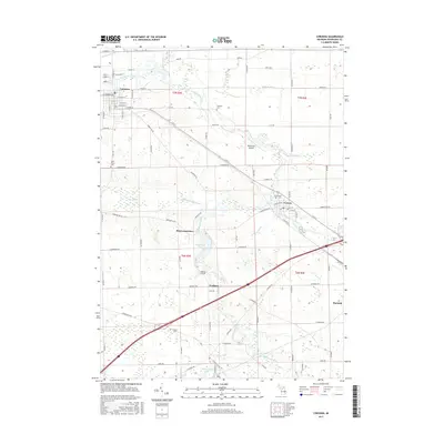
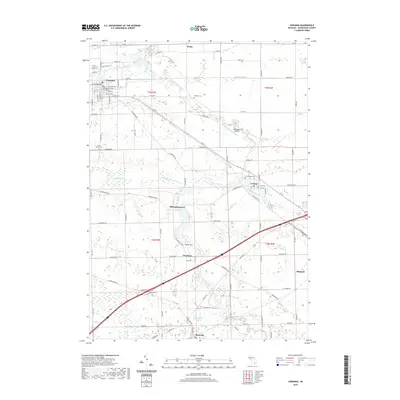
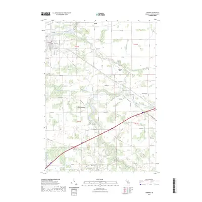
USGS Topo · Published 1971About this map
The Shiawassee River anchors this central Michigan landscape, winding northward through Corunna and Owosso as a primary geographical and industrial artery. In the mid-1920s, the region was a dense network of steam and electric transit, with the Michigan Electric Railway providing interurban service alongside established lines like the Ann Arbor Railroad and the Grand Trunk. Outside the urban centers, the terrain is defined by an intricate system of agricultural and industrial drainage, including the Coal Mine Drain and Caledonia Drain.
Find a feature on this map
93 named features on this map. Tap any name to fly to it.
Don’t see what you’re looking for? This feature index may not catch every label — zoom into the map to look around manually.
Map Details
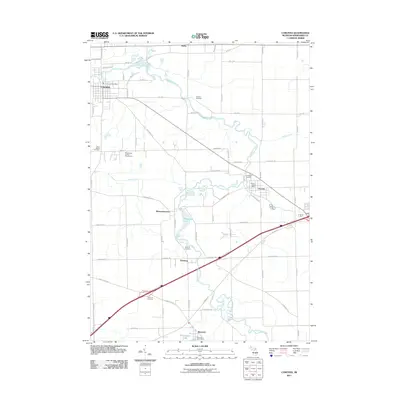
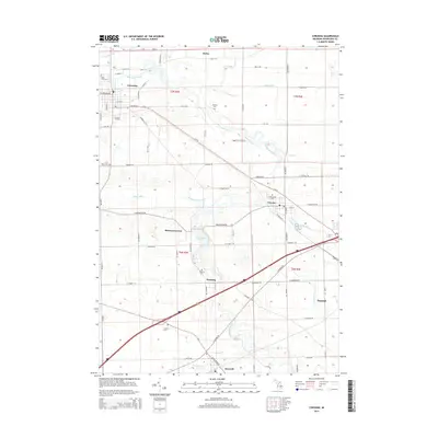
Editions of this 1926 Corunna Map
2 editions found

Historical Maps of Owosso Through Time
9 maps found