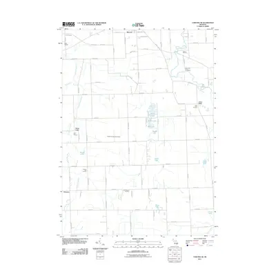
2011 Map of Corunna SE
USGS Topo · Published 2011About this map
The Shiawassee River and the Looking Glass River define the agricultural and residential landscape of this region in the early twenty-first century. These waterways, along with Grub Creek and Sprague Creek, create a network of drainage that historically supported the small rural settlements scattered across the quadrangle. Antrim Center and Union Plains represent the long-standing community hubs of the area, anchored by local institutions such as the Antrim Baptist Cemetery and the Union Plains Cemetery.
Find a feature on this map
78 named features on this map. Tap any name to fly to it.
Don’t see what you’re looking for? This feature index may not catch every label — zoom into the map to look around manually.
Map Details
Editions of this 2011 Corunna SE Map
This is the sole edition of this map. No revisions or reprints were ever made.
Other maps of this area

1907 · Howell
USGS Topo · 1:62,500

1908 · Fowlerville
USGS Topo · 1:62,500

1909 · Howell
USGS Topo · 1:62,500

1910 · Fowlerville
USGS Topo · 1:62,500

1922 · Durand
USGS Topo · 1:62,500

1926 · Corunna
USGS Topo · 1:62,500

1929 · Corunna
USGS Topo · 1:62,500

1943 · Durand
USGS Topo · 1:62,500

1944 · Corunna
USGS Topo · 1:62,500

1954 · Detroit
USGS Topo · 1:250,000